Design Library
New Merch Designs
T-Shirts
Vectors
Trending Merch Designs
PNGs & SVGs
Mockups
T-Shirt PSD Templates
Explore Designs
KDP Designs
Posters
Mugs
Phone Cases
Tote Bags
Pillows
Design Tools
Merch Designer
New!
Mockup Generator
AI Design Generator
Image Vectorizer
Quote Generator
T-Shirt Maker (Old)
Resources
Merch Digest
Blog
Help Center
Learn About Merch
Feedback
Corporate Solutions
Enterprise
API Access
Design Studio
Bulk Design Production
Pricing
Loading...
Sign Up
Login
All
maps
Design Library
New Merch Designs
T-Shirts
Vectors
Trending Merch Designs
PNGs & SVGs
Mockups
T-Shirt PSD Templates
Explore Designs
KDP Designs
Posters
Mugs
Phone Cases
Tote Bags
Pillows
Design Tools
Merch Designer
New!
Mockup Generator
AI Design Generator
Image Vectorizer
Quote Generator
T-Shirt Maker (Old)
Resources
Merch Digest
Blog
Help Center
Learn About Merch
Feedback
Corporate Solutions
Enterprise
API Access
Design Studio
Bulk Design Production
PLANS
All
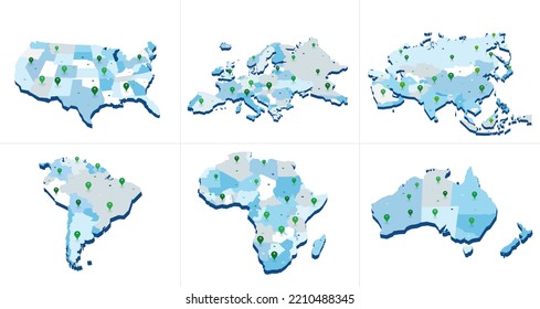
maps
5263 maps Graphics and Designs
Maps Graphics to download
Related:
world maps
,
base maps
,
world livestock maps
Sort by
Most relevant
Sponsored results by
Get 15% off with code: VEXELS15
Show more
Arizona usa map silhouette PNG Design
Choose a folder
All favorites
Create new
Save
Arizona usa map silhouette PNG Design
Premium
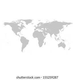
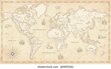
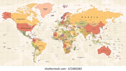
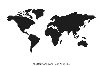
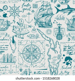
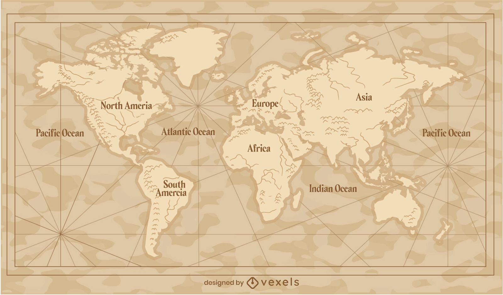
Vintage world map traditional illustration
Choose a folder
All favorites
Create new
Save
Vintage world map traditional illustration
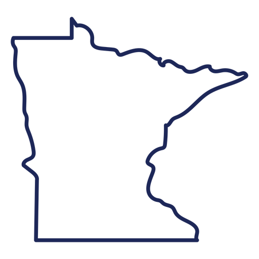
Minnesotta state stroke map PNG Design
Choose a folder
All favorites
Create new
Save
Minnesotta state stroke map PNG Design
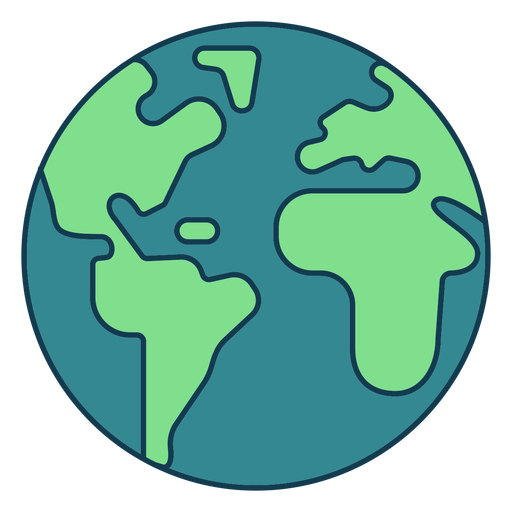
Simple earth geometric color stroke element PNG Design
Choose a folder
All favorites
Create new
Save
Simple earth geometric color stroke element PNG Design
Premium
Sun space icon PNG Design
Choose a folder
All favorites
Create new
Save
Sun space icon PNG Design
Premium
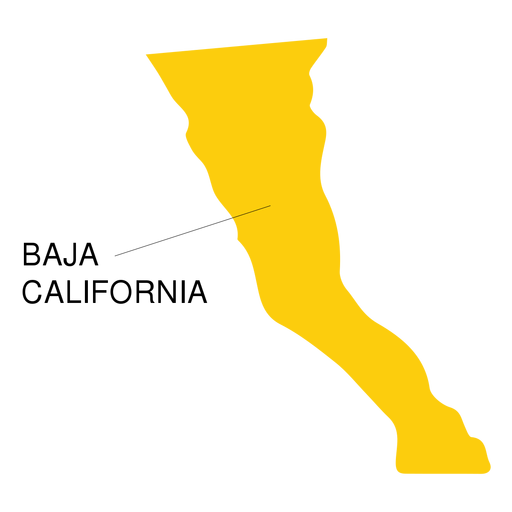
Baja california state map PNG Design
Choose a folder
All favorites
Create new
Save
Baja california state map PNG Design
Premium
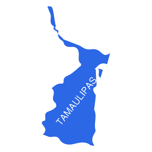
Tamaulipas state map PNG Design
Choose a folder
All favorites
Create new
Save
Tamaulipas state map PNG Design
Premium
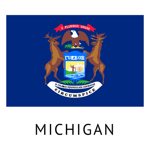
Michigan state flag PNG Design
Choose a folder
All favorites
Create new
Save
Michigan state flag PNG Design
Premium
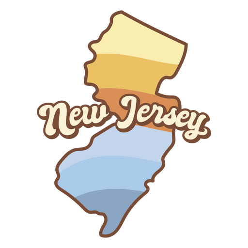
Map of new jersey with the words new jersey on it PNG Design
Choose a folder
All favorites
Create new
Save
Map of new jersey with the words new jersey on it PNG Design
Tarot card strength cut out PNG Design
Choose a folder
All favorites
Create new
Save
Tarot card strength cut out PNG Design
Premium
Oaxaca state map PNG Design
Choose a folder
All favorites
Create new
Save
Oaxaca state map PNG Design
Premium
Rio de janeiro state map PNG Design
Choose a folder
All favorites
Create new
Save
Rio de janeiro state map PNG Design
Premium
Grid earth icon PNG Design
Choose a folder
All favorites
Create new
Save
Grid earth icon PNG Design
Colorado usa map stroke PNG Design
Choose a folder
All favorites
Create new
Save
Colorado usa map stroke PNG Design
Print ready
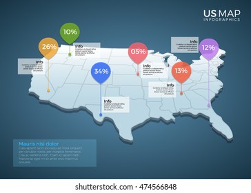
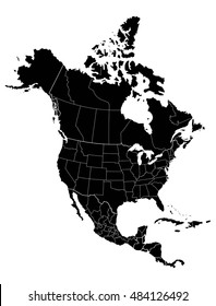
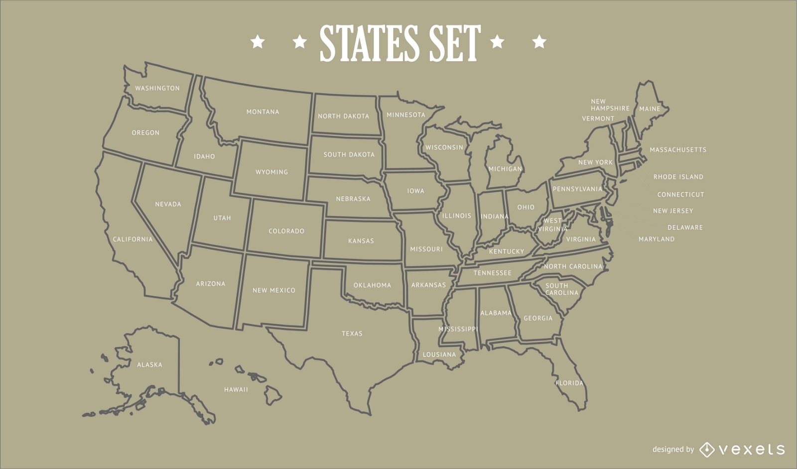
USA States Map Design
Choose a folder
All favorites
Create new
Save
USA States Map Design
Premium
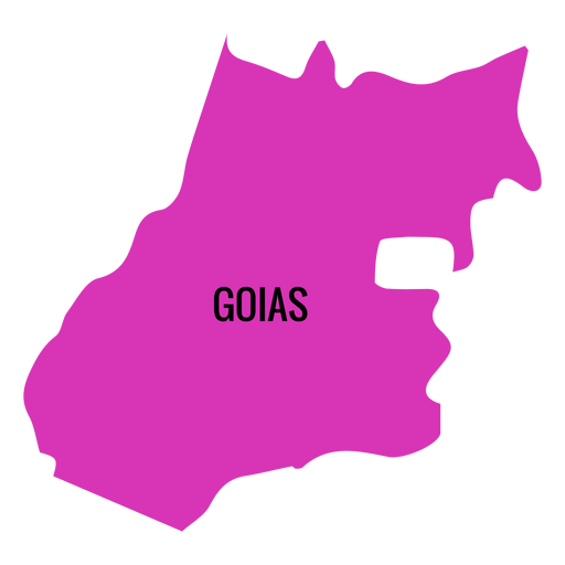
Goias state map PNG Design
Choose a folder
All favorites
Create new
Save
Goias state map PNG Design
Premium
Gabon national flag PNG Design
Choose a folder
All favorites
Create new
Save
Gabon national flag PNG Design
Antigua guatemala flat PNG Design
Choose a folder
All favorites
Create new
Save
Antigua guatemala flat PNG Design
Earth planet illustration earth PNG Design
Choose a folder
All favorites
Create new
Save
Earth planet illustration earth PNG Design
Premium
Queretaro de arteaga state map PNG Design
Choose a folder
All favorites
Create new
Save
Queretaro de arteaga state map PNG Design
Premium
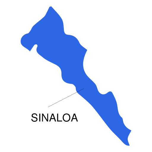
Sinaloa state map PNG Design
Choose a folder
All favorites
Create new
Save
Sinaloa state map PNG Design
Premium
Planet illustration PNG Design
Choose a folder
All favorites
Create new
Save
Planet illustration PNG Design
Premium
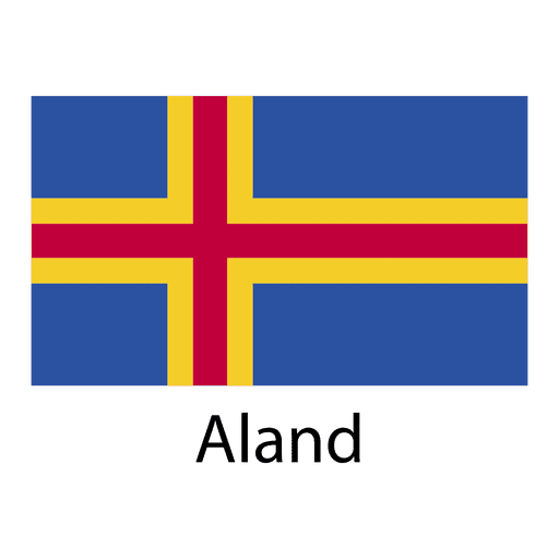
Aland national flag PNG Design
Choose a folder
All favorites
Create new
Save
Aland national flag PNG Design
Premium
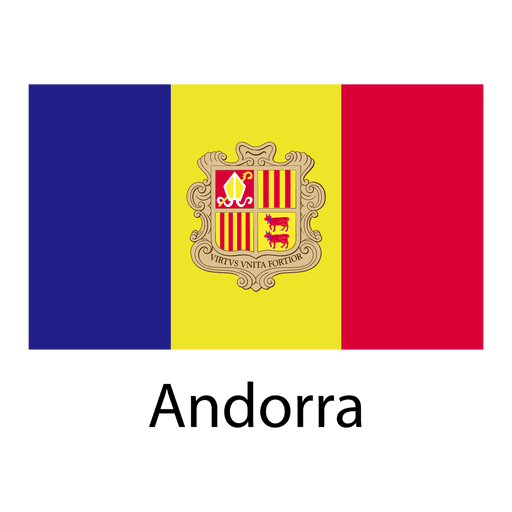
Andorra national flag PNG Design
Choose a folder
All favorites
Create new
Save
Andorra national flag PNG Design
Premium
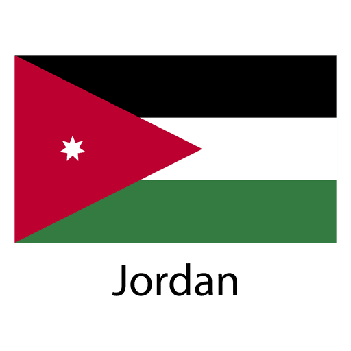
Jordan national flag PNG Design
Choose a folder
All favorites
Create new
Save
Jordan national flag PNG Design
Premium
Macedonia national flag PNG Design
Choose a folder
All favorites
Create new
Save
Macedonia national flag PNG Design
Premium
Myanmar burma national flag PNG Design
Choose a folder
All favorites
Create new
Save
Myanmar burma national flag PNG Design
Travel the world
Choose a folder
All favorites
Create new
Save
Travel the world
Tarot card queen of pentacles filled stroke PNG Design
Choose a folder
All favorites
Create new
Save
Tarot card queen of pentacles filled stroke PNG Design
Neptune planet illustration PNG Design
Choose a folder
All favorites
Create new
Save
Neptune planet illustration PNG Design
Premium
Durango state map PNG Design
Choose a folder
All favorites
Create new
Save
Durango state map PNG Design
Premium
Yucatan state map PNG Design
Choose a folder
All favorites
Create new
Save
Yucatan state map PNG Design
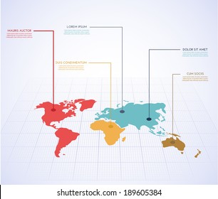
Australia illustration map
Choose a folder
All favorites
Create new
Save
Australia illustration map
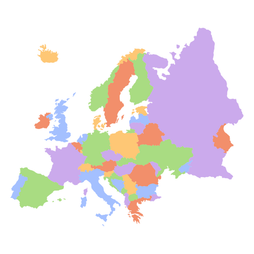
Europe flat continents map PNG Design
Choose a folder
All favorites
Create new
Save
Europe flat continents map PNG Design
Idaho usa map silhouette PNG Design
Choose a folder
All favorites
Create new
Save
Idaho usa map silhouette PNG Design
Premium
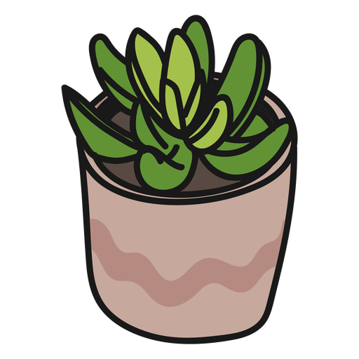
Plants succulents green tranquil illustration PNG Design
Choose a folder
All favorites
Create new
Save
Plants succulents green tranquil illustration PNG Design
Premium
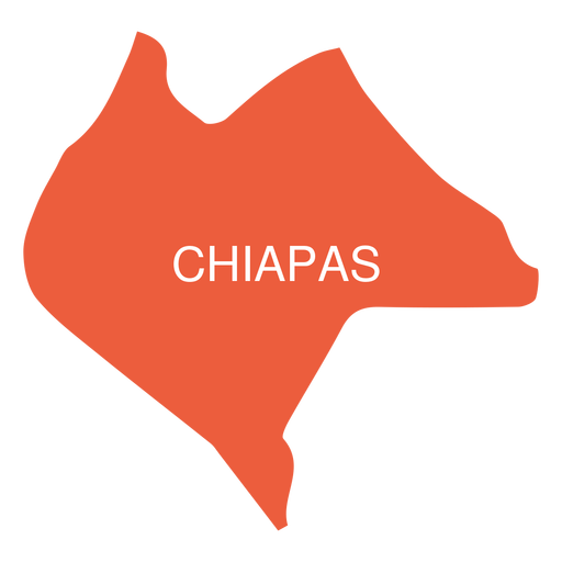
Chiapas state map PNG Design
Choose a folder
All favorites
Create new
Save
Chiapas state map PNG Design
Premium
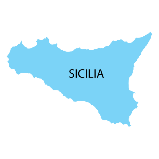
Sicily region map PNG Design
Choose a folder
All favorites
Create new
Save
Sicily region map PNG Design
Premium
Digestive system human body PNG Design
Choose a folder
All favorites
Create new
Save
Digestive system human body PNG Design
Premium
Cameroon national flag PNG Design
Choose a folder
All favorites
Create new
Save
Cameroon national flag PNG Design
Print ready
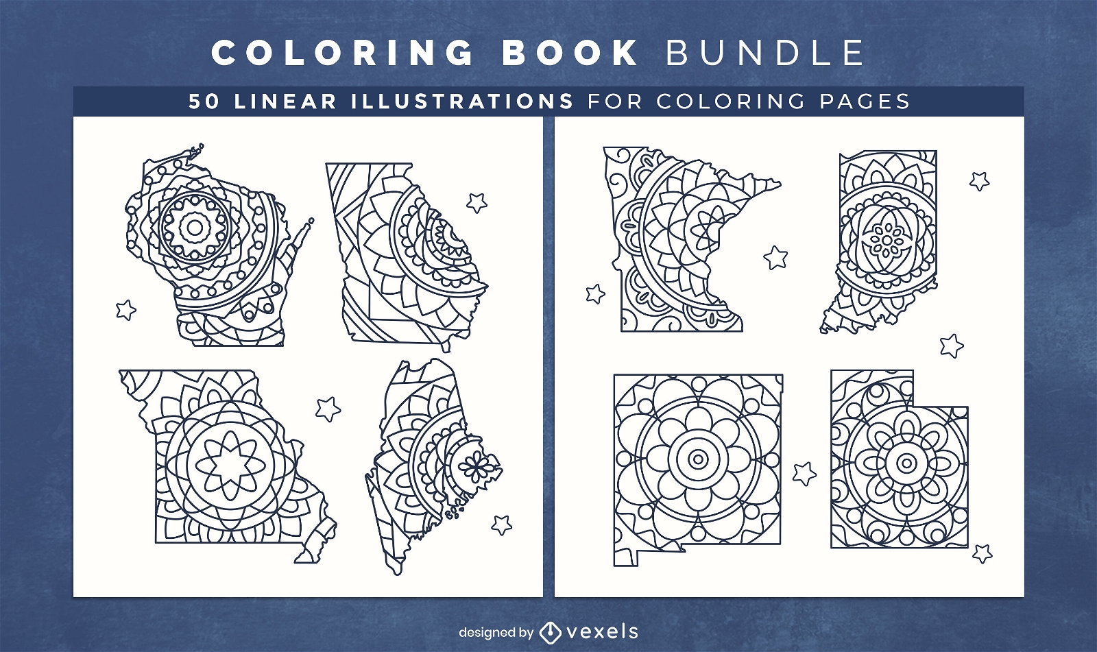
Mandala USA states coloring book design pages
Choose a folder
All favorites
Create new
Save
Mandala USA states coloring book design pages
Casette retro cartoon PNG Design
Choose a folder
All favorites
Create new
Save
Casette retro cartoon PNG Design
Circular rope knot color stroke PNG Design
Choose a folder
All favorites
Create new
Save
Circular rope knot color stroke PNG Design
Premium
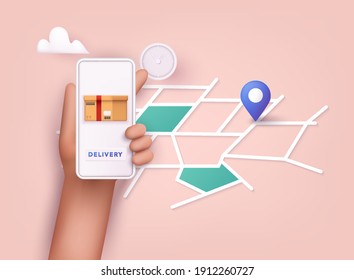
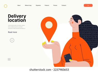
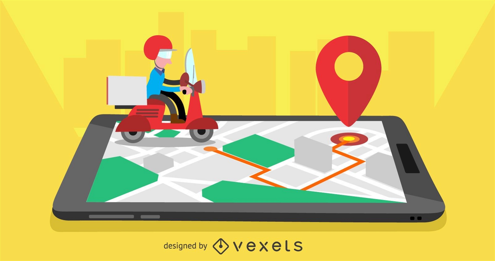
Delivery mobile app design
Choose a folder
All favorites
Create new
Save
Delivery mobile app design
Premium
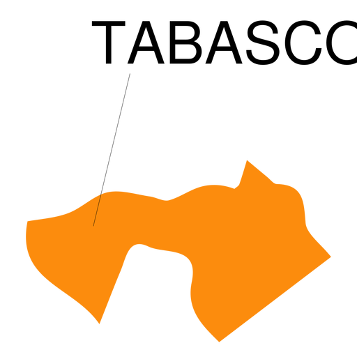
Tabasco state map PNG Design
Choose a folder
All favorites
Create new
Save
Tabasco state map PNG Design
Premium
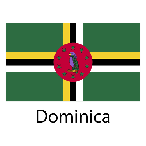
Dominica national flag PNG Design
Choose a folder
All favorites
Create new
Save
Dominica national flag PNG Design
Premium
Kiribati national flag PNG Design
Choose a folder
All favorites
Create new
Save
Kiribati national flag PNG Design
Premium
Libya national flag PNG Design
Choose a folder
All favorites
Create new
Save
Libya national flag PNG Design
Premium
Maldives national flag PNG Design
Choose a folder
All favorites
Create new
Save
Maldives national flag PNG Design
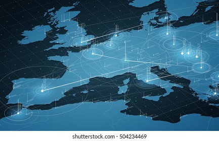
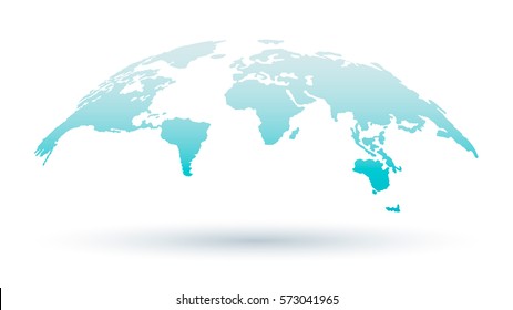
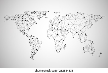
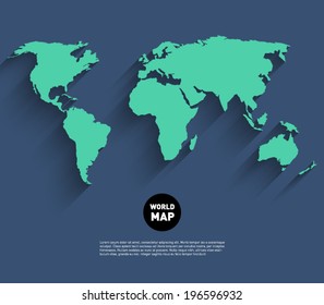
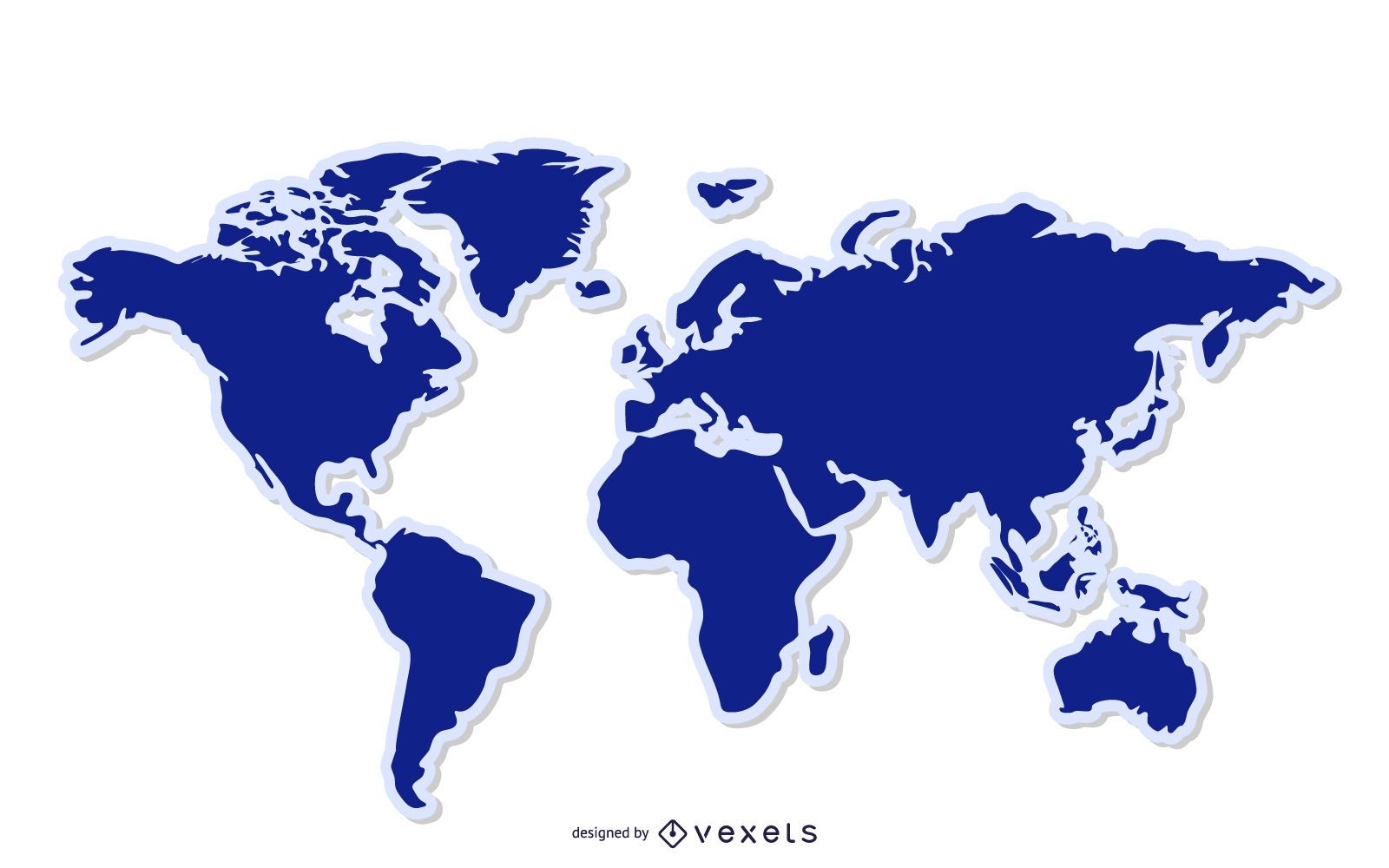
Blue World Map Background
Choose a folder
All favorites
Create new
Save
Blue World Map Background
Boost Your Business
With The Leading Graphic Platform For Merch.
SEE PLANS
Next
of 106
prev page
next page