Design Library
New Merch Designs
T-Shirts
Vectors
Trending Merch Designs
PNGs & SVGs
Mockups
T-Shirt PSD Templates
Explore Designs
KDP Designs
Posters
Mugs
Phone Cases
Tote Bags
Pillows
Design Tools
Merch Designer
New!
Mockup Generator
AI Design Generator
Image Vectorizer
Quote Generator
T-Shirt Maker (Old)
Resources
Merch Digest
Blog
Help Center
Learn About Merch
Feedback
Corporate Solutions
Enterprise
API Access
Design Studio
Bulk Design Production
Pricing
Loading...
Sign Up
Login
All
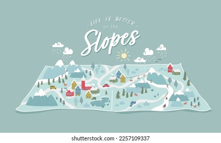
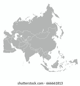
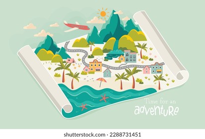
maps
Design Library
New Merch Designs
T-Shirts
Vectors
Trending Merch Designs
PNGs & SVGs
Mockups
T-Shirt PSD Templates
Explore Designs
KDP Designs
Posters
Mugs
Phone Cases
Tote Bags
Pillows
Design Tools
Merch Designer
New!
Mockup Generator
AI Design Generator
Image Vectorizer
Quote Generator
T-Shirt Maker (Old)
Resources
Merch Digest
Blog
Help Center
Learn About Merch
Feedback
Corporate Solutions
Enterprise
API Access
Design Studio
Bulk Design Production
PLANS
All
maps
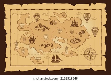
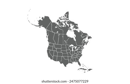
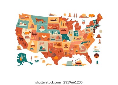
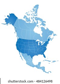
5263 maps Graphics and Designs
Maps Graphics to download
Related:
world maps
,
base maps
,
world livestock maps
Sort by
Most relevant
Sponsored results by
Get 15% off with code: VEXELS15
Show more
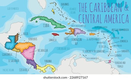
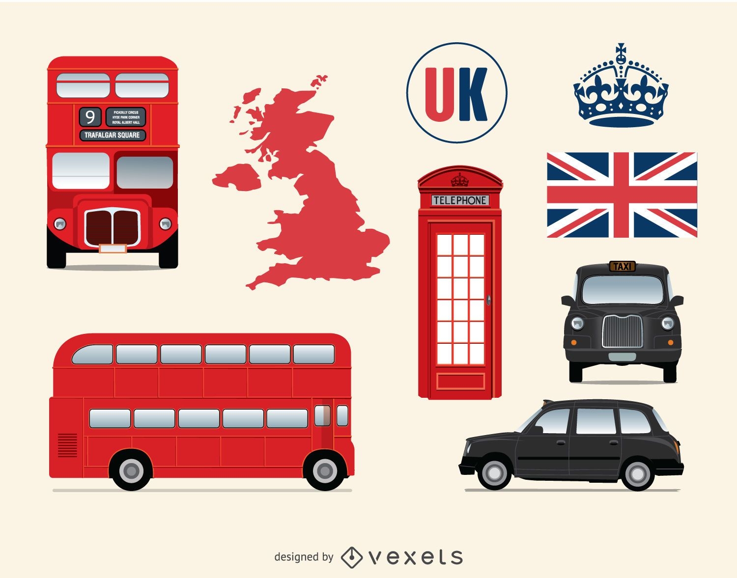
United kingdom and London elements
Choose a folder
All favorites
Create new
Save
United kingdom and London elements
Kentucky usa map silhouette PNG Design
Choose a folder
All favorites
Create new
Save
Kentucky usa map silhouette PNG Design
Connecticut usa map stroke PNG Design
Choose a folder
All favorites
Create new
Save
Connecticut usa map stroke PNG Design
Tarot card queen of cups filled stroke PNG Design
Choose a folder
All favorites
Create new
Save
Tarot card queen of cups filled stroke PNG Design
Premium
Brunei national flag PNG Design
Choose a folder
All favorites
Create new
Save
Brunei national flag PNG Design
Maryland state stroke map PNG Design
Choose a folder
All favorites
Create new
Save
Maryland state stroke map PNG Design
Premium
Earth night icon PNG Design
Choose a folder
All favorites
Create new
Save
Earth night icon PNG Design
Premium
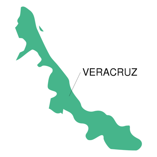
Veracruz state map PNG Design
Choose a folder
All favorites
Create new
Save
Veracruz state map PNG Design
Premium
Countryside silhuette PNG Design
Choose a folder
All favorites
Create new
Save
Countryside silhuette PNG Design
Italy Map
Choose a folder
All favorites
Create new
Save
Italy Map
Premium
Bremen German city skyline PNG Design
Choose a folder
All favorites
Create new
Save
Bremen German city skyline PNG Design
Virginia usa map silhouette PNG Design
Choose a folder
All favorites
Create new
Save
Virginia usa map silhouette PNG Design
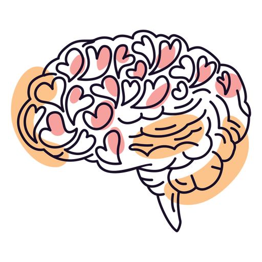
Brain love color stroke PNG Design
Choose a folder
All favorites
Create new
Save
Brain love color stroke PNG Design
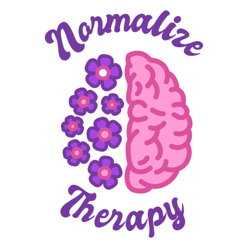
Normalize therapy color stroke PNG Design
Choose a folder
All favorites
Create new
Save
Normalize therapy color stroke PNG Design
Boombox retro cartoon PNG Design
Choose a folder
All favorites
Create new
Save
Boombox retro cartoon PNG Design
Massachusetts usa map silhouette PNG Design
Choose a folder
All favorites
Create new
Save
Massachusetts usa map silhouette PNG Design
Flail filled stroke PNG Design
Choose a folder
All favorites
Create new
Save
Flail filled stroke PNG Design
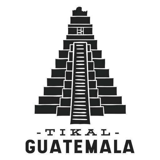
Tikal guatemala cut out PNG Design
Choose a folder
All favorites
Create new
Save
Tikal guatemala cut out PNG Design
German Content
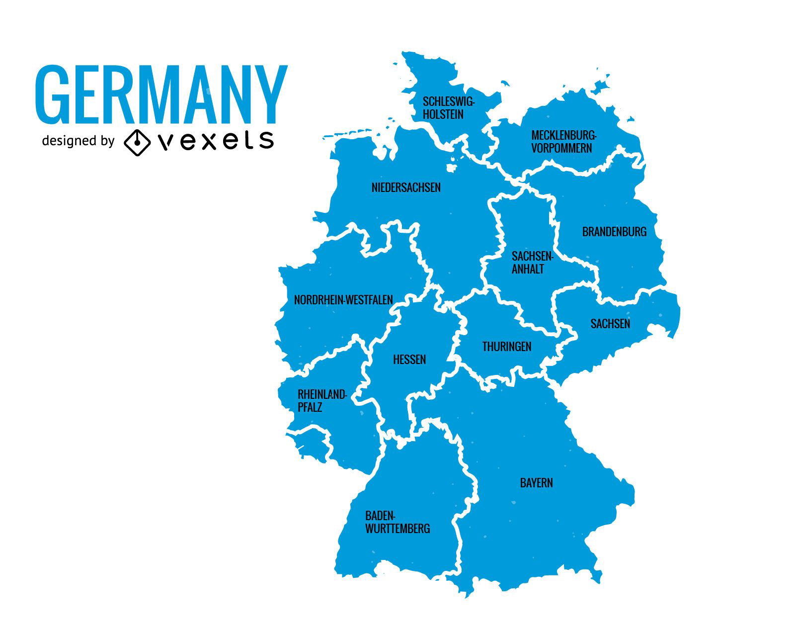
Germany states map
Choose a folder
All favorites
Create new
Save
Germany states map
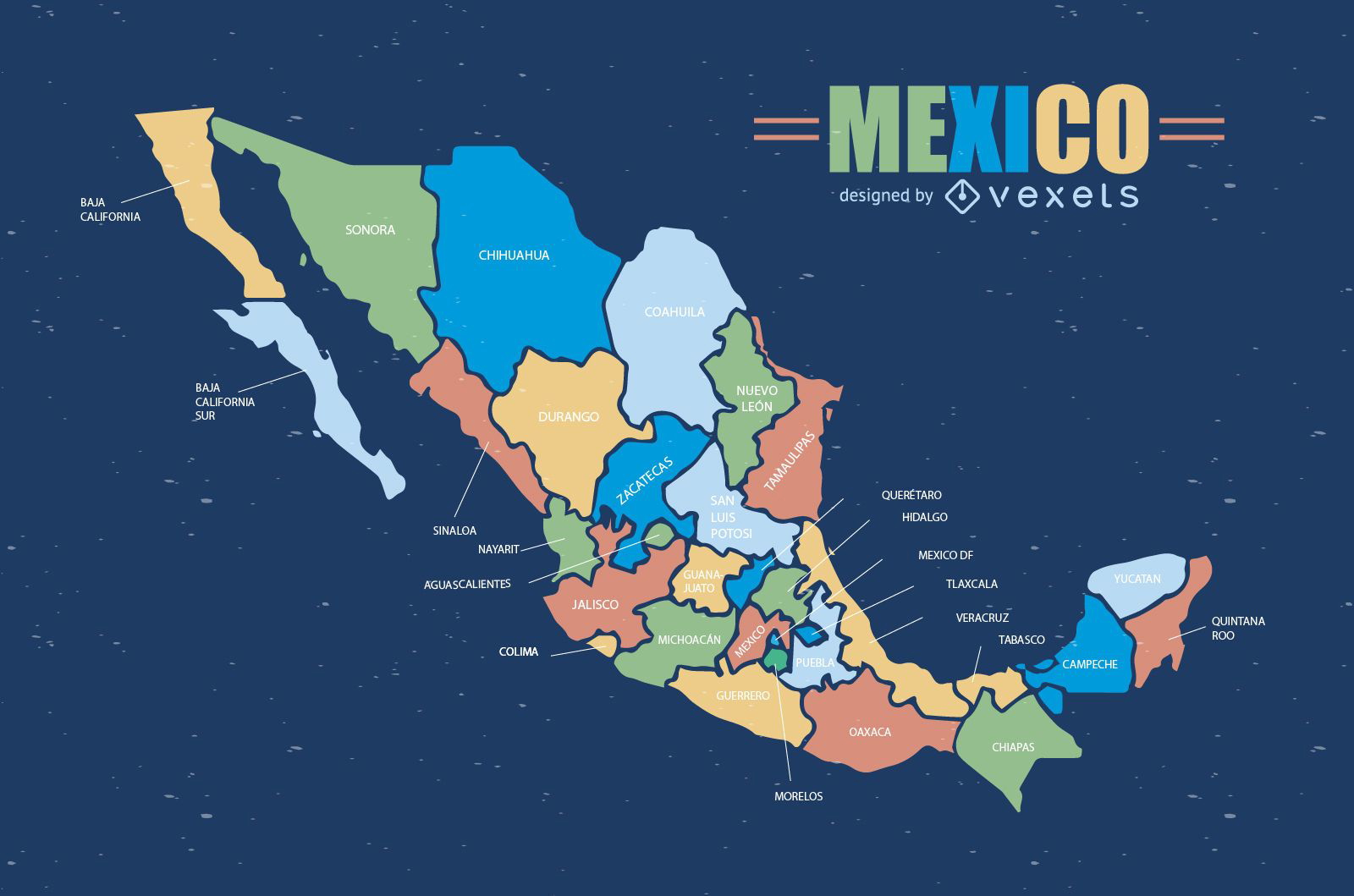
Colorful Mexico map
Choose a folder
All favorites
Create new
Save
Colorful Mexico map
Premium
Burundi national flag PNG Design
Choose a folder
All favorites
Create new
Save
Burundi national flag PNG Design
Premium
Laos national flag PNG Design
Choose a folder
All favorites
Create new
Save
Laos national flag PNG Design
Premium
Mali national flag PNG Design
Choose a folder
All favorites
Create new
Save
Mali national flag PNG Design
Premium
Samoa national flag PNG Design
Choose a folder
All favorites
Create new
Save
Samoa national flag PNG Design
Premium
Pennsylvania sticker with the word pennsylvania on it PNG Design
Choose a folder
All favorites
Create new
Save
Pennsylvania sticker with the word pennsylvania on it PNG Design
Premium
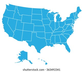
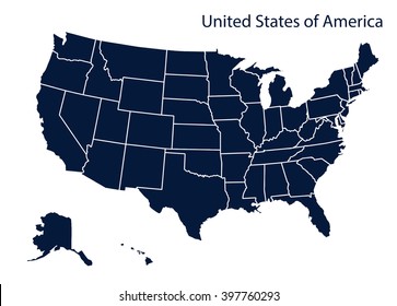
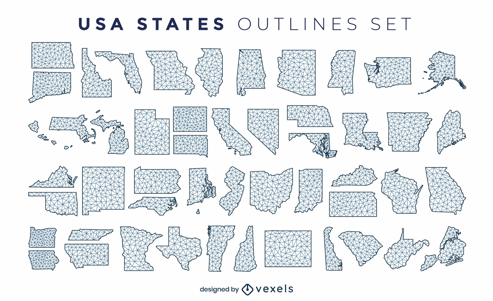
States of the US polygonal silhouettes set
Choose a folder
All favorites
Create new
Save
States of the US polygonal silhouettes set
Pink letter M mandala alphabet PNG Design
Choose a folder
All favorites
Create new
Save
Pink letter M mandala alphabet PNG Design
Tarot card king of swords filled stroke PNG Design
Choose a folder
All favorites
Create new
Save
Tarot card king of swords filled stroke PNG Design
Tarot card the devil cut out PNG Design
Choose a folder
All favorites
Create new
Save
Tarot card the devil cut out PNG Design
Zodiac badge planet virgo stroke PNG Design
Choose a folder
All favorites
Create new
Save
Zodiac badge planet virgo stroke PNG Design
Premium
Spain flag language icon circle PNG Design
Choose a folder
All favorites
Create new
Save
Spain flag language icon circle PNG Design
Premium
Simple earth icon PNG Design
Choose a folder
All favorites
Create new
Save
Simple earth icon PNG Design
Premium
Tennessee state flag PNG Design
Choose a folder
All favorites
Create new
Save
Tennessee state flag PNG Design
Premium
Stone illustration PNG Design
Choose a folder
All favorites
Create new
Save
Stone illustration PNG Design
Premium
Saturn planet rings PNG Design
Choose a folder
All favorites
Create new
Save
Saturn planet rings PNG Design
Premium
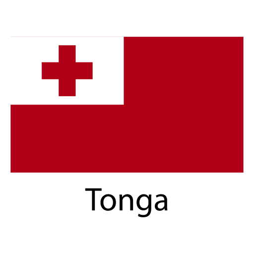
Tonga national flag PNG Design
Choose a folder
All favorites
Create new
Save
Tonga national flag PNG Design
Brazil landmark flag PNG Design
Choose a folder
All favorites
Create new
Save
Brazil landmark flag PNG Design
Washington usa map silhouette PNG Design
Choose a folder
All favorites
Create new
Save
Washington usa map silhouette PNG Design
Indiana usa map stroke PNG Design
Choose a folder
All favorites
Create new
Save
Indiana usa map stroke PNG Design
Wash machine colorful icon PNG Design
Choose a folder
All favorites
Create new
Save
Wash machine colorful icon PNG Design
Premium
Brown whip silhouette PNG Design
Choose a folder
All favorites
Create new
Save
Brown whip silhouette PNG Design
Premium
Banner location symbol PNG Design
Choose a folder
All favorites
Create new
Save
Banner location symbol PNG Design
Premium
Gay heart flag PNG Design
Choose a folder
All favorites
Create new
Save
Gay heart flag PNG Design
Premium
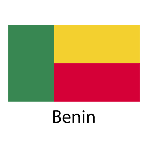
Benin national flag PNG Design
Choose a folder
All favorites
Create new
Save
Benin national flag PNG Design
Premium
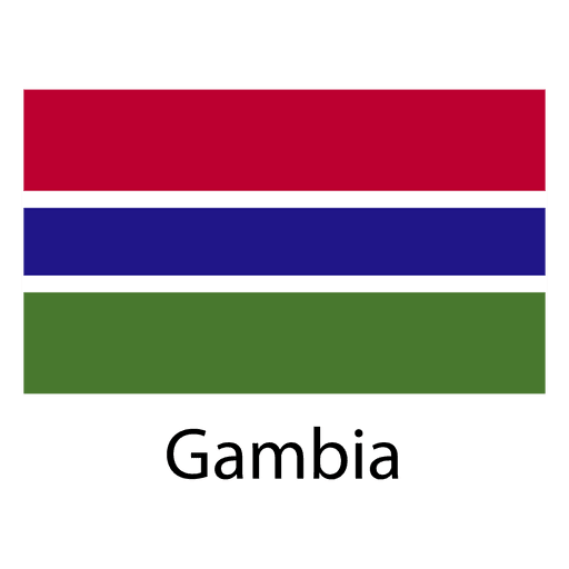
Gambia national flag PNG Design
Choose a folder
All favorites
Create new
Save
Gambia national flag PNG Design
Premium
Luxembourg national flag PNG Design
Choose a folder
All favorites
Create new
Save
Luxembourg national flag PNG Design
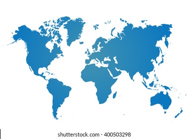
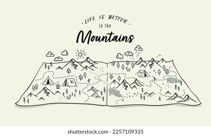
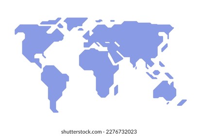
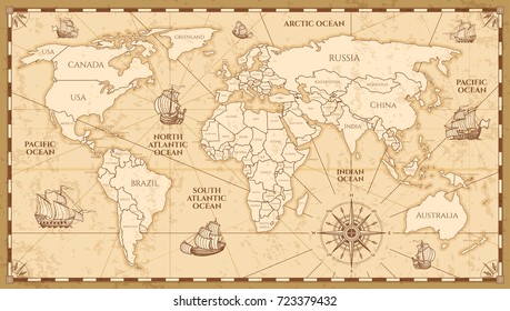
World Map Vector
Choose a folder
All favorites
Create new
Save
World Map Vector
Paper boat hand drawn PNG Design
Choose a folder
All favorites
Create new
Save
Paper boat hand drawn PNG Design
Vector Snowglobe
Choose a folder
All favorites
Create new
Save
Vector Snowglobe
Hawaii usa map silhouette PNG Design
Choose a folder
All favorites
Create new
Save
Hawaii usa map silhouette PNG Design
Boost Your Business
With The Leading Graphic Platform For Merch.
SEE PLANS
Next
of 106
prev page
next page