Design Library
New Merch Designs
T-Shirts
Vectors
Trending Merch Designs
PNGs & SVGs
Mockups
T-Shirt PSD Templates
Explore Designs
KDP Designs
Posters
Mugs
Phone Cases
Tote Bags
Pillows
Design Tools
Merch Designer
New!
Mockup Generator
AI Design Generator
Image Vectorizer
Quote Generator
T-Shirt Maker (Old)
Resources
Merch Digest
Blog
Help Center
Learn About Merch
Feedback
Corporate Solutions
Enterprise
API Access
Design Studio
Bulk Design Production
Pricing
Loading...
Sign Up
Login
All
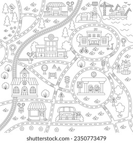
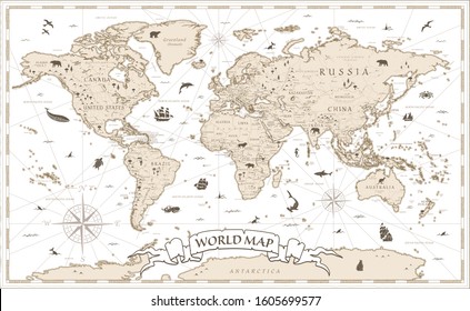
maps
Design Library
New Merch Designs
T-Shirts
Vectors
Trending Merch Designs
PNGs & SVGs
Mockups
T-Shirt PSD Templates
Explore Designs
KDP Designs
Posters
Mugs
Phone Cases
Tote Bags
Pillows
Design Tools
Merch Designer
New!
Mockup Generator
AI Design Generator
Image Vectorizer
Quote Generator
T-Shirt Maker (Old)
Resources
Merch Digest
Blog
Help Center
Learn About Merch
Feedback
Corporate Solutions
Enterprise
API Access
Design Studio
Bulk Design Production
PLANS
All
maps
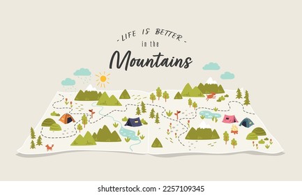
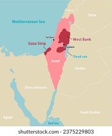
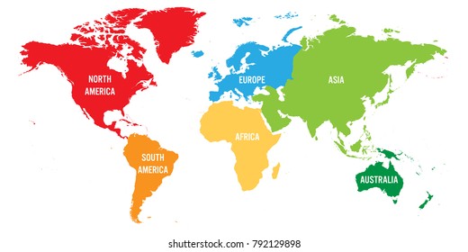
5263 maps Graphics and Designs
Maps Graphics to download
Related:
world maps
,
base maps
,
world livestock maps
Sort by
Most relevant
Sponsored results by
Get 15% off with code: VEXELS15
Show more
Premium
Guam national flag PNG Design
Choose a folder
All favorites
Create new
Save
Guam national flag PNG Design
California usa map stroke PNG Design
Choose a folder
All favorites
Create new
Save
California usa map stroke PNG Design
Salt shaker doodle PNG Design
Choose a folder
All favorites
Create new
Save
Salt shaker doodle PNG Design
Premium
Boulder stone PNG Design
Choose a folder
All favorites
Create new
Save
Boulder stone PNG Design
Premium
Qatar national flag PNG Design
Choose a folder
All favorites
Create new
Save
Qatar national flag PNG Design
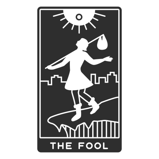
Tarot card the fool cut out PNG Design
Choose a folder
All favorites
Create new
Save
Tarot card the fool cut out PNG Design
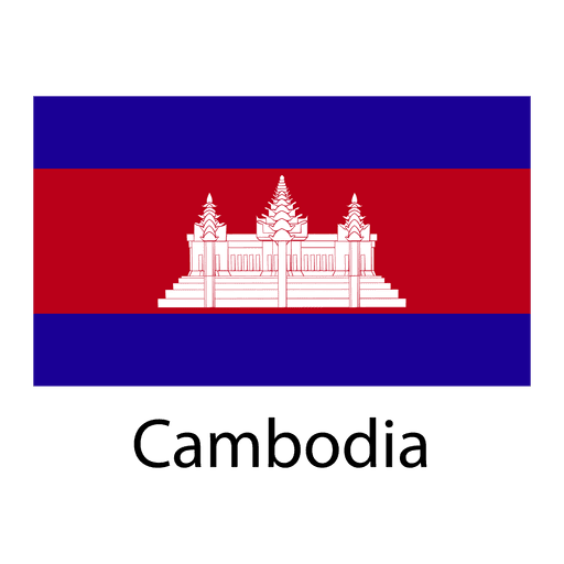
Premium
Cambodia national flag PNG Design
Choose a folder
All favorites
Create new
Save
Cambodia national flag PNG Design
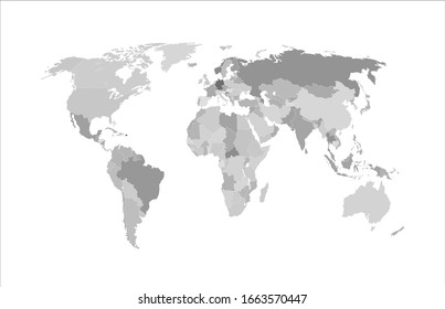
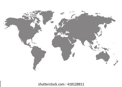
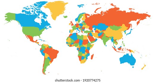
Colored continents world map PNG Design
Choose a folder
All favorites
Create new
Save
Colored continents world map PNG Design
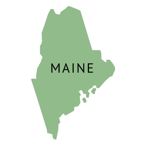
Premium
Maine state plain map PNG Design
Choose a folder
All favorites
Create new
Save
Maine state plain map PNG Design
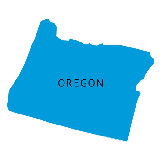
Premium
Oregon state plain map PNG Design
Choose a folder
All favorites
Create new
Save
Oregon state plain map PNG Design
Globe hands earth day label PNG Design
Choose a folder
All favorites
Create new
Save
Globe hands earth day label PNG Design
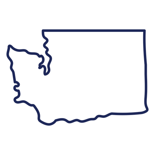
Washington state stroke map PNG Design
Choose a folder
All favorites
Create new
Save
Washington state stroke map PNG Design
Premium
Massachusetts state plain map PNG Design
Choose a folder
All favorites
Create new
Save
Massachusetts state plain map PNG Design
Premium
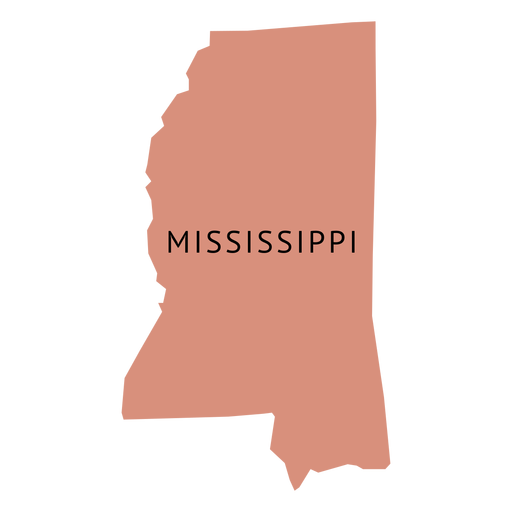
Mississippi state plain map PNG Design
Choose a folder
All favorites
Create new
Save
Mississippi state plain map PNG Design
Premium
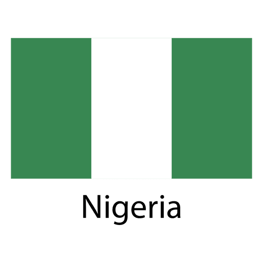
Nigeria national flag PNG Design
Choose a folder
All favorites
Create new
Save
Nigeria national flag PNG Design
Brain thinking stroke PNG Design
Choose a folder
All favorites
Create new
Save
Brain thinking stroke PNG Design
Purple space rocket stroke PNG Design
Choose a folder
All favorites
Create new
Save
Purple space rocket stroke PNG Design
Anchor label cut out PNG Design
Choose a folder
All favorites
Create new
Save
Anchor label cut out PNG Design
Premium
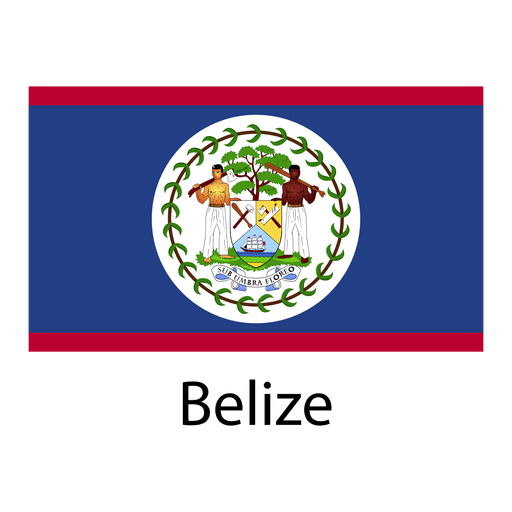
Belize national flag PNG Design
Choose a folder
All favorites
Create new
Save
Belize national flag PNG Design
Premium
Netherlands national flag PNG Design
Choose a folder
All favorites
Create new
Save
Netherlands national flag PNG Design
Michigan usa map silhouette PNG Design
Choose a folder
All favorites
Create new
Save
Michigan usa map silhouette PNG Design
Premium
Connecticut state plain map PNG Design
Choose a folder
All favorites
Create new
Save
Connecticut state plain map PNG Design
Premium
Maryland state plain map PNG Design
Choose a folder
All favorites
Create new
Save
Maryland state plain map PNG Design
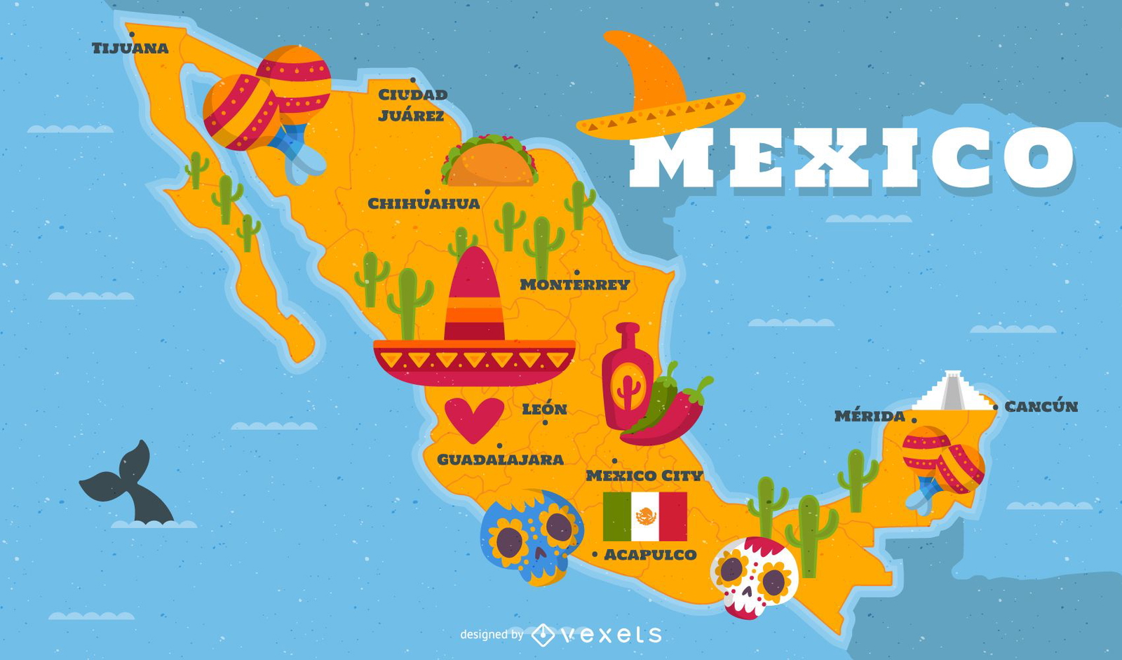
Illustrated Mexico map with traditional elements
Choose a folder
All favorites
Create new
Save
Illustrated Mexico map with traditional elements
Premium
Queen chess figure white PNG Design
Choose a folder
All favorites
Create new
Save
Queen chess figure white PNG Design
Barn cut out PNG Design
Choose a folder
All favorites
Create new
Save
Barn cut out PNG Design
Premium
Ghana national flag PNG Design
Choose a folder
All favorites
Create new
Save
Ghana national flag PNG Design
Premium
Slovenia national flag PNG Design
Choose a folder
All favorites
Create new
Save
Slovenia national flag PNG Design
Premium
England flag language icon circle PNG Design
Choose a folder
All favorites
Create new
Save
England flag language icon circle PNG Design
Premium
Barbados national flag PNG Design
Choose a folder
All favorites
Create new
Save
Barbados national flag PNG Design
Premium
Bolivia national flag PNG Design
Choose a folder
All favorites
Create new
Save
Bolivia national flag PNG Design
Premium
El salvador national flag PNG Design
Choose a folder
All favorites
Create new
Save
El salvador national flag PNG Design
Premium
Candy cane simple icon PNG Design
Choose a folder
All favorites
Create new
Save
Candy cane simple icon PNG Design
Premium
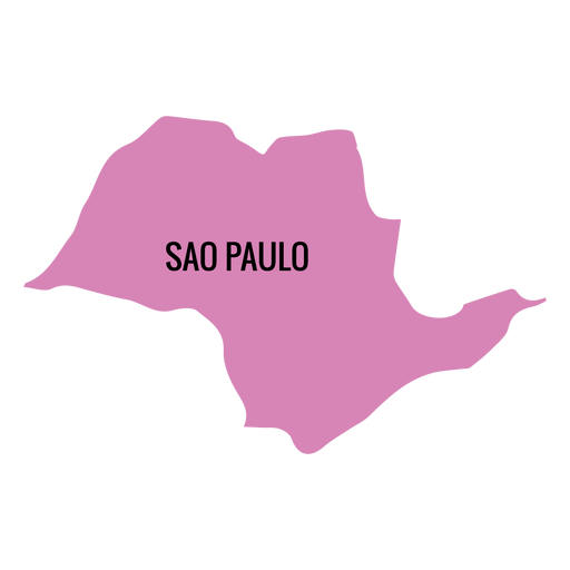
Sao paulo state map PNG Design
Choose a folder
All favorites
Create new
Save
Sao paulo state map PNG Design
Premium
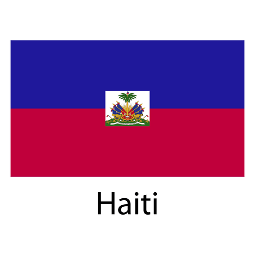
Haiti national flag PNG Design
Choose a folder
All favorites
Create new
Save
Haiti national flag PNG Design
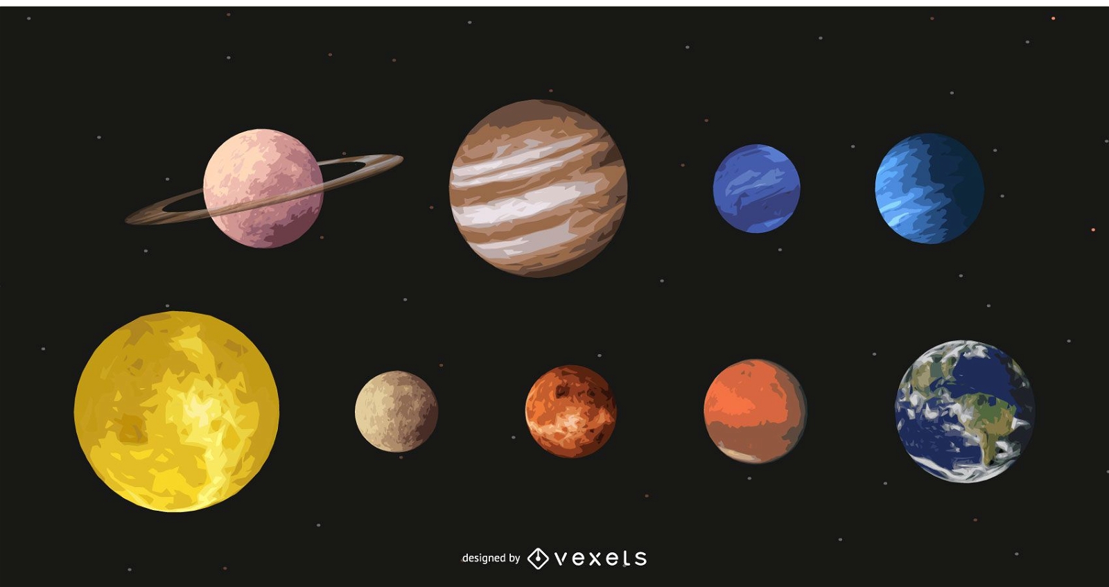
Beautiful Solar Planet Atmosphere
Choose a folder
All favorites
Create new
Save
Beautiful Solar Planet Atmosphere
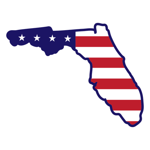
Florida state map color stroke PNG Design
Choose a folder
All favorites
Create new
Save
Florida state map color stroke PNG Design
Premium
The word tennessee PNG Design
Choose a folder
All favorites
Create new
Save
The word tennessee PNG Design
Premium
Desk globe PNG Design
Choose a folder
All favorites
Create new
Save
Desk globe PNG Design
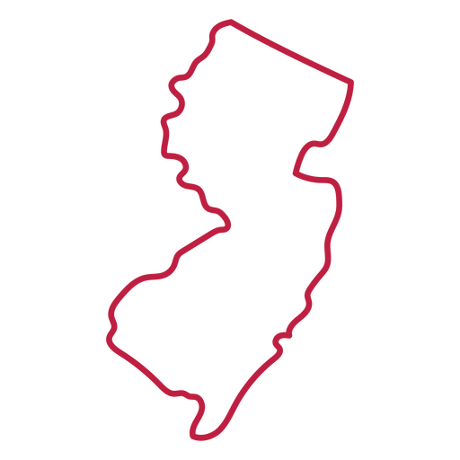
New Jersey state stroke map PNG Design
Choose a folder
All favorites
Create new
Save
New Jersey state stroke map PNG Design
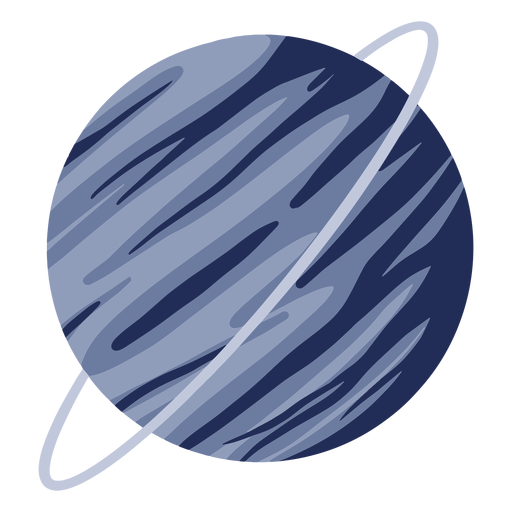
Planet uranus illustration PNG Design
Choose a folder
All favorites
Create new
Save
Planet uranus illustration PNG Design
Premium
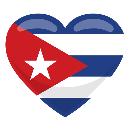
Cuba heart flag PNG Design
Choose a folder
All favorites
Create new
Save
Cuba heart flag PNG Design
Premium
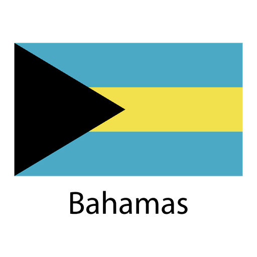
Bahamas national flag PNG Design
Choose a folder
All favorites
Create new
Save
Bahamas national flag PNG Design
Premium
Georgia national flag PNG Design
Choose a folder
All favorites
Create new
Save
Georgia national flag PNG Design
Premium
Singapore national flag PNG Design
Choose a folder
All favorites
Create new
Save
Singapore national flag PNG Design
Premium
Globe on hands doodle PNG Design
Choose a folder
All favorites
Create new
Save
Globe on hands doodle PNG Design
Be kind to your mind stroke PNG Design
Choose a folder
All favorites
Create new
Save
Be kind to your mind stroke PNG Design
Premium
Morocco national flag PNG Design
Choose a folder
All favorites
Create new
Save
Morocco national flag PNG Design
Premium
Senegal national flag PNG Design
Choose a folder
All favorites
Create new
Save
Senegal national flag PNG Design
Premium
Uranus planet icon PNG Design
Choose a folder
All favorites
Create new
Save
Uranus planet icon PNG Design
Boost Your Business
With The Leading Graphic Platform For Merch.
SEE PLANS
Next
of 106
prev page
next page