Design Library
New Merch Designs
T-Shirts
Vectors
Trending Merch Designs
PNGs & SVGs
Mockups
T-Shirt PSD Templates
Explore Designs
KDP Designs
Posters
Mugs
Phone Cases
Tote Bags
Pillows
Design Tools
Merch Designer
New!
Mockup Generator
AI Design Generator
Image Vectorizer
Quote Generator
T-Shirt Maker (Old)
Resources
Merch Digest
Blog
Help Center
Learn About Merch
Feedback
Corporate Solutions
Enterprise
API Access
Design Studio
Bulk Design Production
Pricing
Loading...
Sign Up
Login
All
geography
Design Library
New Merch Designs
T-Shirts
Vectors
Trending Merch Designs
PNGs & SVGs
Mockups
T-Shirt PSD Templates
Explore Designs
KDP Designs
Posters
Mugs
Phone Cases
Tote Bags
Pillows
Design Tools
Merch Designer
New!
Mockup Generator
AI Design Generator
Image Vectorizer
Quote Generator
T-Shirt Maker (Old)
Resources
Merch Digest
Blog
Help Center
Learn About Merch
Feedback
Corporate Solutions
Enterprise
API Access
Design Studio
Bulk Design Production
PLANS
All
geography
783 geography Graphics and Designs
Geography Graphics to download
Related:
geography map
,
geography enthusiasts
,
urban geography
Sort by
Most relevant
Sponsored results by
Get 15% off with code: VEXELS15
Show more
Premium
California retro cut out usa states PNG Design
Choose a folder
All favorites
Create new
Save
California retro cut out usa states PNG Design
Premium
Kentucky retro stroke usa states PNG Design
Choose a folder
All favorites
Create new
Save
Kentucky retro stroke usa states PNG Design
Premium
Delaware retro sunset usa states PNG Design
Choose a folder
All favorites
Create new
Save
Delaware retro sunset usa states PNG Design
Premium
New mexico state plain map PNG Design
Choose a folder
All favorites
Create new
Save
New mexico state plain map PNG Design
Premium
Maine retro cut out usa states PNG Design
Choose a folder
All favorites
Create new
Save
Maine retro cut out usa states PNG Design
Premium
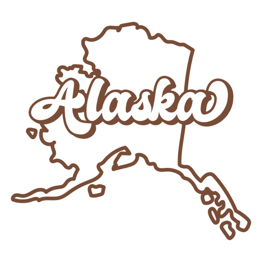
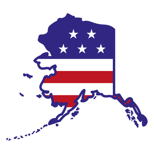
Alaska retro stroke usa states PNG Design
Choose a folder
All favorites
Create new
Save
Alaska retro stroke usa states PNG Design
Premium
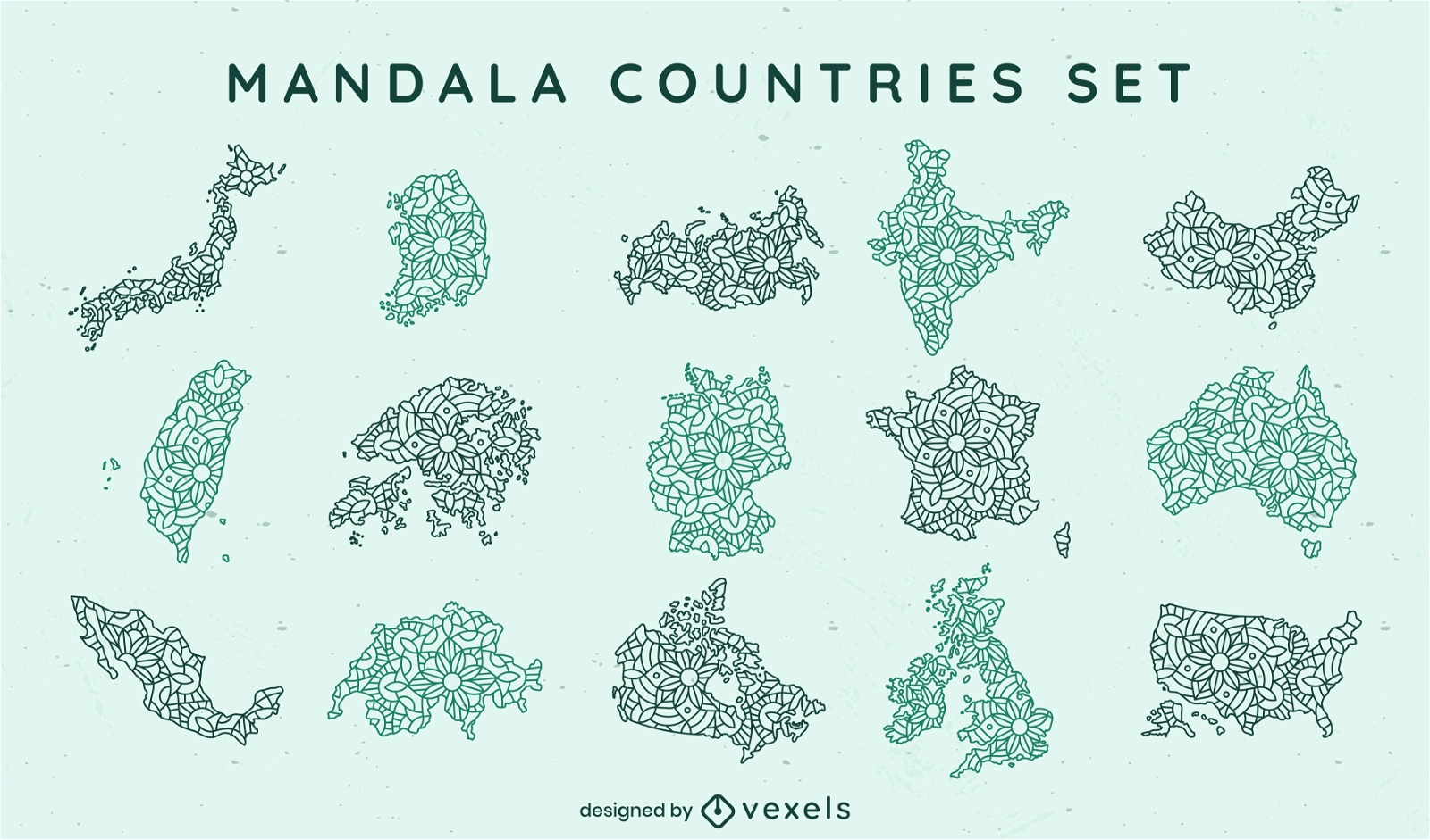
Mandala countries mandala set
Choose a folder
All favorites
Create new
Save
Mandala countries mandala set
Premium
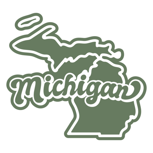
Michigan retro cut out usa states PNG Design
Choose a folder
All favorites
Create new
Save
Michigan retro cut out usa states PNG Design
Premium
Indiana retro stroke usa states PNG Design
Choose a folder
All favorites
Create new
Save
Indiana retro stroke usa states PNG Design
Premium
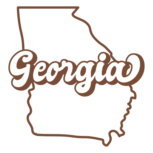
Georgia retro stroke usa states PNG Design
Choose a folder
All favorites
Create new
Save
Georgia retro stroke usa states PNG Design
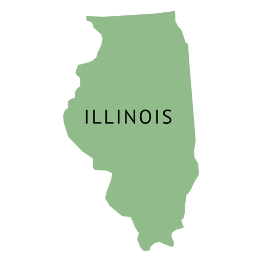
Illinois color stroke states PNG Design
Choose a folder
All favorites
Create new
Save
Illinois color stroke states PNG Design
Premium
Massachusetts retro sunset states usa PNG Design
Choose a folder
All favorites
Create new
Save
Massachusetts retro sunset states usa PNG Design
Alaska color stroke states PNG Design
Choose a folder
All favorites
Create new
Save
Alaska color stroke states PNG Design
Premium
Rhode island state plain map PNG Design
Choose a folder
All favorites
Create new
Save
Rhode island state plain map PNG Design
Premium
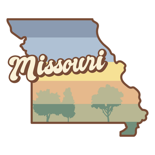
Missouri retro sunset states usa PNG Design
Choose a folder
All favorites
Create new
Save
Missouri retro sunset states usa PNG Design
Premium
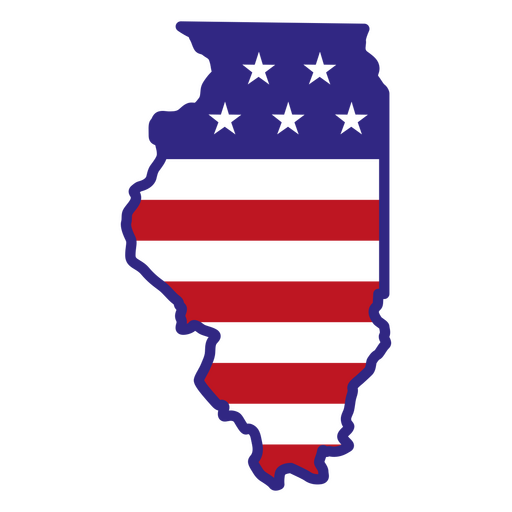
Illinois retro stroke usa states PNG Design
Choose a folder
All favorites
Create new
Save
Illinois retro stroke usa states PNG Design
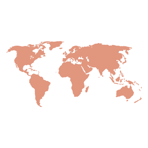
Silhouette World Map PNG Design
Choose a folder
All favorites
Create new
Save
Silhouette World Map PNG Design
Premium
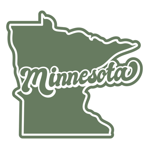
Minnesota retro cut out states usa PNG Design
Choose a folder
All favorites
Create new
Save
Minnesota retro cut out states usa PNG Design
Premium
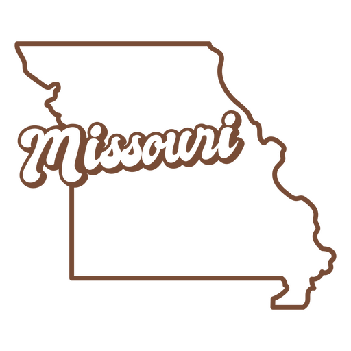
Missouri retro stroke usa states PNG Design
Choose a folder
All favorites
Create new
Save
Missouri retro stroke usa states PNG Design
Premium
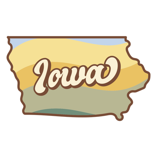
Iowa retro sunset usa states PNG Design
Choose a folder
All favorites
Create new
Save
Iowa retro sunset usa states PNG Design
Premium
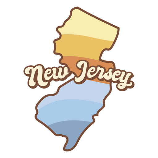
Map of new jersey with the words new jersey on it PNG Design
Choose a folder
All favorites
Create new
Save
Map of new jersey with the words new jersey on it PNG Design
Premium
Mississippi retro cut out usa states PNG Design
Choose a folder
All favorites
Create new
Save
Mississippi retro cut out usa states PNG Design
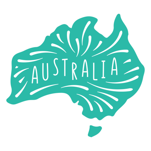
Australia Continent Map PNG Design
Choose a folder
All favorites
Create new
Save
Australia Continent Map PNG Design
Premium
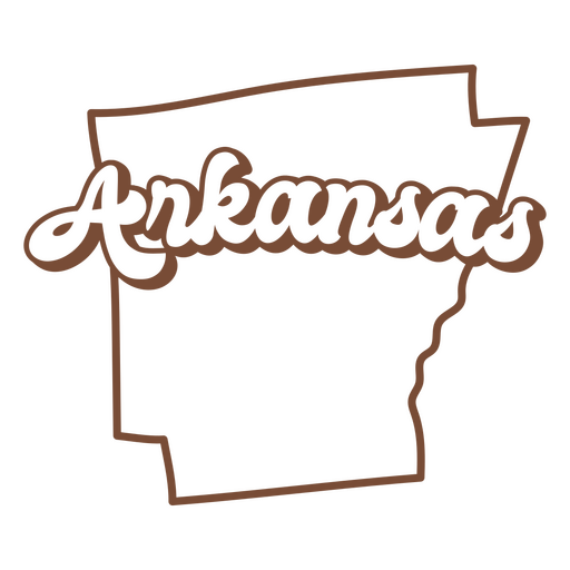
Arkansas retro stroke usa states PNG Design
Choose a folder
All favorites
Create new
Save
Arkansas retro stroke usa states PNG Design
Print ready
Premium
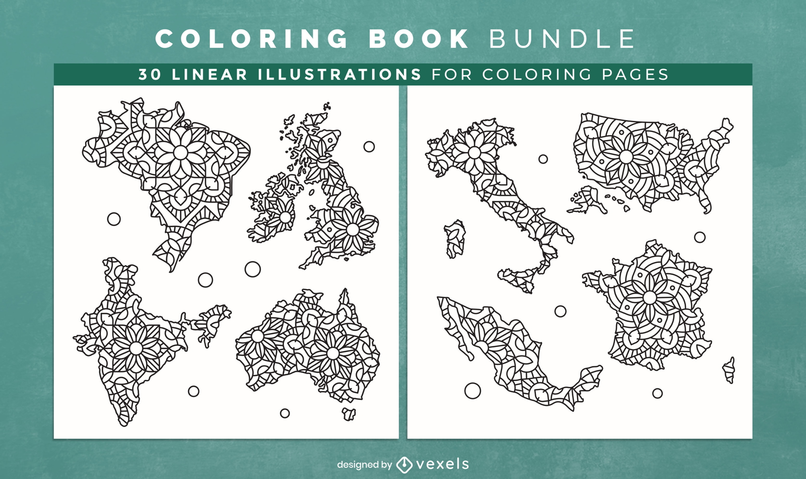
Mandala countries Coloring Book Design Pages
Choose a folder
All favorites
Create new
Save
Mandala countries Coloring Book Design Pages
Premium
Windrose arrow nord south west east silhouette PNG Design
Choose a folder
All favorites
Create new
Save
Windrose arrow nord south west east silhouette PNG Design
Vector globe - earth
Choose a folder
All favorites
Create new
Save
Vector globe - earth
Premium
North dakota state plain map PNG Design
Choose a folder
All favorites
Create new
Save
North dakota state plain map PNG Design
Premium
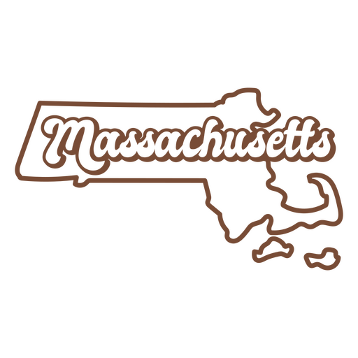
Massachusetts retro stroke usa states PNG Design
Choose a folder
All favorites
Create new
Save
Massachusetts retro stroke usa states PNG Design
Premium
Upside down earth globe illustration PNG Design
Choose a folder
All favorites
Create new
Save
Upside down earth globe illustration PNG Design
Premium
Michigan retro stroke usa states PNG Design
Choose a folder
All favorites
Create new
Save
Michigan retro stroke usa states PNG Design
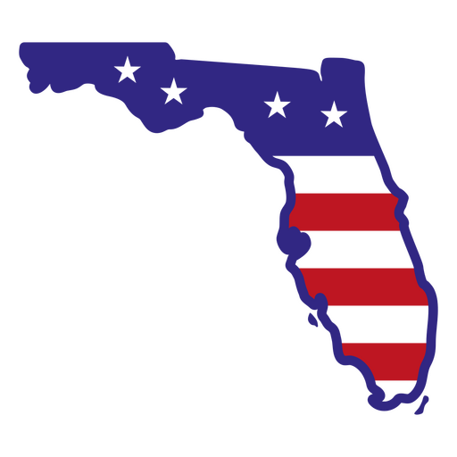
Florida color stroke states PNG Design
Choose a folder
All favorites
Create new
Save
Florida color stroke states PNG Design
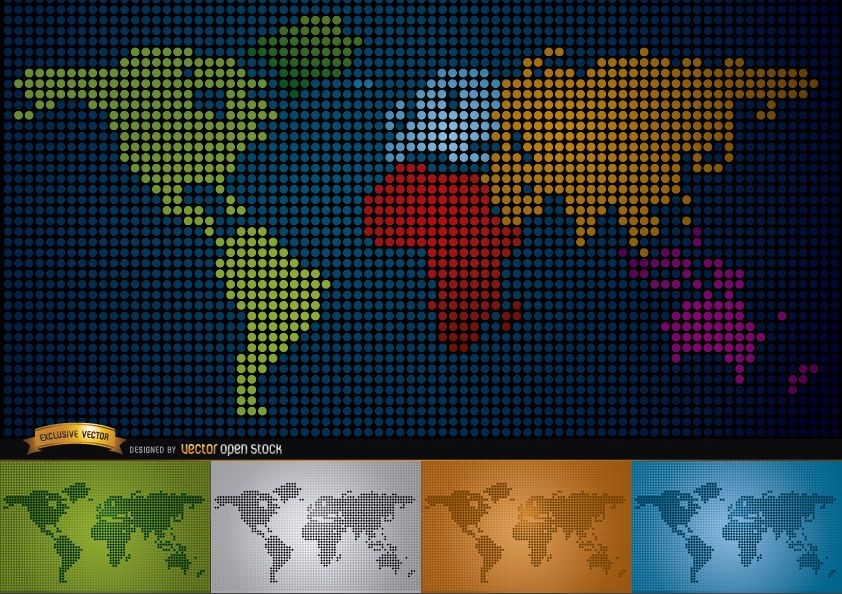
Digital map of world with continents
Choose a folder
All favorites
Create new
Save
Digital map of world with continents
Premium
Alabama retro cut out usa states PNG Design
Choose a folder
All favorites
Create new
Save
Alabama retro cut out usa states PNG Design
Premium
Alaska retro cut out usa states PNG Design
Choose a folder
All favorites
Create new
Save
Alaska retro cut out usa states PNG Design
Premium
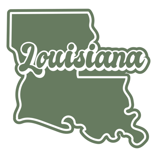
Louisiana retro cut out usa states PNG Design
Choose a folder
All favorites
Create new
Save
Louisiana retro cut out usa states PNG Design
Premium
Hawaii retro cut out usa states PNG Design
Choose a folder
All favorites
Create new
Save
Hawaii retro cut out usa states PNG Design
Premium
Kansas retro sunset states usa PNG Design
Choose a folder
All favorites
Create new
Save
Kansas retro sunset states usa PNG Design
Premium
Illionois state plain map PNG Design
Choose a folder
All favorites
Create new
Save
Illionois state plain map PNG Design
Premium
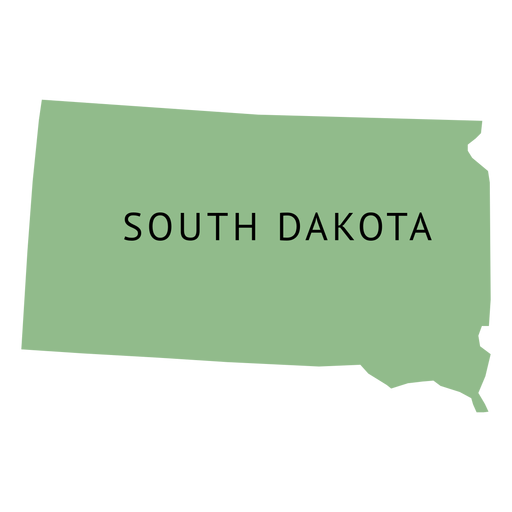
South dakota state plain map PNG Design
Choose a folder
All favorites
Create new
Save
South dakota state plain map PNG Design
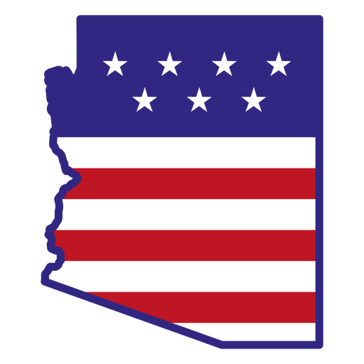
Arizona color stroke states PNG Design
Choose a folder
All favorites
Create new
Save
Arizona color stroke states PNG Design
Premium
Arizona retro cut out usa states PNG Design
Choose a folder
All favorites
Create new
Save
Arizona retro cut out usa states PNG Design
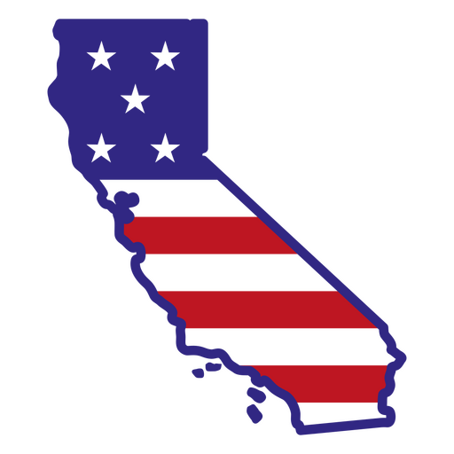
California color stroke states PNG Design
Choose a folder
All favorites
Create new
Save
California color stroke states PNG Design
Premium
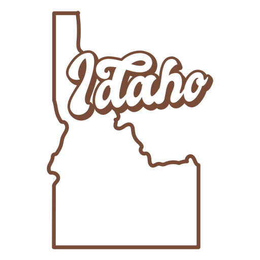
Idaho retro stroke usa states PNG Design
Choose a folder
All favorites
Create new
Save
Idaho retro stroke usa states PNG Design
Premium
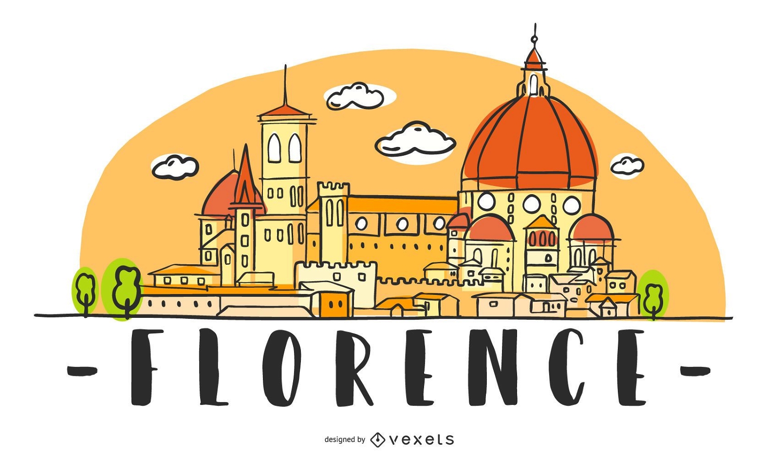
Florence Skyline Illustration
Choose a folder
All favorites
Create new
Save
Florence Skyline Illustration
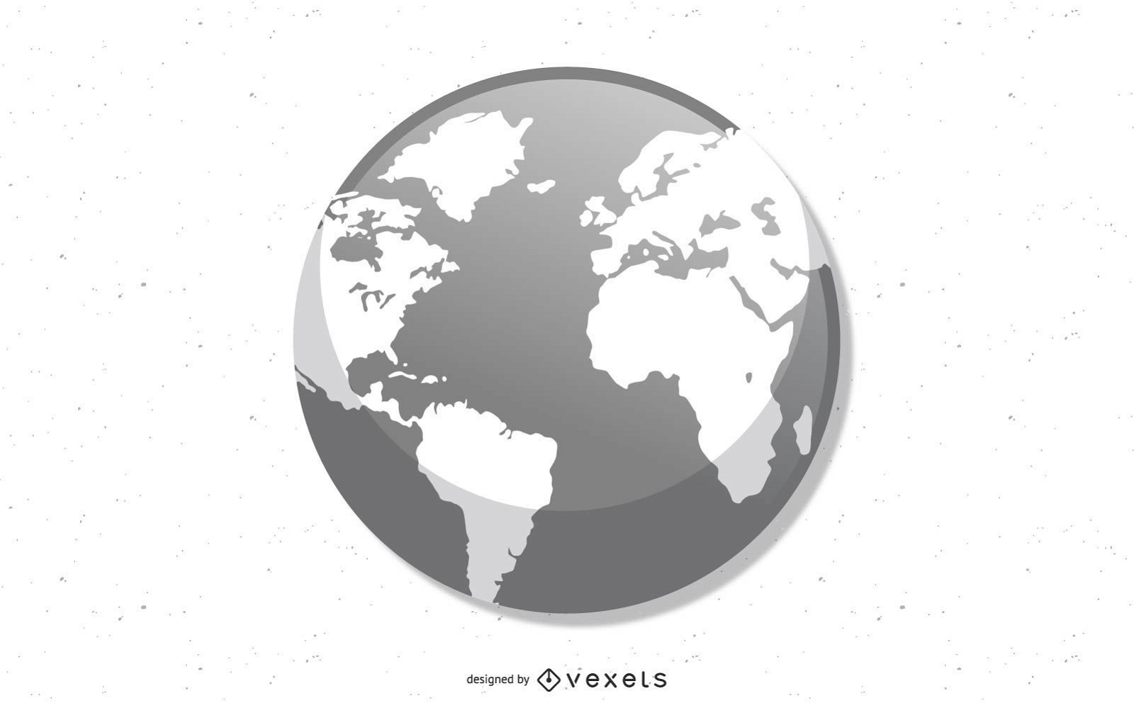
Earth globe illustration globe PNG Design
Choose a folder
All favorites
Create new
Save
Earth globe illustration globe PNG Design
Premium
The west virginia map with the words west virginia on it PNG Design
Choose a folder
All favorites
Create new
Save
The west virginia map with the words west virginia on it PNG Design
Premium
Indiana retro cut out usa states PNG Design
Choose a folder
All favorites
Create new
Save
Indiana retro cut out usa states PNG Design
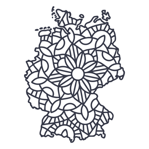
Germany map silhouette mandala stroke PNG Design
Choose a folder
All favorites
Create new
Save
Germany map silhouette mandala stroke PNG Design
Usa flag in country map flat PNG Design
Choose a folder
All favorites
Create new
Save
Usa flag in country map flat PNG Design
Boost Your Business
With The Leading Graphic Platform For Merch.
SEE PLANS
Next
of 16
prev page
next page