Design Library
Explore Designs
New Merch Designs
Trending Merch Designs
Vectors
PNGs & SVGs
Mockups
T-Shirts
T-Shirt PSD Templates
KDP Designs
Phone Cases
Pillows
Tote Bags
Posters
Mugs
Design Tools
Designer
New!
T-shirt Maker
Mockup Generator
Quote Generator
Logo Maker
Resources
Merch Digest
Blog
Help Center
Creators Program
Learn About Merch
Changelog
API Access
Pricing
Loading...
Sign Up
Login
Vectors
political
map
Design Library
Explore Designs
New Merch Designs
Trending Merch Designs
Vectors
PNGs & SVGs
Mockups
T-Shirts
T-Shirt PSD Templates
KDP Designs
Phone Cases
Pillows
Tote Bags
Posters
Mugs
Design Tools
Designer
New!
T-shirt Maker
Mockup Generator
Quote Generator
Logo Maker
Resources
Merch Digest
Blog
Help Center
Creators Program
Learn About Merch
Changelog
API Access
PLANS
Vectors
political
map
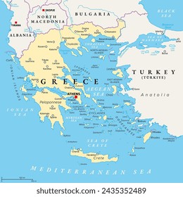
19 political map Vectors & Graphics to Download
Download political map editable vector graphics for every design project. In AI, SVG, PNG, JPG and PSD.
Sort by
Most relevant
Sponsored results by
Get 15% off with code: VEXELS15
Show more
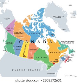
Australia Political Map Vector
Choose a folder
All favorites
Create new
Save
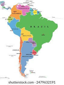
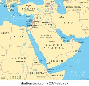
Australia Political Map Vector
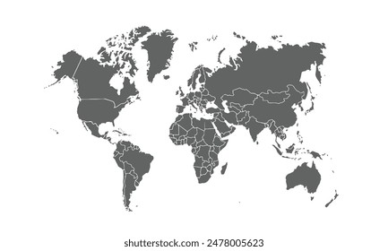
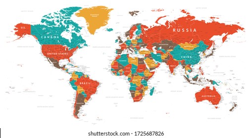
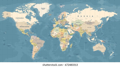
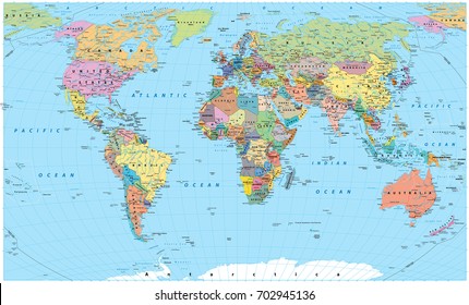
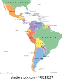
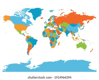
Political world map colored
Choose a folder
All favorites
Create new
Save
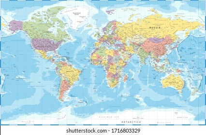
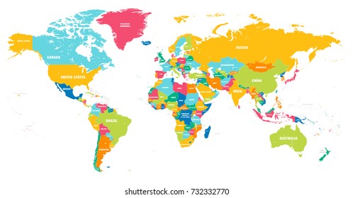
Political world map colored
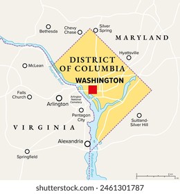
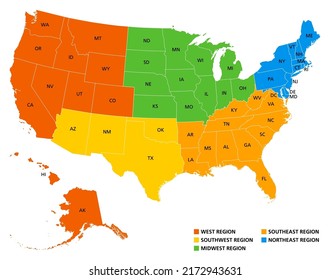
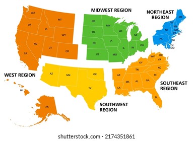
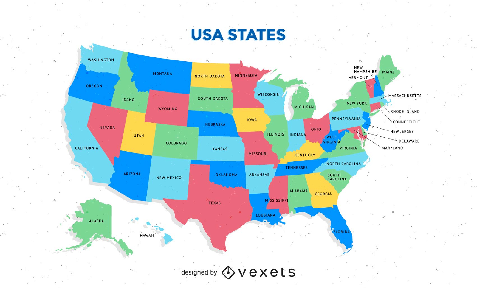
Free Colorful Usa Map With States Vector
Choose a folder
All favorites
Create new
Save
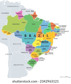
Free Colorful Usa Map With States Vector
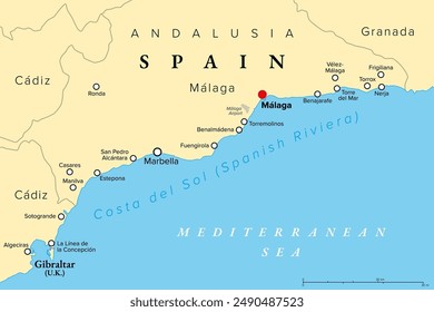
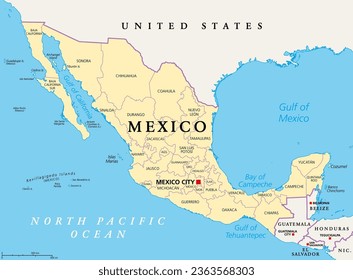
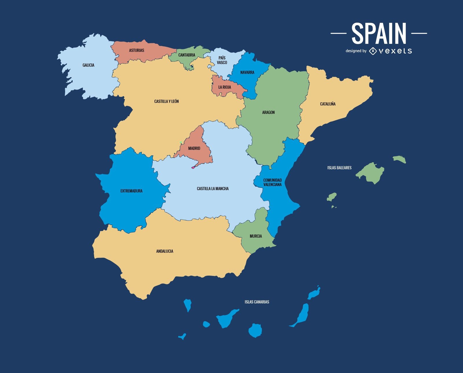
Political spain map
Choose a folder
All favorites
Create new
Save
Political spain map
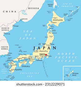
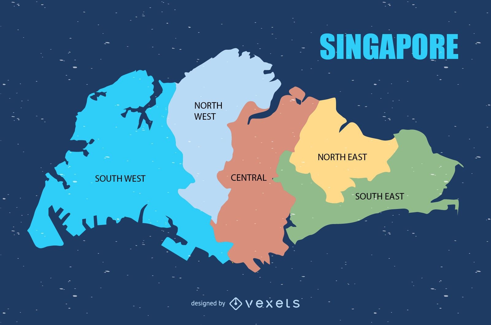
Colored Singapore map design
Choose a folder
All favorites
Create new
Save
Colored Singapore map design
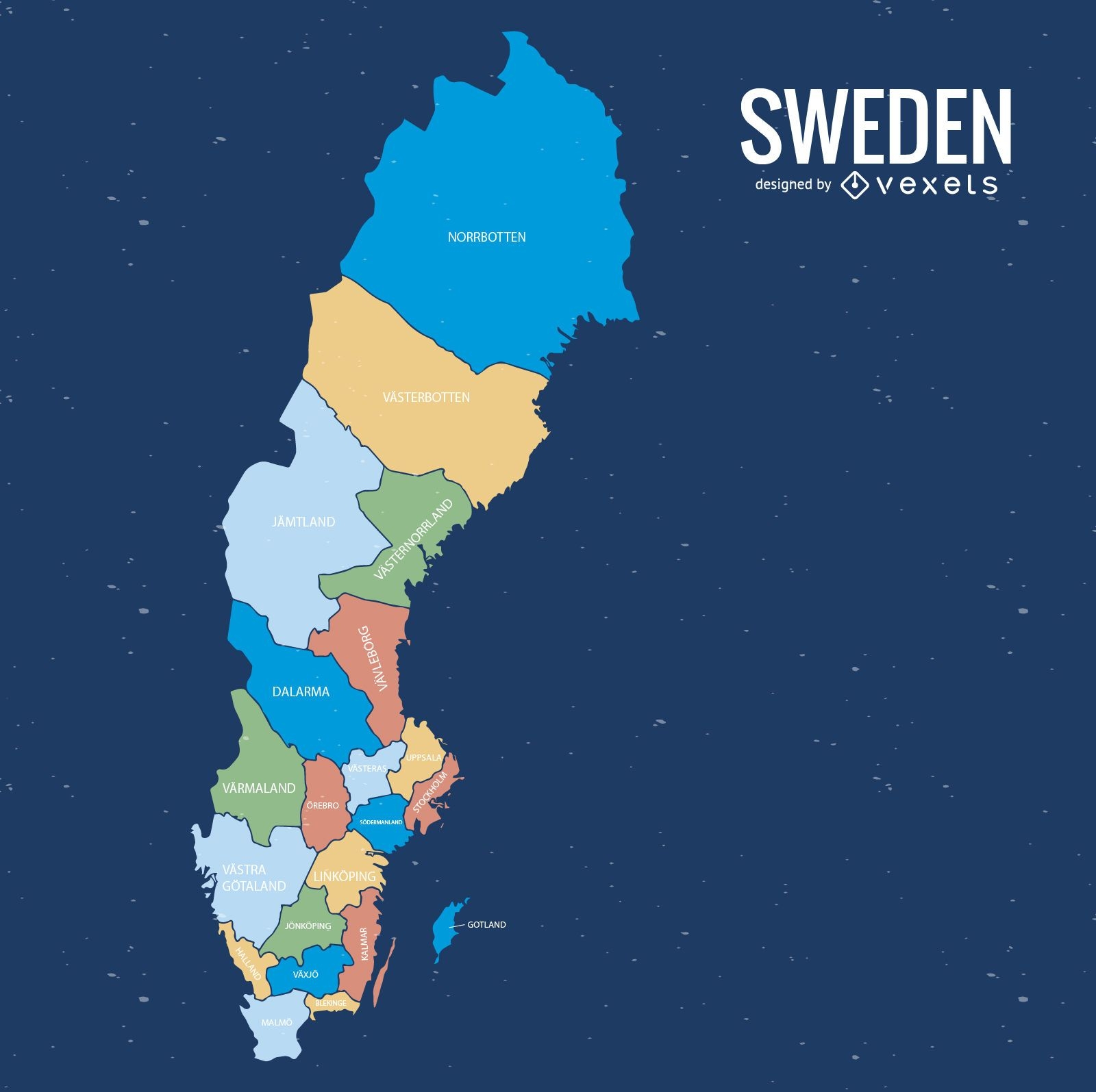
Sweden county map
Choose a folder
All favorites
Create new
Save
Sweden county map
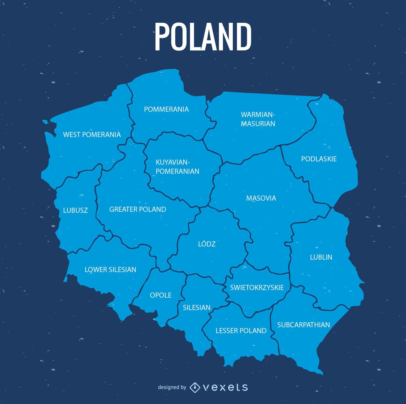
Poland province map
Choose a folder
All favorites
Create new
Save
Poland province map
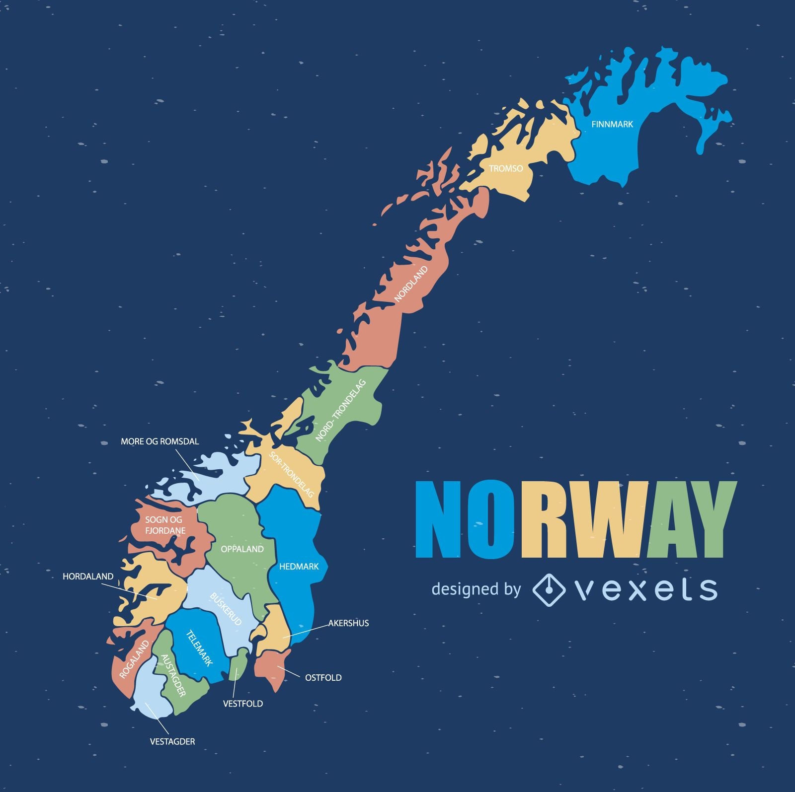
Norway administrative division map
Choose a folder
All favorites
Create new
Save
Norway administrative division map
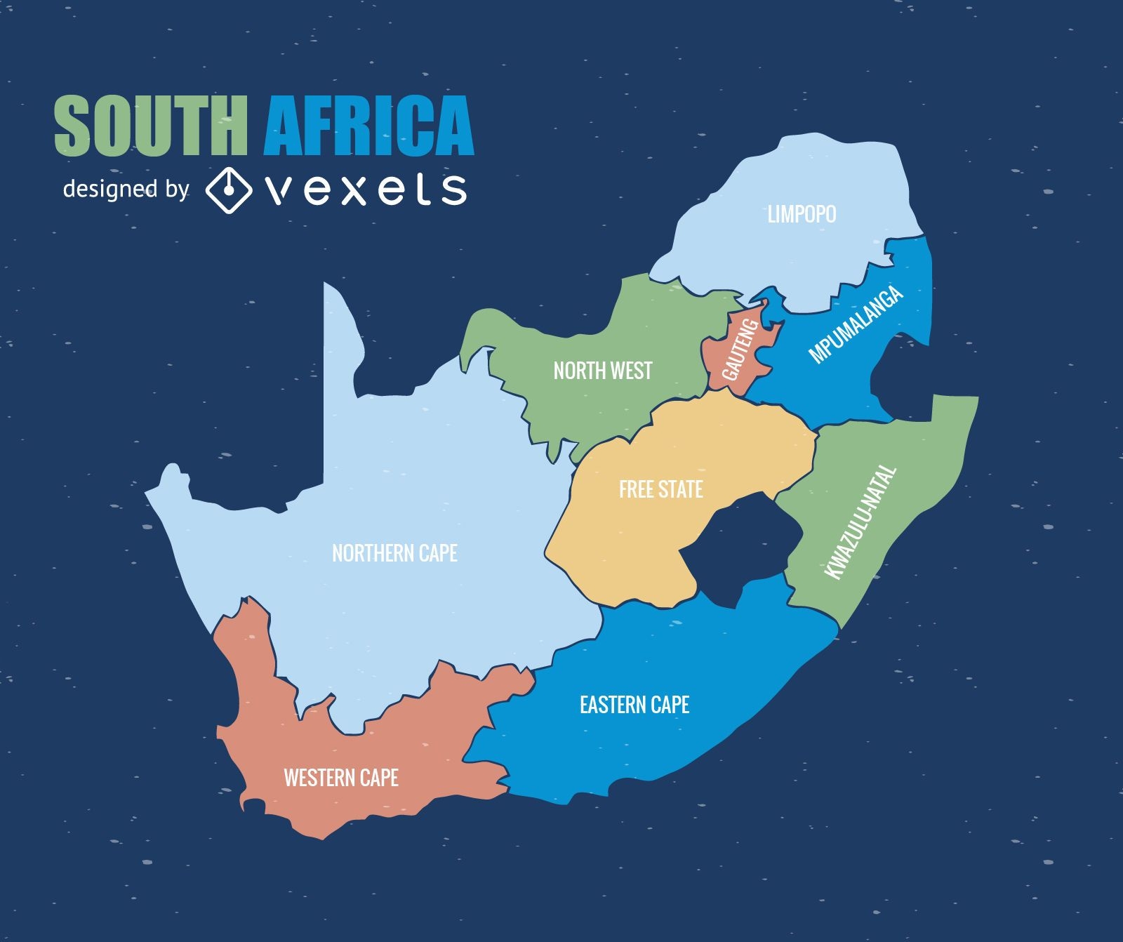
South Africa province map
Choose a folder
All favorites
Create new
Save
South Africa province map
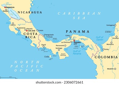
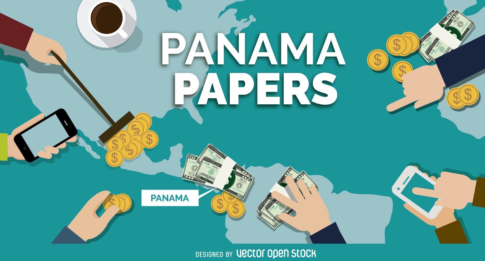
Panama Papers banner design
Choose a folder
All favorites
Create new
Save
Panama Papers banner design
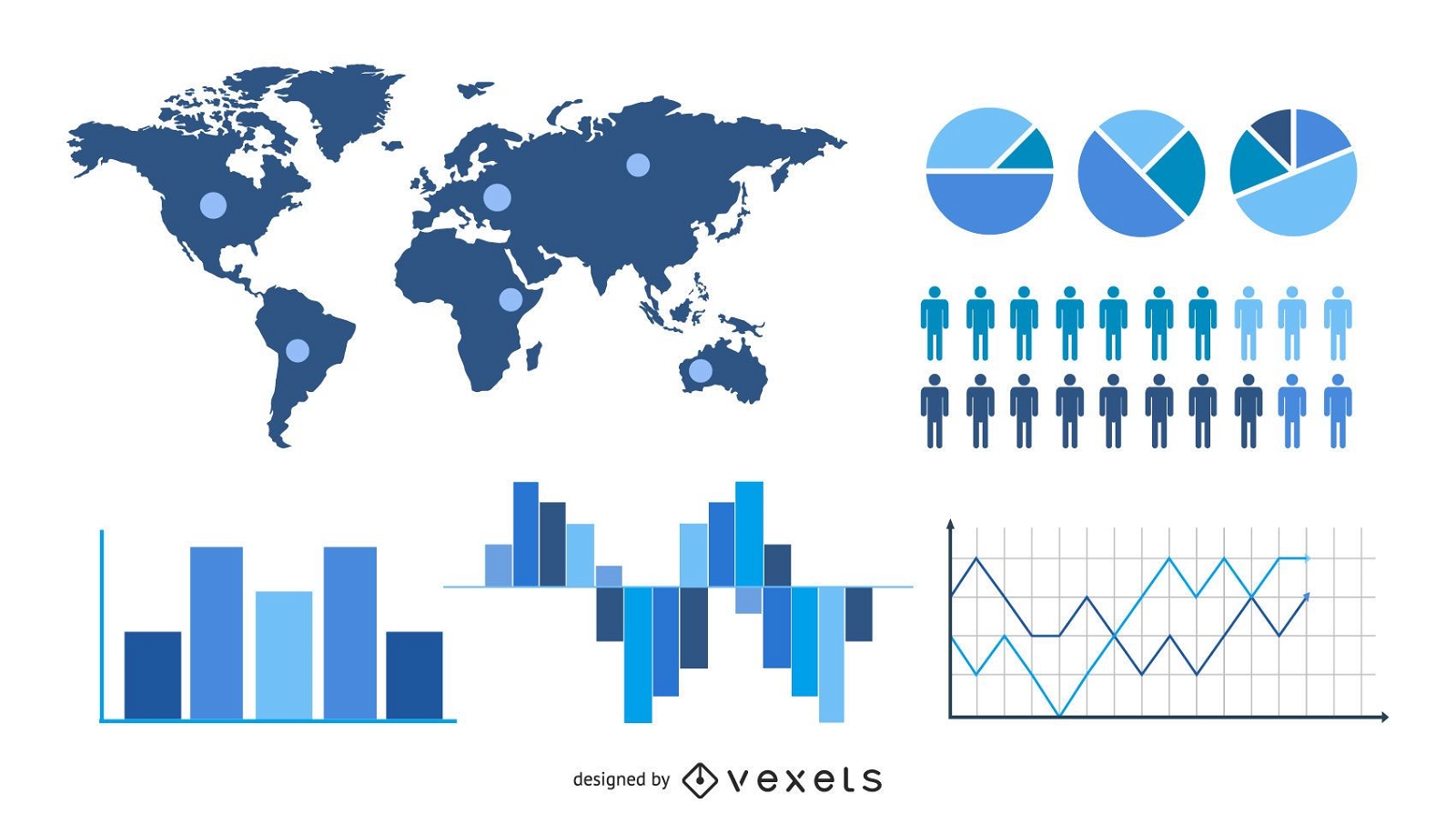
Statistic & Analytical Infographic Set
Choose a folder
All favorites
Create new
Save
Statistic & Analytical Infographic Set
US Republican elephant badge
Choose a folder
All favorites
Create new
Save
US Republican elephant badge
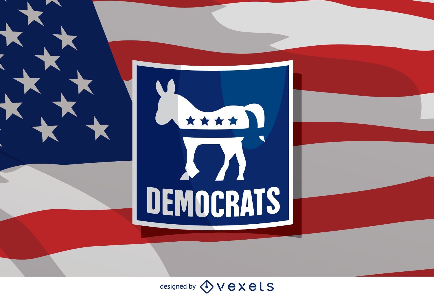
US election Democrat donkey
Choose a folder
All favorites
Create new
Save
US election Democrat donkey
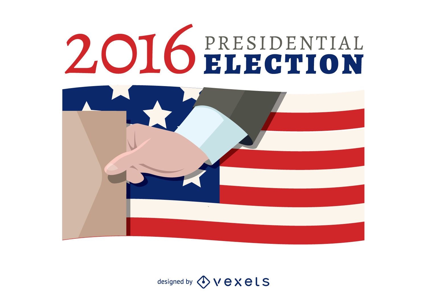
2016 election voting banner
Choose a folder
All favorites
Create new
Save
2016 election voting banner
Subscribe
To Get High-Quality Commercial Use Designs For Your Business
SEE PLANS
prev page
next page