Design Library
New Merch Designs
T-Shirts
Vectors
Trending Merch Designs
PNGs & SVGs
Mockups
T-Shirt PSD Templates
Explore Designs
KDP Designs
Posters
Mugs
Phone Cases
Tote Bags
Pillows
Design Tools
Merch Designer
New!
Mockup Generator
AI Design Generator
Image Vectorizer
Quote Generator
T-Shirt Maker (Old)
Resources
Merch Digest
Blog
Help Center
Learn About Merch
Feedback
Corporate Solutions
Enterprise
API Access
Design Studio
Bulk Design Production
Pricing
Loading...
Sign Up
Login
Vectors
map
vector
Design Library
New Merch Designs
T-Shirts
Vectors
Trending Merch Designs
PNGs & SVGs
Mockups
T-Shirt PSD Templates
Explore Designs
KDP Designs
Posters
Mugs
Phone Cases
Tote Bags
Pillows
Design Tools
Merch Designer
New!
Mockup Generator
AI Design Generator
Image Vectorizer
Quote Generator
T-Shirt Maker (Old)
Resources
Merch Digest
Blog
Help Center
Learn About Merch
Feedback
Corporate Solutions
Enterprise
API Access
Design Studio
Bulk Design Production
PLANS
Vectors
map
vector
278 map vector Vectors & Graphics to Download
Download map vector editable vector graphics for every design project. In AI, SVG, PNG, JPG and PSD.
Sort by
Most relevant
Sponsored results by
Get 15% off with code: VEXELS15
Show more
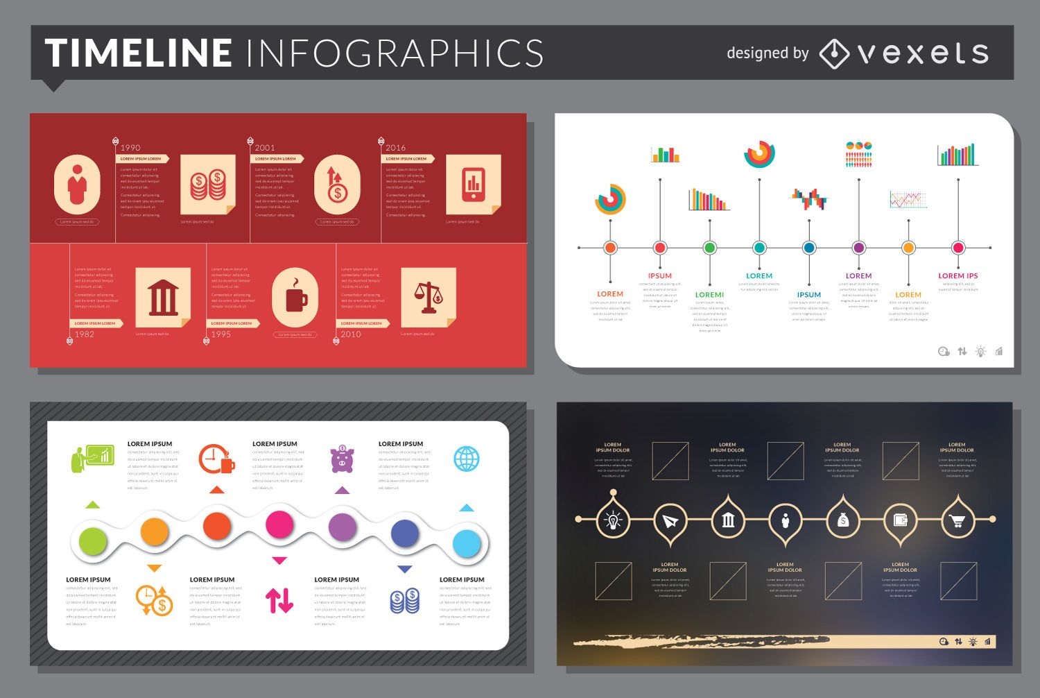
Timeline infographic template set
Choose a folder
All favorites
Create new
Save
Timeline infographic template set
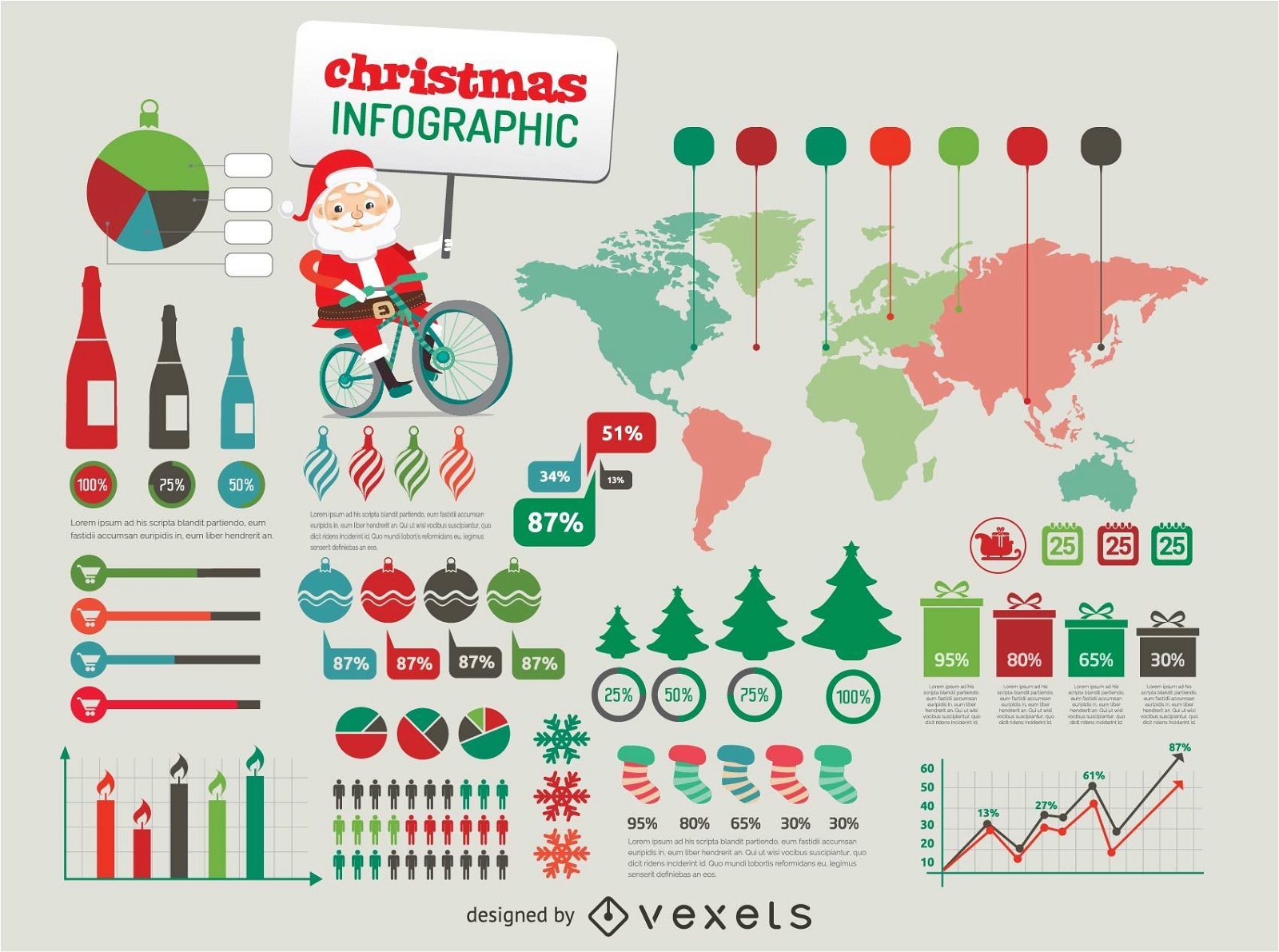
Christmas Infographic elements
Choose a folder
All favorites
Create new
Save
Christmas Infographic elements
Travel Icons colorful drop shadow
Choose a folder
All favorites
Create new
Save
Travel Icons colorful drop shadow
Social infographics Elements
Choose a folder
All favorites
Create new
Save
Social infographics Elements
Flat travel background with text
Choose a folder
All favorites
Create new
Save
Flat travel background with text
Businessman with a worldmap Background
Choose a folder
All favorites
Create new
Save
Businessman with a worldmap Background
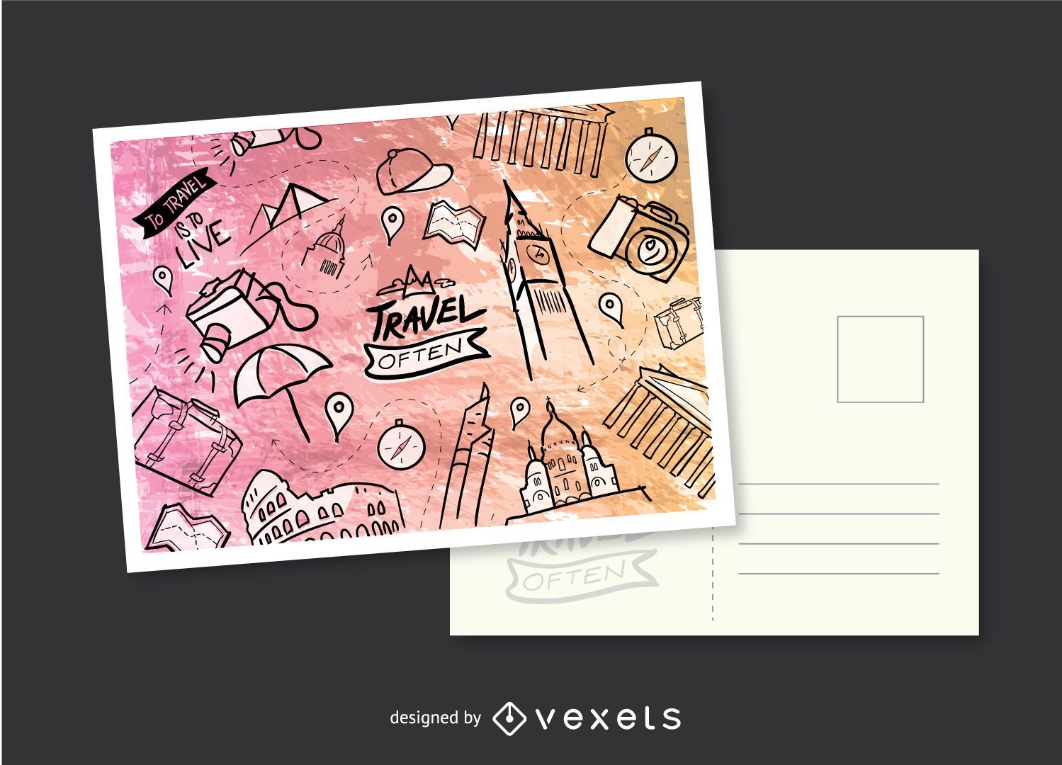
Travel Hand-drawn postcard
Choose a folder
All favorites
Create new
Save
Travel Hand-drawn postcard
Outlined Web Designing Icons Pack
Choose a folder
All favorites
Create new
Save
Outlined Web Designing Icons Pack
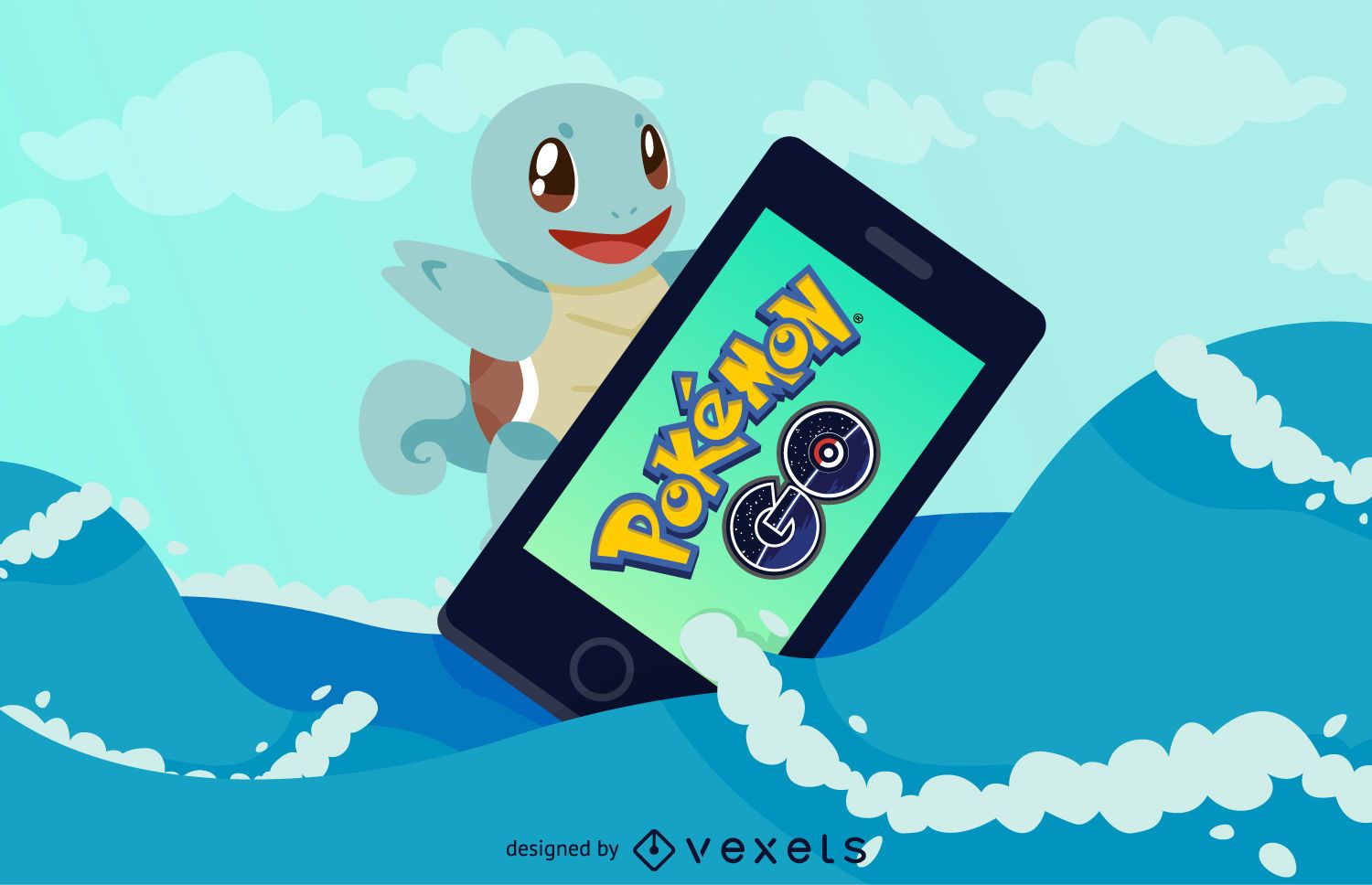
Pokémon GO Squirtle illustration
Choose a folder
All favorites
Create new
Save
Pokémon GO Squirtle illustration
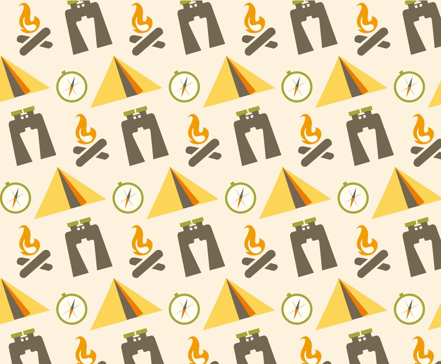
Flat camping pattern
Choose a folder
All favorites
Create new
Save
Flat camping pattern
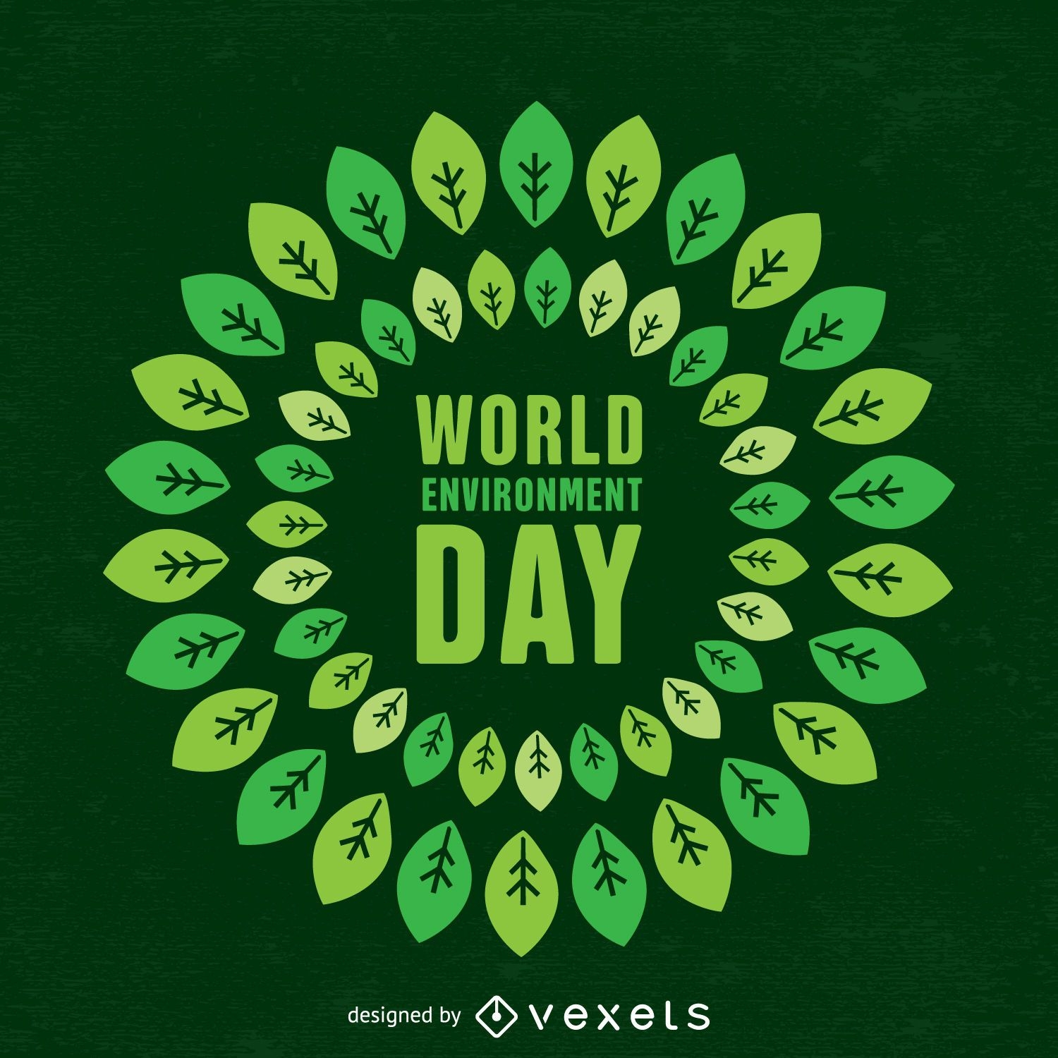
World environment day design
Choose a folder
All favorites
Create new
Save
World environment day design
Social icons set in bright colors
Choose a folder
All favorites
Create new
Save
Social icons set in bright colors
Collection of thin line social media icons
Choose a folder
All favorites
Create new
Save
Collection of thin line social media icons
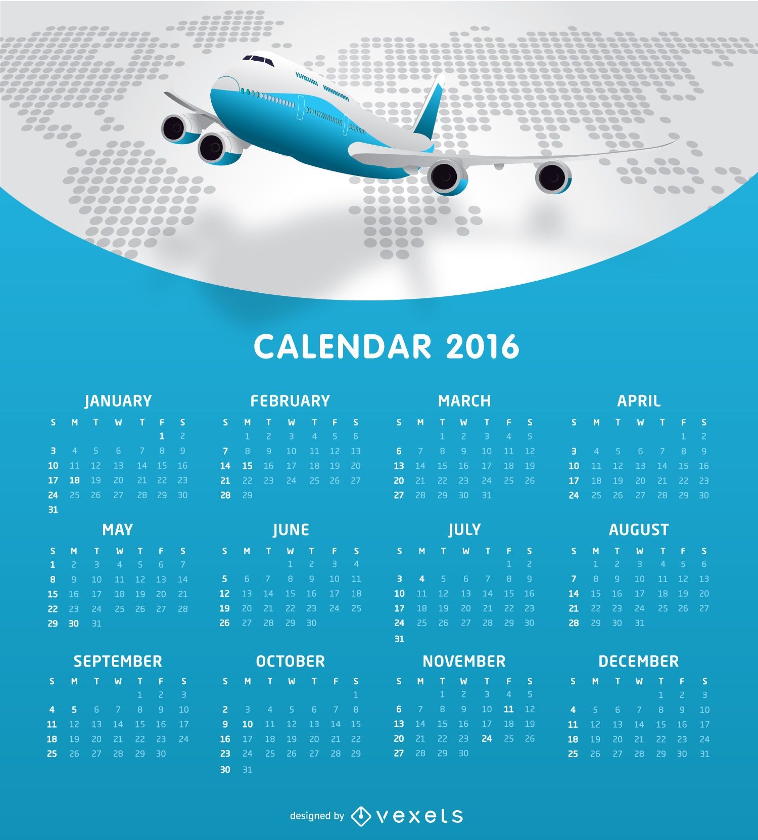
Airlines 2016 calendar tempalte
Choose a folder
All favorites
Create new
Save
Airlines 2016 calendar tempalte
140 thin line social media icons collection
Choose a folder
All favorites
Create new
Save
140 thin line social media icons collection
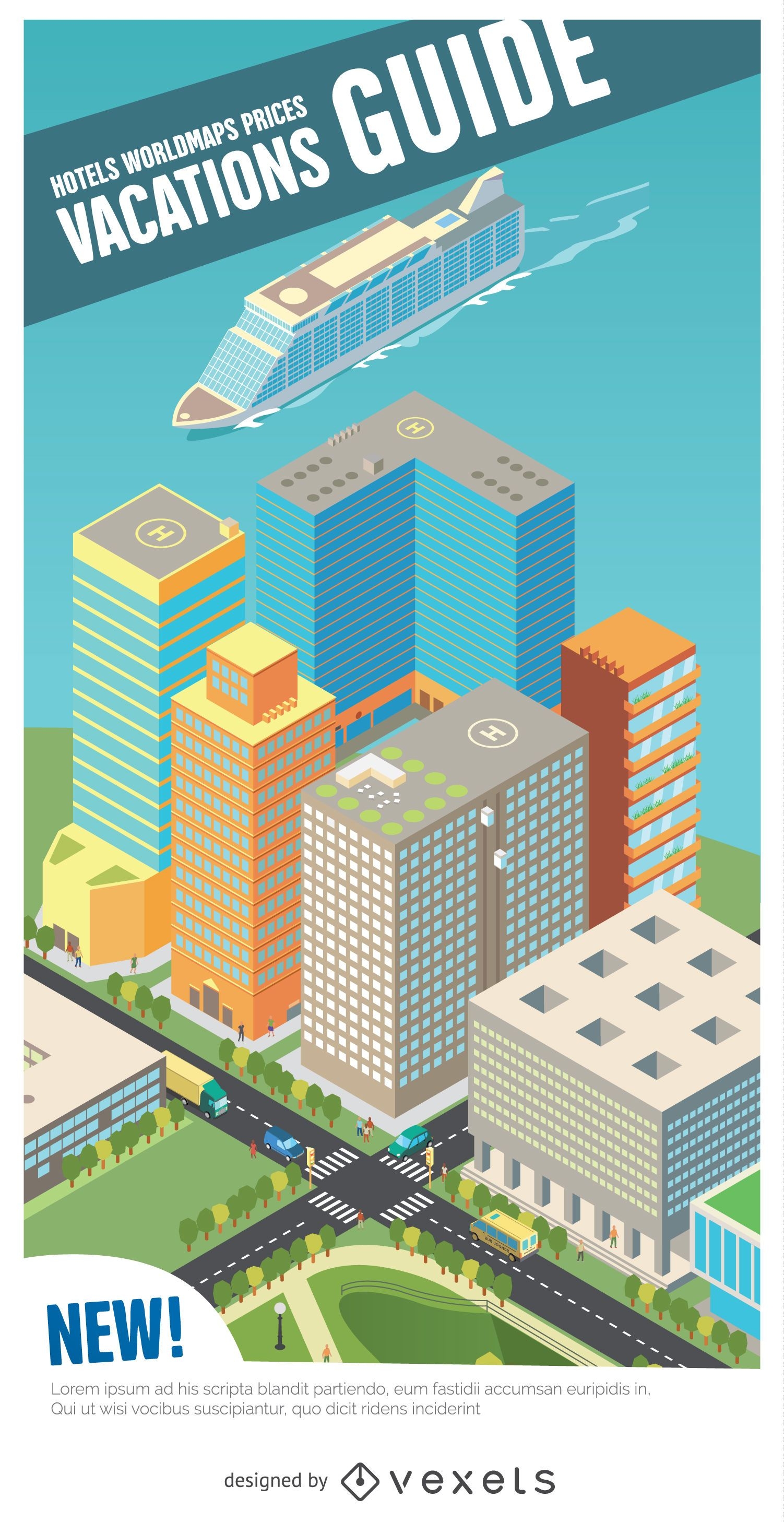
Vactations guide isometric harbour
Choose a folder
All favorites
Create new
Save
Vactations guide isometric harbour
Editable text
Premium
Globe logistics logo template
Choose a folder
All favorites
Create new
Save
Globe logistics logo template
US Republican elephant badge
Choose a folder
All favorites
Create new
Save
US Republican elephant badge
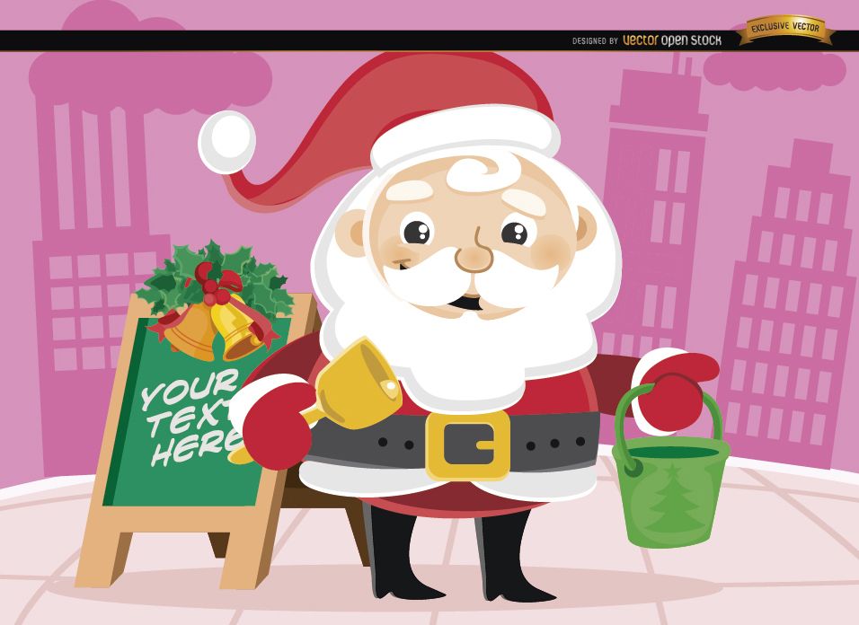
Santa Claus Christmas bucket in street
Choose a folder
All favorites
Create new
Save
Santa Claus Christmas bucket in street
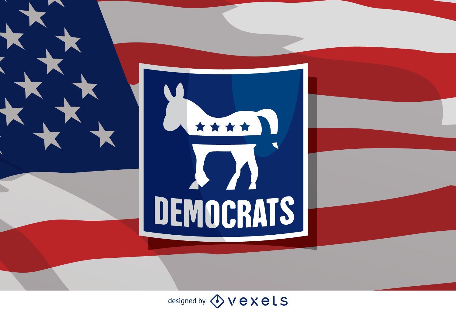
US election Democrat donkey
Choose a folder
All favorites
Create new
Save
US election Democrat donkey
2016 election voting banner
Choose a folder
All favorites
Create new
Save
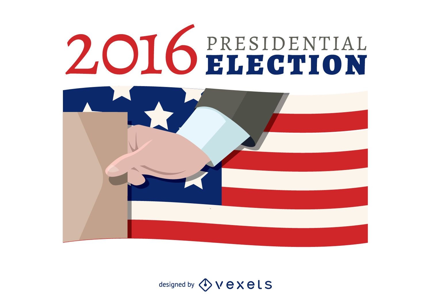
2016 election voting banner
Rio 2016 advertising
Choose a folder
All favorites
Create new
Save
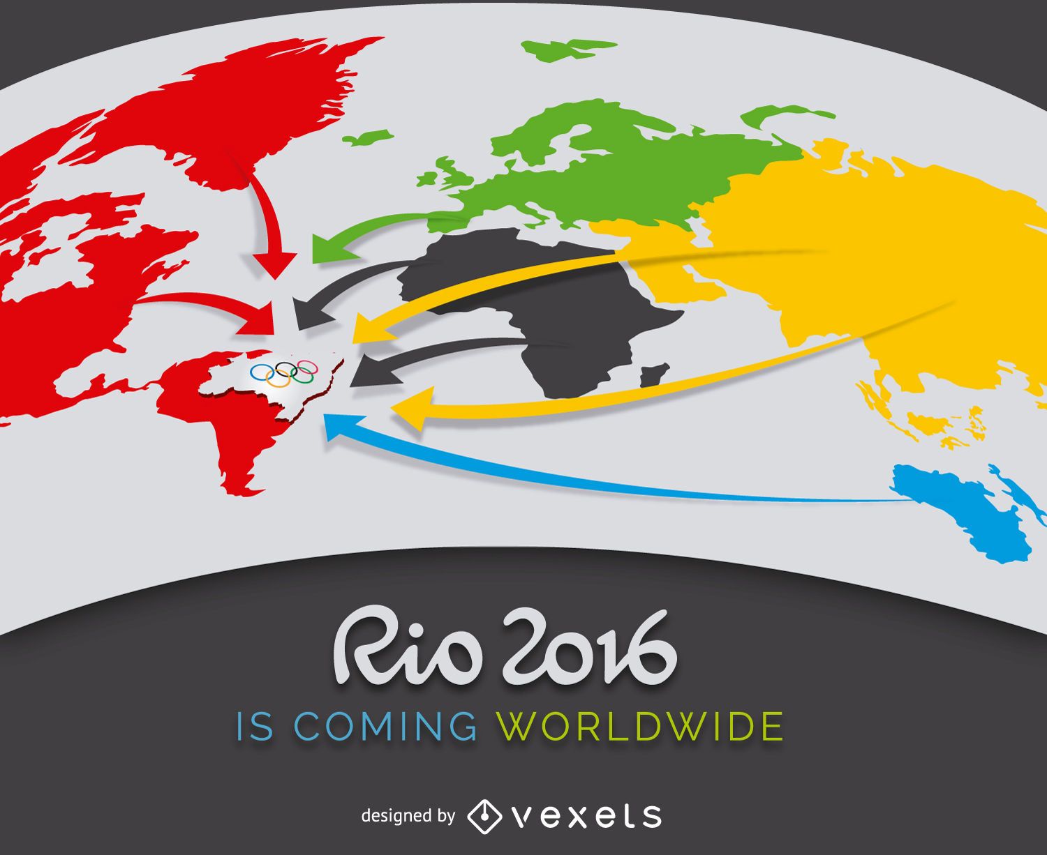
Rio 2016 advertising
Pork Beef Parts Of The Decomposition Map Vector
Choose a folder
All favorites
Create new
Save
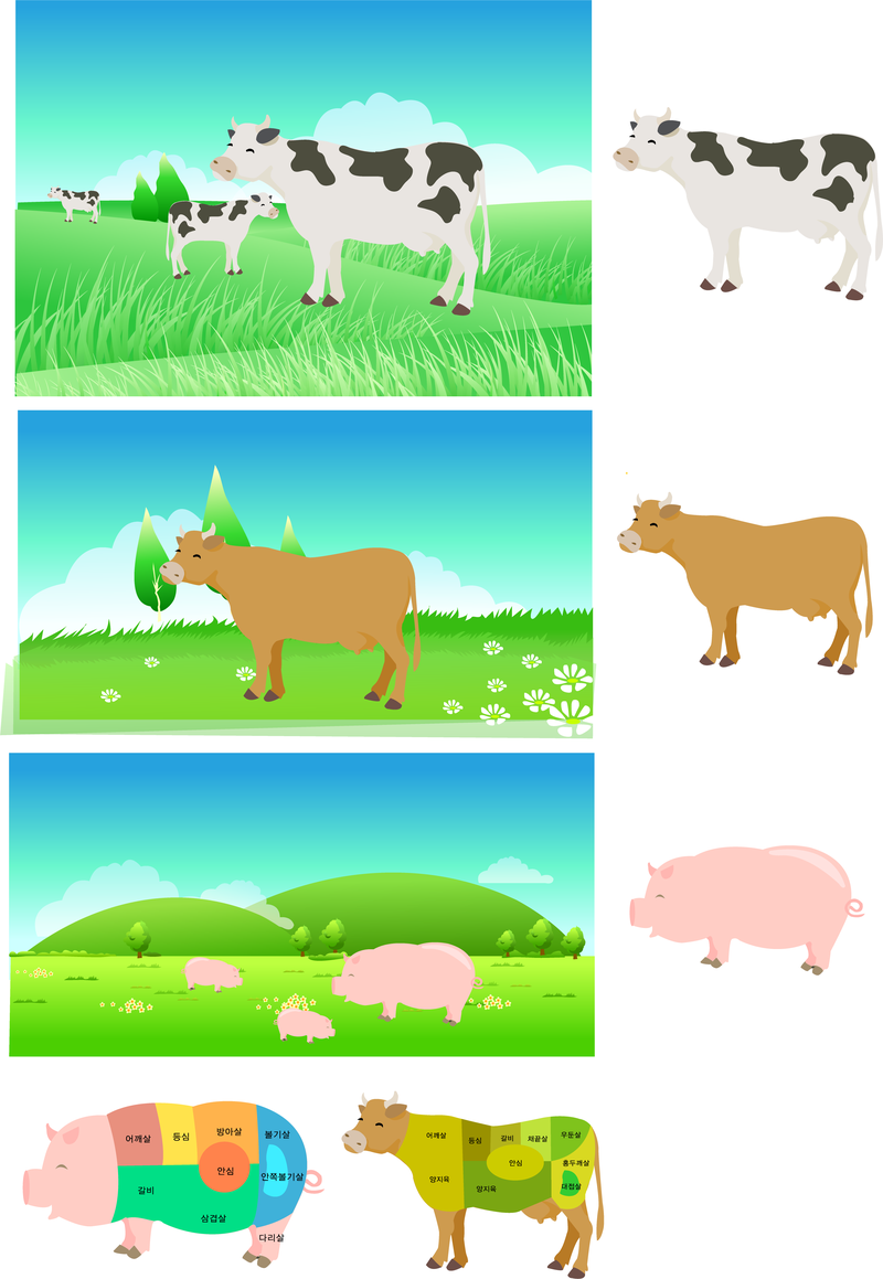
Pork Beef Parts Of The Decomposition Map Vector
Print ready
for Merch
USA lettering tshirt design
Choose a folder
All favorites
Create new
Save
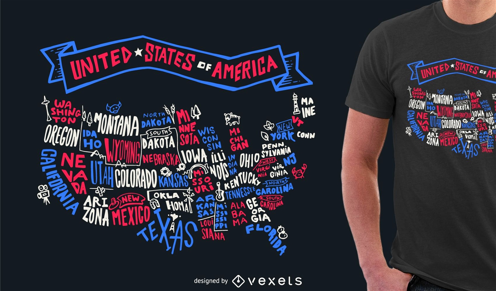
USA lettering tshirt design
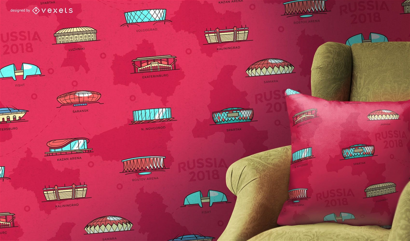
Russia 2018 stadiums pattern
Choose a folder
All favorites
Create new
Save
Russia 2018 stadiums pattern
for Merch
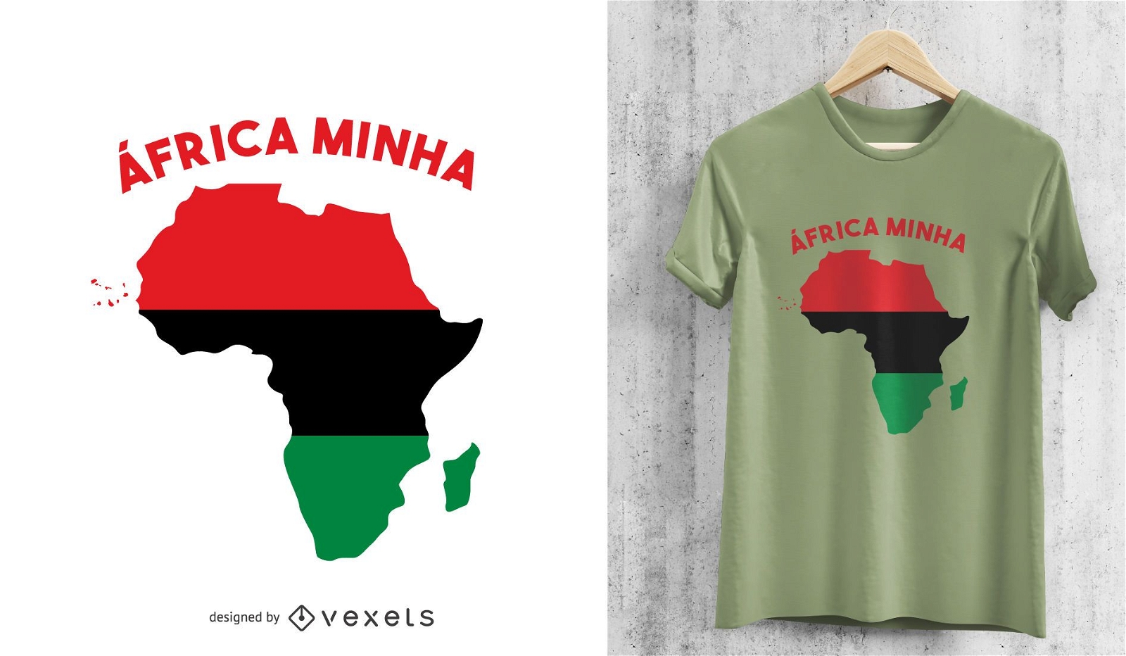
Africa Minha Pan-African Motif T-shirt Design
Choose a folder
All favorites
Create new
Save
Africa Minha Pan-African Motif T-shirt Design
Painting Part Of The Chen Changshou Edition
Choose a folder
All favorites
Create new
Save
Painting Part Of The Chen Changshou Edition
Abstract And Colourful
Choose a folder
All favorites
Create new
Save
Abstract And Colourful
Subscribe
To Get High-Quality Commercial Use Designs For Your Business
SEE PLANS
of 6
prev page
next page