Mexico Map Vector Design
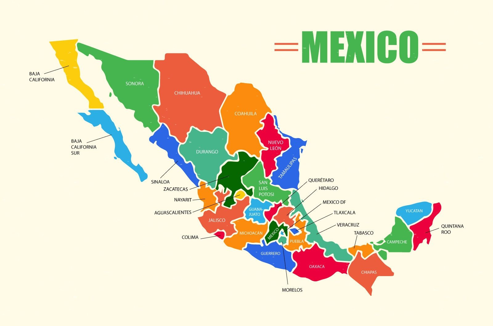
Illustrated map of Mexico with its different regions and cities labeled and sorted in different colors. Works great on educational materials or any travel specific designs.
01/01/2016
Adobe Illustrator
Sponsored results by
Get 15% off with code: VEXELS15