Design Library
New Merch Designs
T-Shirts
Vectors
Trending Merch Designs
PNGs & SVGs
Mockups
T-Shirt PSD Templates
Explore Designs
KDP Designs
Posters
Mugs
Phone Cases
Tote Bags
Pillows
Design Tools
Merch Designer
New!
Mockup Generator
AI Design Generator
Image Vectorizer
Quote Generator
T-Shirt Maker (Old)
Resources
Merch Digest
Blog
Help Center
Learn About Merch
Feedback
Corporate Solutions
Enterprise
API Access
Design Studio
Bulk Design Production
Pricing
Loading...
Sign Up
Login
PNG
maps
Design Library
New Merch Designs
T-Shirts
Vectors
Trending Merch Designs
PNGs & SVGs
Mockups
T-Shirt PSD Templates
Explore Designs
KDP Designs
Posters
Mugs
Phone Cases
Tote Bags
Pillows
Design Tools
Merch Designer
New!
Mockup Generator
AI Design Generator
Image Vectorizer
Quote Generator
T-Shirt Maker (Old)
Resources
Merch Digest
Blog
Help Center
Learn About Merch
Feedback
Corporate Solutions
Enterprise
API Access
Design Studio
Bulk Design Production
PLANS
PNG
maps
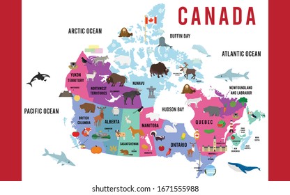
4890 maps PNG and SVG Editable Vectors
Download editable maps PNG and SVG Vectors with transparent background.
Related:
world maps
,
base maps
,
world livestock maps
Sort by
Most relevant
Sponsored results by
Get 15% off with code: VEXELS15
Show more
Moon and star stroke icon PNG Design
Choose a folder
All favorites
Create new
Save
Moon and star stroke icon PNG Design
House roof flat PNG Design
Choose a folder
All favorites
Create new
Save
House roof flat PNG Design
Opened bible color stroke PNG Design
Choose a folder
All favorites
Create new
Save
Opened bible color stroke PNG Design
Paraguay armadillo stroke PNG Design
Choose a folder
All favorites
Create new
Save
Paraguay armadillo stroke PNG Design
Cuba traditional hat imagery flat PNG Design
Choose a folder
All favorites
Create new
Save
Cuba traditional hat imagery flat PNG Design
Flag cuba nationalism flat design PNG Design
Choose a folder
All favorites
Create new
Save
Flag cuba nationalism flat design PNG Design
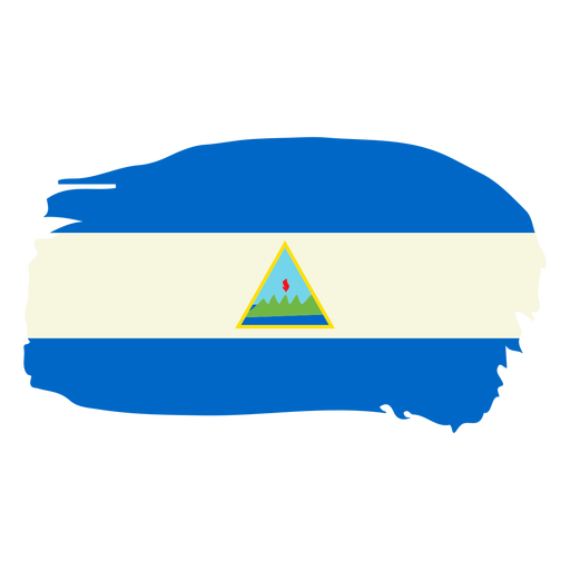
Nicaragua brushy flag design PNG Design
Choose a folder
All favorites
Create new
Save
Nicaragua brushy flag design PNG Design
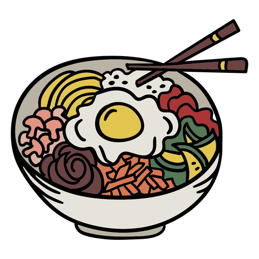
Korean bibimbap element PNG Design
Choose a folder
All favorites
Create new
Save
Korean bibimbap element PNG Design
Large planetary globe PNG Design
Choose a folder
All favorites
Create new
Save
Large planetary globe PNG Design
Premium
Map location colorful icon stroke PNG Design
Choose a folder
All favorites
Create new
Save
Map location colorful icon stroke PNG Design
Growing seed icon stroke PNG Design
Choose a folder
All favorites
Create new
Save
Growing seed icon stroke PNG Design
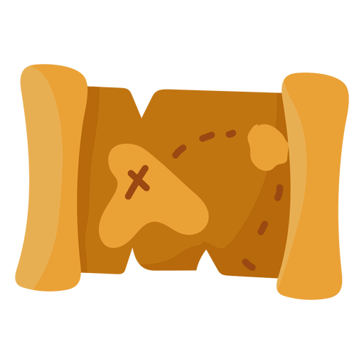
Treasure map illustration flat PNG Design
Choose a folder
All favorites
Create new
Save
Treasure map illustration flat PNG Design
Happy canada day maple leaf sticker badge PNG Design
Choose a folder
All favorites
Create new
Save
Happy canada day maple leaf sticker badge PNG Design
Premium
Planet earth globe asia australia silhouette PNG Design
Choose a folder
All favorites
Create new
Save
Planet earth globe asia australia silhouette PNG Design
Premium
Planet earth illness sickness sadness melancholy thermometer flat PNG Design
Choose a folder
All favorites
Create new
Save
Planet earth illness sickness sadness melancholy thermometer flat PNG Design
Globe logo lines PNG Design
Choose a folder
All favorites
Create new
Save
Globe logo lines PNG Design
Premium
Blackberry 8700.svg PNG Design
Choose a folder
All favorites
Create new
Save
Blackberry 8700.svg PNG Design
Premium
Green globe icon PNG Design
Choose a folder
All favorites
Create new
Save
Green globe icon PNG Design
Premium
British antarctic territory national flag PNG Design
Choose a folder
All favorites
Create new
Save
British antarctic territory national flag PNG Design
Premium
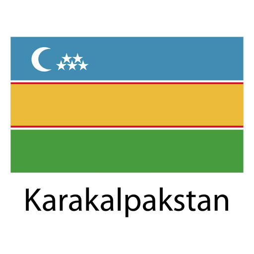
Karakalpakstan national flag PNG Design
Choose a folder
All favorites
Create new
Save
Karakalpakstan national flag PNG Design
Premium
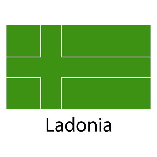
Ladonia national flag PNG Design
Choose a folder
All favorites
Create new
Save
Ladonia national flag PNG Design
Premium
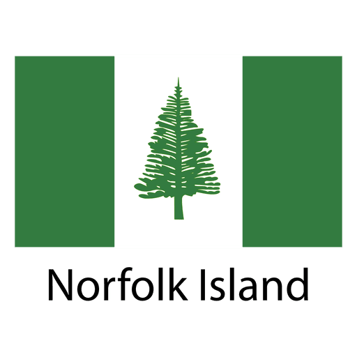
Norfolk island national flag PNG Design
Choose a folder
All favorites
Create new
Save
Norfolk island national flag PNG Design
Santa checking map cartoon PNG Design
Choose a folder
All favorites
Create new
Save
Santa checking map cartoon PNG Design
Premium
Today feels lucky casino badge PNG Design
Choose a folder
All favorites
Create new
Save
Today feels lucky casino badge PNG Design
Premium
The state of tennessee is shown PNG Design
Choose a folder
All favorites
Create new
Save
The state of tennessee is shown PNG Design
Premium
Rhode island green map outline PNG Design
Choose a folder
All favorites
Create new
Save
Rhode island green map outline PNG Design
Premium
Brown book with the word recipe on it PNG Design
Choose a folder
All favorites
Create new
Save
Brown book with the word recipe on it PNG Design
Premium
Rise up and pray Christian quote PNG Design
Choose a folder
All favorites
Create new
Save
Rise up and pray Christian quote PNG Design
Premium
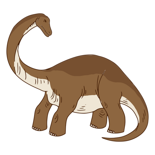
Cartoon dinosaur standing PNG Design
Choose a folder
All favorites
Create new
Save
Cartoon dinosaur standing PNG Design
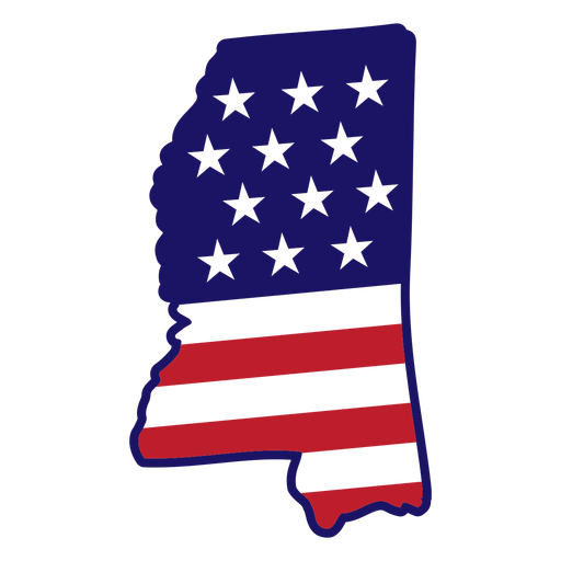
Mississippi map color stroke PNG Design
Choose a folder
All favorites
Create new
Save
Mississippi map color stroke PNG Design
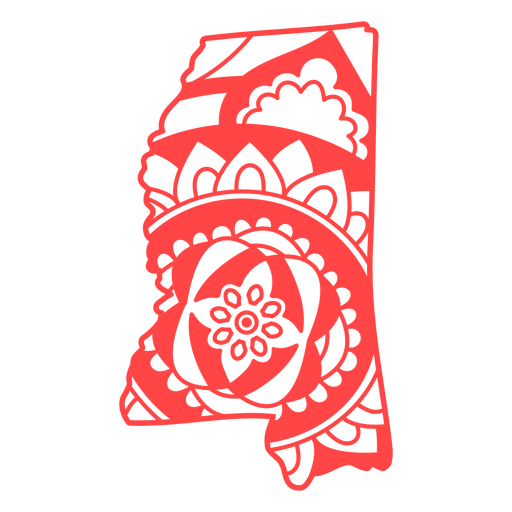
Mississippi state mandala map stroke PNG Design
Choose a folder
All favorites
Create new
Save
Mississippi state mandala map stroke PNG Design
Universe book semi flat PNG Design
Choose a folder
All favorites
Create new
Save
Universe book semi flat PNG Design
Organic teacup design filled stroke PNG Design
Choose a folder
All favorites
Create new
Save
Organic teacup design filled stroke PNG Design
Blue and red stars cute PNG Design
Choose a folder
All favorites
Create new
Save
Blue and red stars cute PNG Design
Set of color pencils flat PNG Design
Choose a folder
All favorites
Create new
Save
Set of color pencils flat PNG Design
Family camping trip label filled stroke PNG Design
Choose a folder
All favorites
Create new
Save
Family camping trip label filled stroke PNG Design
Hand rake filled stroke PNG Design
Choose a folder
All favorites
Create new
Save
Hand rake filled stroke PNG Design
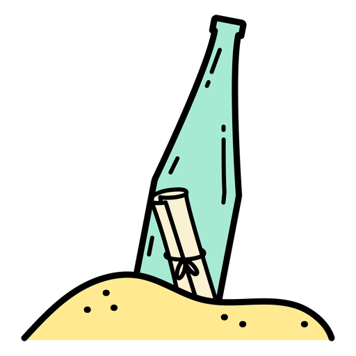
Note in a bottle color stroke PNG Design
Choose a folder
All favorites
Create new
Save
Note in a bottle color stroke PNG Design
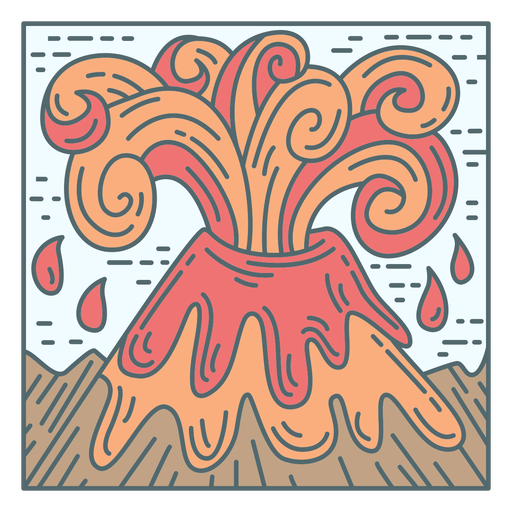
Volcano eruption tile PNG Design
Choose a folder
All favorites
Create new
Save
Volcano eruption tile PNG Design
Ornamental sun badge argentina PNG Design
Choose a folder
All favorites
Create new
Save
Ornamental sun badge argentina PNG Design
Encircled maple leaf flat PNG Design
Choose a folder
All favorites
Create new
Save
Encircled maple leaf flat PNG Design
Road stroke icon PNG Design
Choose a folder
All favorites
Create new
Save
Road stroke icon PNG Design
Diwali lettering brighten up your life PNG Design
Choose a folder
All favorites
Create new
Save
Diwali lettering brighten up your life PNG Design
Premium
Artichoke vegetable flat PNG Design
Choose a folder
All favorites
Create new
Save
Artichoke vegetable flat PNG Design
Premium
Colorful space letter e flat PNG Design
Choose a folder
All favorites
Create new
Save
Colorful space letter e flat PNG Design
Premium
Sheriff badge icon PNG Design
Choose a folder
All favorites
Create new
Save
Sheriff badge icon PNG Design
Premium
Checkbox option on computer screen icon PNG Design
Choose a folder
All favorites
Create new
Save
Checkbox option on computer screen icon PNG Design
Premium
Geography globe stroke school icon PNG Design
Choose a folder
All favorites
Create new
Save
Geography globe stroke school icon PNG Design
Premium
Planetary rover icon PNG Design
Choose a folder
All favorites
Create new
Save
Planetary rover icon PNG Design
Premium
Portugal heart flag heart flag PNG Design
Choose a folder
All favorites
Create new
Save
Portugal heart flag heart flag PNG Design
Subscribe
To Get High-Quality Commercial Use Designs For Your Business
SEE PLANS
Next
of 98
prev page
next page