Design Library
New Merch Designs
T-Shirts
Vectors
Trending Merch Designs
PNGs & SVGs
Mockups
T-Shirt PSD Templates
Explore Designs
KDP Designs
Posters
Mugs
Phone Cases
Tote Bags
Pillows
Design Tools
Merch Designer
New!
Mockup Generator
AI Design Generator
Image Vectorizer
Quote Generator
T-Shirt Maker (Old)
Resources
Merch Digest
Blog
Help Center
Learn About Merch
Feedback
Corporate Solutions
Enterprise
API Access
Design Studio
Bulk Design Production
Pricing
Loading...
Sign Up
Login
PNG
maps
Design Library
New Merch Designs
T-Shirts
Vectors
Trending Merch Designs
PNGs & SVGs
Mockups
T-Shirt PSD Templates
Explore Designs
KDP Designs
Posters
Mugs
Phone Cases
Tote Bags
Pillows
Design Tools
Merch Designer
New!
Mockup Generator
AI Design Generator
Image Vectorizer
Quote Generator
T-Shirt Maker (Old)
Resources
Merch Digest
Blog
Help Center
Learn About Merch
Feedback
Corporate Solutions
Enterprise
API Access
Design Studio
Bulk Design Production
PLANS
PNG
maps
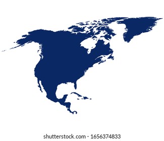
4890 maps PNG and SVG Editable Vectors
Download editable maps PNG and SVG Vectors with transparent background.
Related:
world maps
,
base maps
,
world livestock maps
Sort by
Most relevant
Sponsored results by
Get 15% off with code: VEXELS15
Show more
Premium
Jellyfish ocean aquatic animal PNG Design
Choose a folder
All favorites
Create new
Save
Jellyfish ocean aquatic animal PNG Design
Premium
Woman reading on chair PNG Design
Choose a folder
All favorites
Create new
Save
Woman reading on chair PNG Design
Premium
Cupcake sweet pastel food PNG Design
Choose a folder
All favorites
Create new
Save
Cupcake sweet pastel food PNG Design
Premium
Marshall islands national flag PNG Design
Choose a folder
All favorites
Create new
Save
Marshall islands national flag PNG Design
Premium
Saint kitts and nevis national flag PNG Design
Choose a folder
All favorites
Create new
Save
Saint kitts and nevis national flag PNG Design
Premium
Hand drawn atom icon PNG Design
Choose a folder
All favorites
Create new
Save
Hand drawn atom icon PNG Design
Vermont color stroke states PNG Design
Choose a folder
All favorites
Create new
Save
Vermont color stroke states PNG Design
Barn flat PNG Design
Choose a folder
All favorites
Create new
Save
Barn flat PNG Design
Happy brain stroke PNG Design
Choose a folder
All favorites
Create new
Save
Happy brain stroke PNG Design
Flat wood screw cut out PNG Design
Choose a folder
All favorites
Create new
Save
Flat wood screw cut out PNG Design
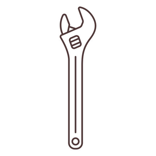
Adjustable metal wrench stroke PNG Design
Choose a folder
All favorites
Create new
Save
Adjustable metal wrench stroke PNG Design
Broadsword filled stroke PNG Design
Choose a folder
All favorites
Create new
Save
Broadsword filled stroke PNG Design
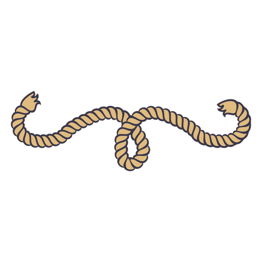
Twisted rope knot color stroke PNG Design
Choose a folder
All favorites
Create new
Save
Twisted rope knot color stroke PNG Design
Circular rope knot color stroke PNG Design
Choose a folder
All favorites
Create new
Save
Circular rope knot color stroke PNG Design
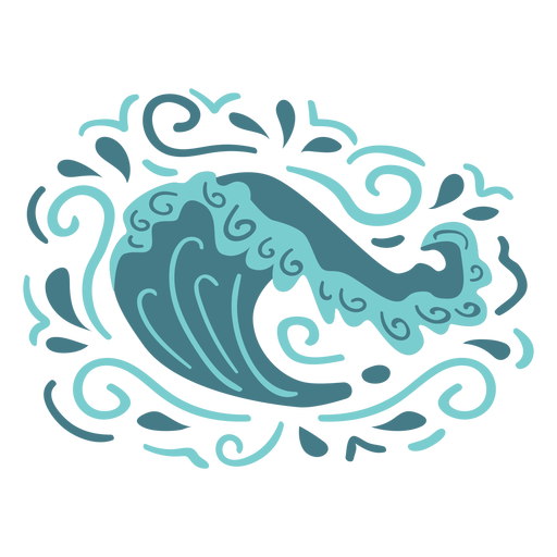
Organic wave pattern flat PNG Design
Choose a folder
All favorites
Create new
Save
Organic wave pattern flat PNG Design
Watercolor set hand drawn PNG Design
Choose a folder
All favorites
Create new
Save
Watercolor set hand drawn PNG Design
Charango bolivia cut out PNG Design
Choose a folder
All favorites
Create new
Save
Charango bolivia cut out PNG Design
Costa rica frog stroke PNG Design
Choose a folder
All favorites
Create new
Save
Costa rica frog stroke PNG Design
Tocororo cuba bird flat design PNG Design
Choose a folder
All favorites
Create new
Save
Tocororo cuba bird flat design PNG Design
Premium
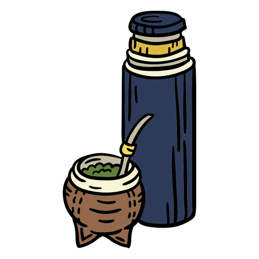
Uruguay mate cup hand drawn PNG Design
Choose a folder
All favorites
Create new
Save
Uruguay mate cup hand drawn PNG Design
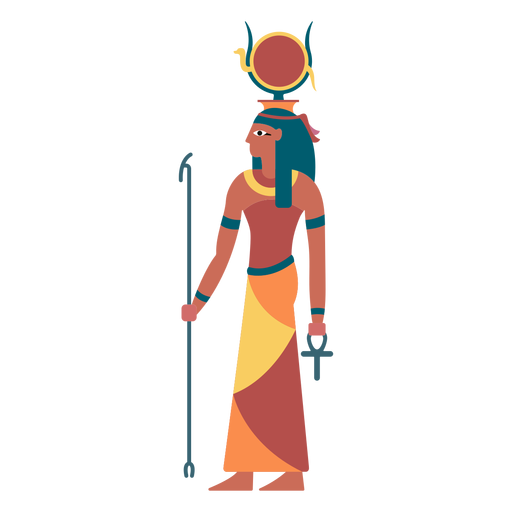
Egyptian gods hathor flat PNG Design
Choose a folder
All favorites
Create new
Save
Egyptian gods hathor flat PNG Design
Premium
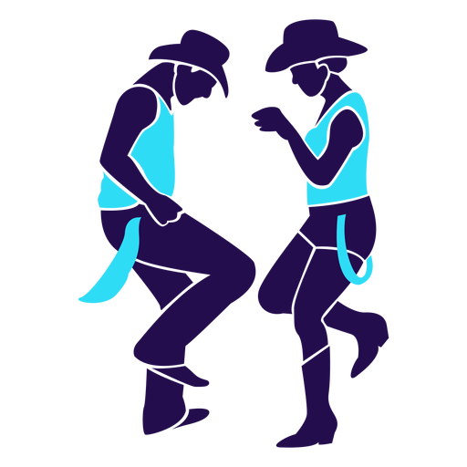
Dance pose country duo silhouette PNG Design
Choose a folder
All favorites
Create new
Save
Dance pose country duo silhouette PNG Design
Premium
Japan heart flag PNG Design
Choose a folder
All favorites
Create new
Save
Japan heart flag PNG Design
Premium
Bali province map PNG Design
Choose a folder
All favorites
Create new
Save
Bali province map PNG Design
Premium
Canary islands autonomous community map PNG Design
Choose a folder
All favorites
Create new
Save
Canary islands autonomous community map PNG Design
Premium
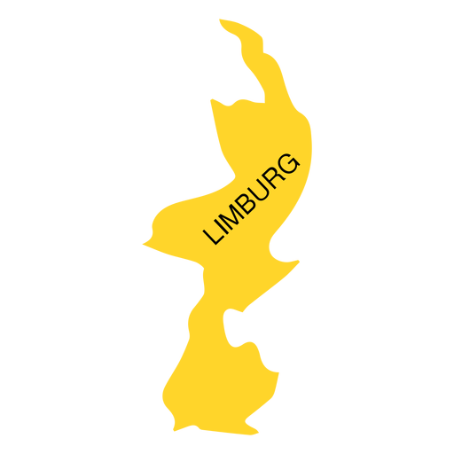
Limburg province map PNG Design
Choose a folder
All favorites
Create new
Save
Limburg province map PNG Design
Premium
Warship Sails red flag PNG Design
Choose a folder
All favorites
Create new
Save
Warship Sails red flag PNG Design
Premium
Construction project dimensions Drawings PNG Design
Choose a folder
All favorites
Create new
Save
Construction project dimensions Drawings PNG Design
Globe hand sticker.svg PNG Design
Choose a folder
All favorites
Create new
Save
Globe hand sticker.svg PNG Design
Premium
Set of poker chips stroke PNG Design
Choose a folder
All favorites
Create new
Save
Set of poker chips stroke PNG Design
Premium
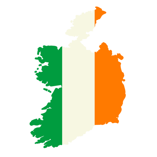
Map of ireland with the flag of ireland PNG Design
Choose a folder
All favorites
Create new
Save
Map of ireland with the flag of ireland PNG Design
Premium
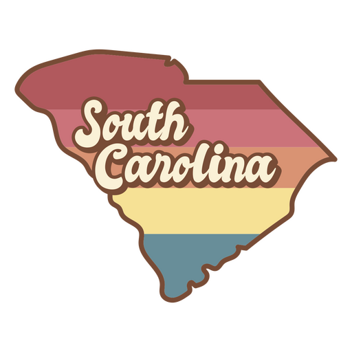
The state of south carolina in a rainbow color PNG Design
Choose a folder
All favorites
Create new
Save
The state of south carolina in a rainbow color PNG Design
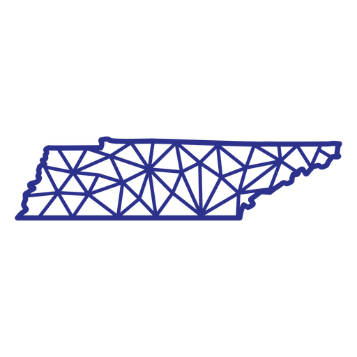
Tennessee map polygonal PNG Design
Choose a folder
All favorites
Create new
Save
Tennessee map polygonal PNG Design
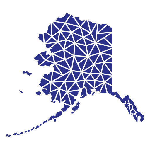
Alaska geometric states PNG Design
Choose a folder
All favorites
Create new
Save
Alaska geometric states PNG Design
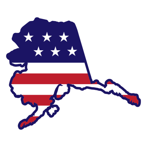
Alaska map color stroke PNG Design
Choose a folder
All favorites
Create new
Save
Alaska map color stroke PNG Design
Thank your brain color stroke PNG Design
Choose a folder
All favorites
Create new
Save
Thank your brain color stroke PNG Design
Flower shaped teacup cut out PNG Design
Choose a folder
All favorites
Create new
Save
Flower shaped teacup cut out PNG Design
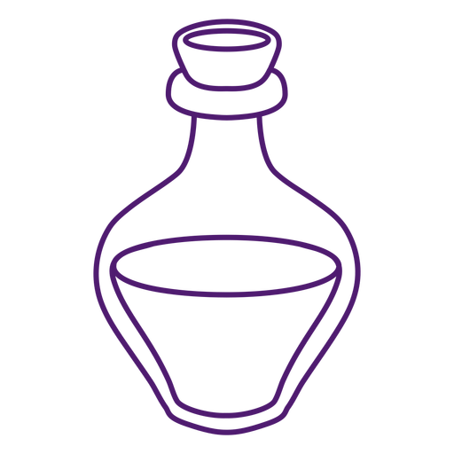
Magical potion glass bottle PNG Design
Choose a folder
All favorites
Create new
Save
Magical potion glass bottle PNG Design
Cooking pan kitchen equipment PNG Design
Choose a folder
All favorites
Create new
Save
Cooking pan kitchen equipment PNG Design
50 cents square label filled stroke PNG Design
Choose a folder
All favorites
Create new
Save
50 cents square label filled stroke PNG Design
Cross medallion flat PNG Design
Choose a folder
All favorites
Create new
Save
Cross medallion flat PNG Design
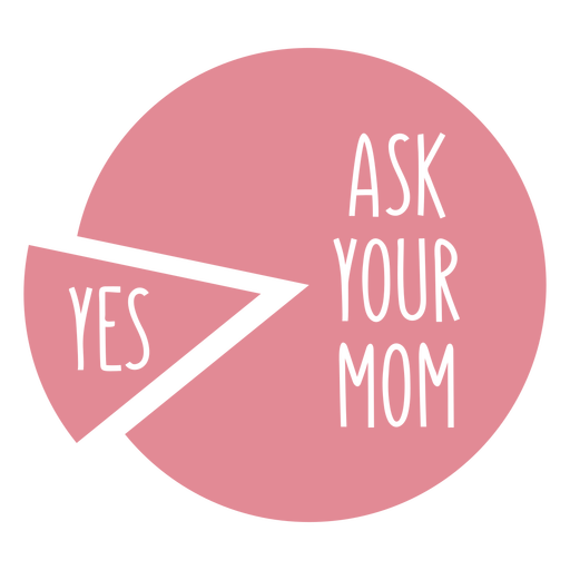
Funny family pie chart PNG Design
Choose a folder
All favorites
Create new
Save
Funny family pie chart PNG Design
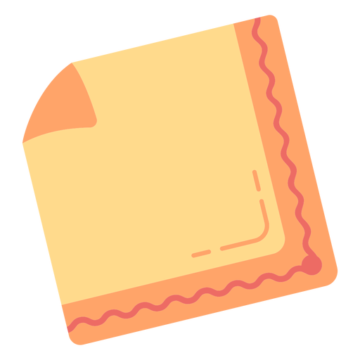
Orange napkin square PNG Design
Choose a folder
All favorites
Create new
Save
Orange napkin square PNG Design
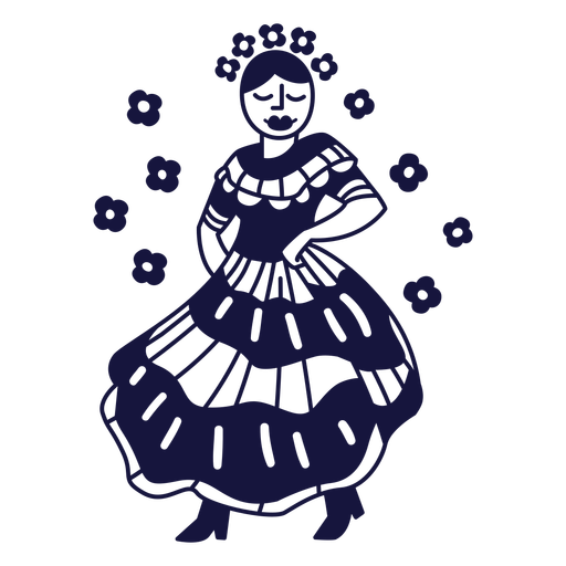
Merengue dominican monochrome doodle PNG Design
Choose a folder
All favorites
Create new
Save
Merengue dominican monochrome doodle PNG Design
Sheep reading character PNG Design
Choose a folder
All favorites
Create new
Save
Sheep reading character PNG Design
Uruguay bandoneon PNG Design
Choose a folder
All favorites
Create new
Save
Uruguay bandoneon PNG Design
Postcard letter colorful icon stroke PNG Design
Choose a folder
All favorites
Create new
Save
Postcard letter colorful icon stroke PNG Design
Premium
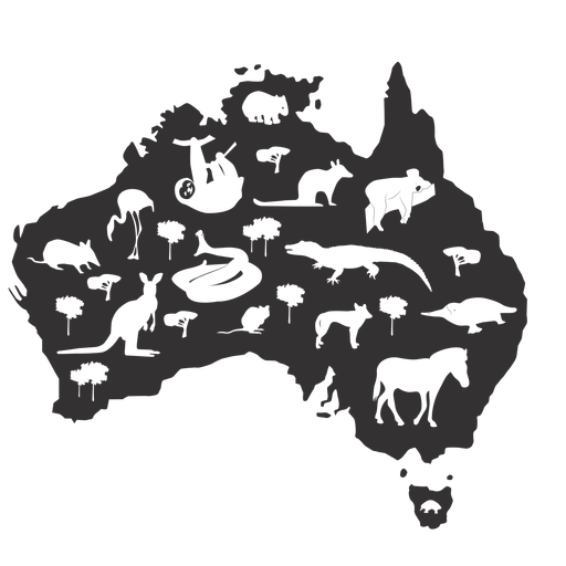
Australia silhouette PNG Design
Choose a folder
All favorites
Create new
Save
Australia silhouette PNG Design
Premium
World map icon PNG Design
Choose a folder
All favorites
Create new
Save
World map icon PNG Design
Premium
Qatar heart flag PNG Design
Choose a folder
All favorites
Create new
Save
Qatar heart flag PNG Design
Subscribe
To Get High-Quality Commercial Use Designs For Your Business
SEE PLANS
Next
of 98
prev page
next page