Design Library
New Merch Designs
T-Shirts
Vectors
Trending Merch Designs
PNGs & SVGs
Mockups
T-Shirt PSD Templates
Explore Designs
KDP Designs
Posters
Mugs
Phone Cases
Tote Bags
Pillows
Design Tools
Merch Designer
New!
Mockup Generator
AI Design Generator
Image Vectorizer
Quote Generator
T-Shirt Maker (Old)
Resources
Merch Digest
Blog
Help Center
Learn About Merch
Feedback
Corporate Solutions
Enterprise
API Access
Design Studio
Bulk Design Production
Pricing
Loading...
Sign Up
Login
PNG
maps
Design Library
New Merch Designs
T-Shirts
Vectors
Trending Merch Designs
PNGs & SVGs
Mockups
T-Shirt PSD Templates
Explore Designs
KDP Designs
Posters
Mugs
Phone Cases
Tote Bags
Pillows
Design Tools
Merch Designer
New!
Mockup Generator
AI Design Generator
Image Vectorizer
Quote Generator
T-Shirt Maker (Old)
Resources
Merch Digest
Blog
Help Center
Learn About Merch
Feedback
Corporate Solutions
Enterprise
API Access
Design Studio
Bulk Design Production
PLANS
PNG
maps
4890 maps PNG and SVG Editable Vectors
Download editable maps PNG and SVG Vectors with transparent background.
Related:
world maps
,
base maps
,
world livestock maps
Sort by
Most relevant
Sponsored results by
Get 15% off with code: VEXELS15
Show more
Snowman scene snow globe PNG Design
Choose a folder
All favorites
Create new
Save
Snowman scene snow globe PNG Design
Cute south korean gamer character PNG Design
Choose a folder
All favorites
Create new
Save
Cute south korean gamer character PNG Design
Globe doodle PNG Design
Choose a folder
All favorites
Create new
Save
Globe doodle PNG Design
Premium
Grey earth icon PNG Design
Choose a folder
All favorites
Create new
Save
Grey earth icon PNG Design
Premium
Hibiscus flower icon PNG Design
Choose a folder
All favorites
Create new
Save
Hibiscus flower icon PNG Design
Premium
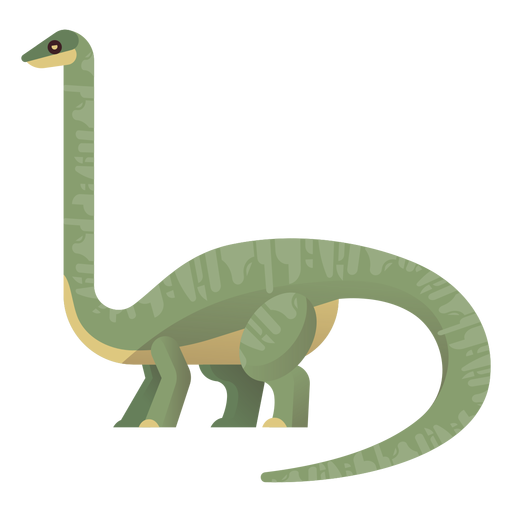
Long neck brachiosaurus vector PNG Design
Choose a folder
All favorites
Create new
Save
Long neck brachiosaurus vector PNG Design
Premium
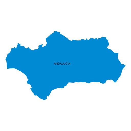
Andalusia autonomous community map PNG Design
Choose a folder
All favorites
Create new
Save
Andalusia autonomous community map PNG Design
Premium
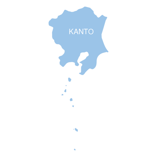
Kanto region map PNG Design
Choose a folder
All favorites
Create new
Save
Kanto region map PNG Design
Premium
Mizoram state map PNG Design
Choose a folder
All favorites
Create new
Save
Mizoram state map PNG Design
Premium
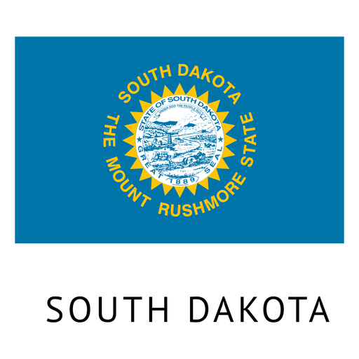
South dakota state flag PNG Design
Choose a folder
All favorites
Create new
Save
South dakota state flag PNG Design
Premium
Teacher Serious red glasses PNG Design
Choose a folder
All favorites
Create new
Save
Teacher Serious red glasses PNG Design
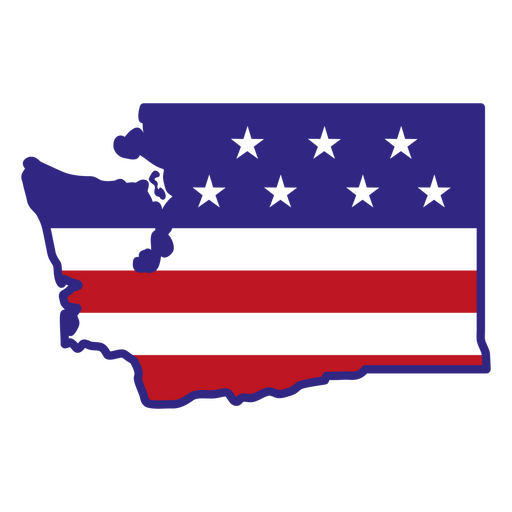
Washington color stroke states PNG Design
Choose a folder
All favorites
Create new
Save
Washington color stroke states PNG Design
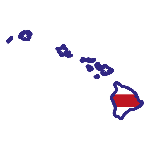
Hawaii color stroke states PNG Design
Choose a folder
All favorites
Create new
Save
Hawaii color stroke states PNG Design
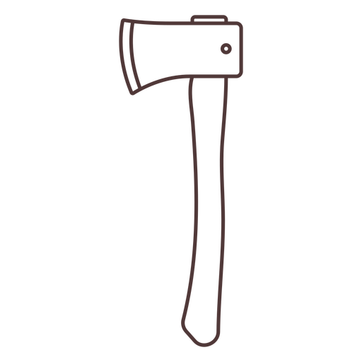
Common axe stroke PNG Design
Choose a folder
All favorites
Create new
Save
Common axe stroke PNG Design
Mermaid in the waves filled stroke PNG Design
Choose a folder
All favorites
Create new
Save
Mermaid in the waves filled stroke PNG Design
Bubblegum machine semi flat PNG Design
Choose a folder
All favorites
Create new
Save
Bubblegum machine semi flat PNG Design
Religious chalice stroke PNG Design
Choose a folder
All favorites
Create new
Save
Religious chalice stroke PNG Design
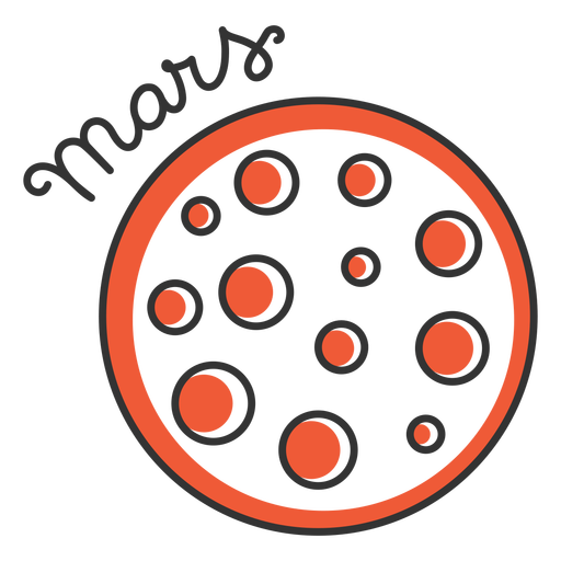
Mars simple solar system planet PNG Design
Choose a folder
All favorites
Create new
Save
Mars simple solar system planet PNG Design
Brown jupiter simple solar system planet PNG Design
Choose a folder
All favorites
Create new
Save
Brown jupiter simple solar system planet PNG Design
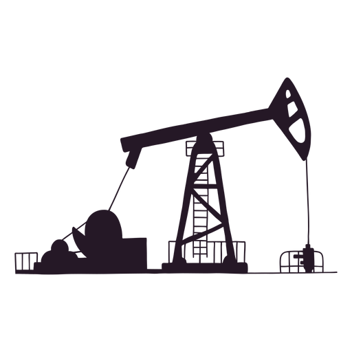
Oil site silhouette PNG Design
Choose a folder
All favorites
Create new
Save
Oil site silhouette PNG Design
Stroke pirate map PNG Design
Choose a folder
All favorites
Create new
Save
Stroke pirate map PNG Design
Globe planet flat stroke PNG Design
Choose a folder
All favorites
Create new
Save
Globe planet flat stroke PNG Design
Maple leaf heart stroke PNG Design
Choose a folder
All favorites
Create new
Save
Maple leaf heart stroke PNG Design
Premium
Russia flag language icon circle PNG Design
Choose a folder
All favorites
Create new
Save
Russia flag language icon circle PNG Design
Premium
Planet earth anger flat PNG Design
Choose a folder
All favorites
Create new
Save
Planet earth anger flat PNG Design
Premium
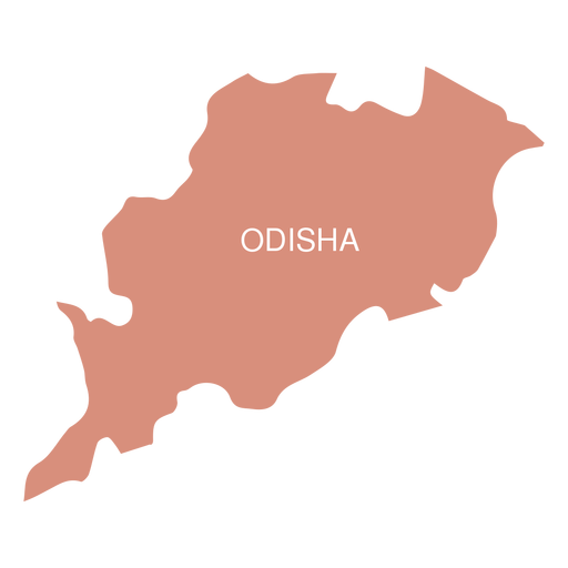
Odisha state map PNG Design
Choose a folder
All favorites
Create new
Save
Odisha state map PNG Design
Premium
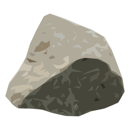
Rock boulder PNG Design
Choose a folder
All favorites
Create new
Save
Rock boulder PNG Design
Premium
Canada map silhouette PNG Design
Choose a folder
All favorites
Create new
Save
Canada map silhouette PNG Design
Premium
Faroe islands national flag PNG Design
Choose a folder
All favorites
Create new
Save
Faroe islands national flag PNG Design
Premium
San marino national flag PNG Design
Choose a folder
All favorites
Create new
Save
San marino national flag PNG Design
Percentage map infograph.svg PNG Design
Choose a folder
All favorites
Create new
Save
Percentage map infograph.svg PNG Design
Premium
The state of ohio is shown PNG Design
Choose a folder
All favorites
Create new
Save
The state of ohio is shown PNG Design
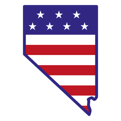
Nevada color stroke states PNG Design
Choose a folder
All favorites
Create new
Save
Nevada color stroke states PNG Design
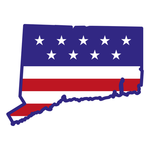
Connecticut color stroke states PNG Design
Choose a folder
All favorites
Create new
Save
Connecticut color stroke states PNG Design
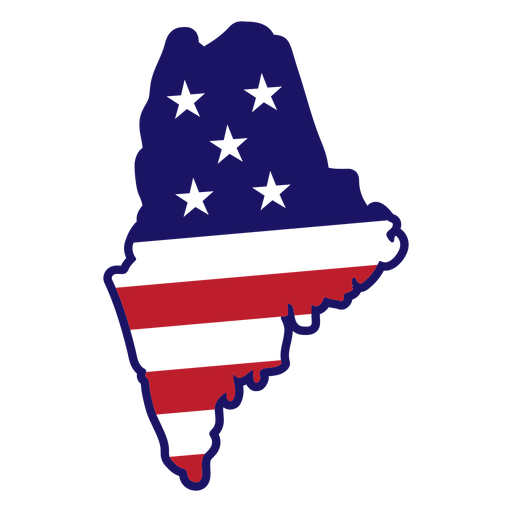
Maine map color stroke PNG Design
Choose a folder
All favorites
Create new
Save
Maine map color stroke PNG Design
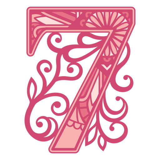
Pink number seven mandala stroke PNG Design
Choose a folder
All favorites
Create new
Save
Pink number seven mandala stroke PNG Design
Brain with flowers stroke PNG Design
Choose a folder
All favorites
Create new
Save
Brain with flowers stroke PNG Design
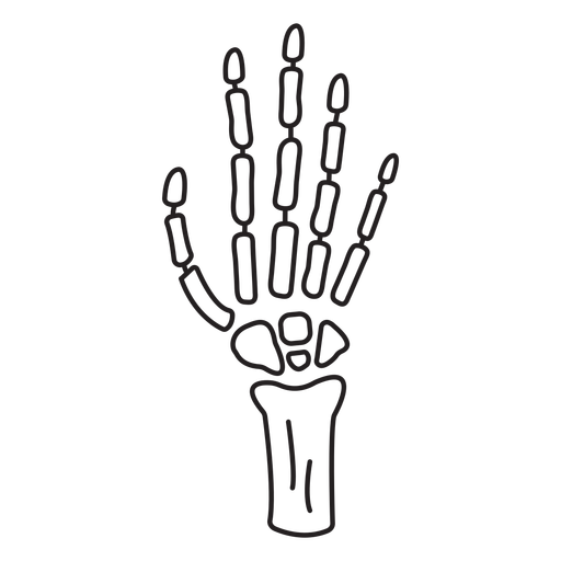
Skeleton hand stroke PNG Design
Choose a folder
All favorites
Create new
Save
Skeleton hand stroke PNG Design
Dahlia flower cut out PNG Design
Choose a folder
All favorites
Create new
Save
Dahlia flower cut out PNG Design
World compass flat PNG Design
Choose a folder
All favorites
Create new
Save
World compass flat PNG Design
Vintage table stroke PNG Design
Choose a folder
All favorites
Create new
Save
Vintage table stroke PNG Design
Comayagua cathedral honduras PNG Design
Choose a folder
All favorites
Create new
Save
Comayagua cathedral honduras PNG Design
Running wolf logo PNG Design
Choose a folder
All favorites
Create new
Save
Running wolf logo PNG Design
Official argentinian sun black PNG Design
Choose a folder
All favorites
Create new
Save
Official argentinian sun black PNG Design
Passport icon stroke PNG Design
Choose a folder
All favorites
Create new
Save
Passport icon stroke PNG Design
Canada ribbon maple leaf badge sticker PNG Design
Choose a folder
All favorites
Create new
Save
Canada ribbon maple leaf badge sticker PNG Design
Flag maple leaf badge sticker PNG Design
Choose a folder
All favorites
Create new
Save
Flag maple leaf badge sticker PNG Design
Premium
Nagaland state map PNG Design
Choose a folder
All favorites
Create new
Save
Nagaland state map PNG Design
Premium
Dollar money stroke icon PNG Design
Choose a folder
All favorites
Create new
Save
Dollar money stroke icon PNG Design
Premium
Padlock doodle icon PNG Design
Choose a folder
All favorites
Create new
Save
Padlock doodle icon PNG Design
Subscribe
To Get High-Quality Commercial Use Designs For Your Business
SEE PLANS
Next
of 98
prev page
next page