Design Library
New Merch Designs
T-Shirts
Vectors
Trending Merch Designs
PNGs & SVGs
Mockups
T-Shirt PSD Templates
Explore Designs
KDP Designs
Posters
Mugs
Phone Cases
Tote Bags
Pillows
Design Tools
Merch Designer
New!
Mockup Generator
AI Design Generator
Image Vectorizer
Quote Generator
T-Shirt Maker (Old)
Resources
Merch Digest
Blog
Help Center
Learn About Merch
Feedback
Corporate Solutions
Enterprise
API Access
Design Studio
Bulk Design Production
Pricing
Loading...
Sign Up
Login
All
country
maps
Design Library
New Merch Designs
T-Shirts
Vectors
Trending Merch Designs
PNGs & SVGs
Mockups
T-Shirt PSD Templates
Explore Designs
KDP Designs
Posters
Mugs
Phone Cases
Tote Bags
Pillows
Design Tools
Merch Designer
New!
Mockup Generator
AI Design Generator
Image Vectorizer
Quote Generator
T-Shirt Maker (Old)
Resources
Merch Digest
Blog
Help Center
Learn About Merch
Feedback
Corporate Solutions
Enterprise
API Access
Design Studio
Bulk Design Production
PLANS
All
country
maps
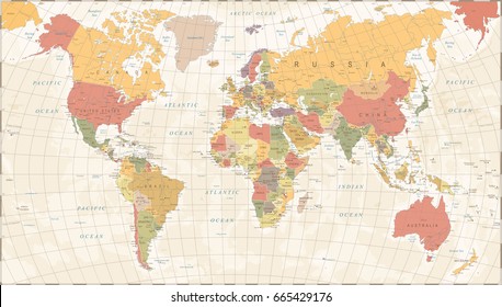
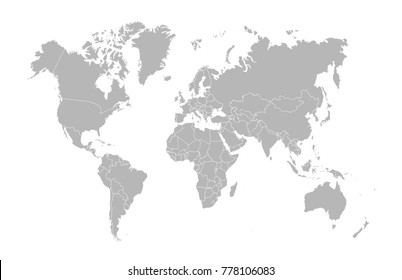
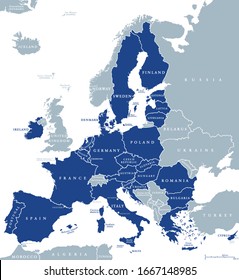
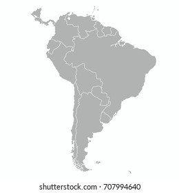
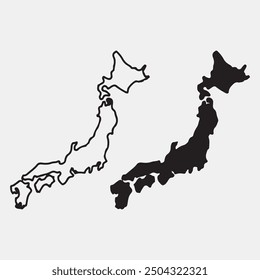
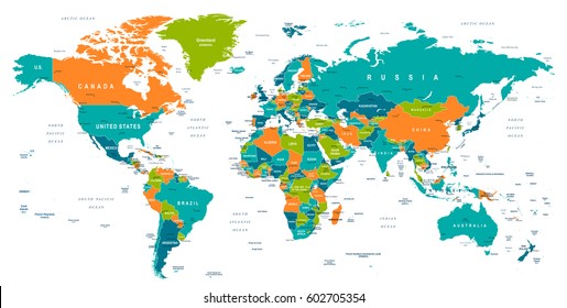
1936 country maps designs graphics for t-shirt and print on demand merch
Download country maps t-shirt designs and other merch graphics like book covers, phone cases, tote bags and more.
Sort by
Most relevant
Sponsored results by
Get 15% off with code: VEXELS15
Show more
Charango bolivia cut out PNG Design
Choose a folder
All favorites
Create new
Save
Charango bolivia cut out PNG Design
Merengue dominican monochrome doodle PNG Design
Choose a folder
All favorites
Create new
Save
Merengue dominican monochrome doodle PNG Design
Premium
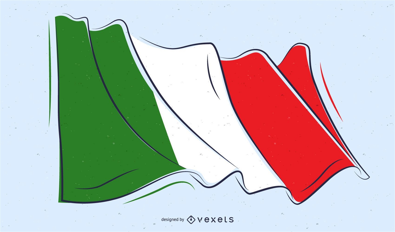
Italy Flag Doodle Design
Choose a folder
All favorites
Create new
Save
Italy Flag Doodle Design
Premium
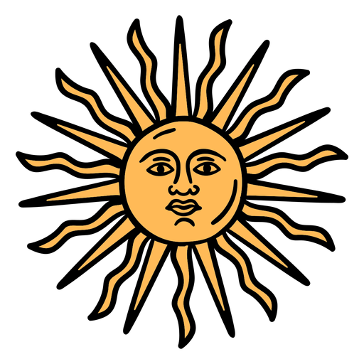
Official argentinian sun hand drawn PNG Design
Choose a folder
All favorites
Create new
Save
Official argentinian sun hand drawn PNG Design
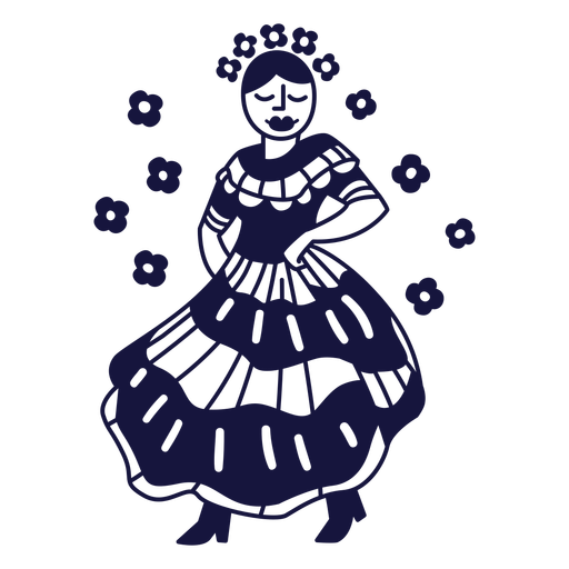
Cute argentinian man dancing character PNG Design
Choose a folder
All favorites
Create new
Save
Cute argentinian man dancing character PNG Design
Canada ribbon maple leaf badge sticker PNG Design
Choose a folder
All favorites
Create new
Save
Canada ribbon maple leaf badge sticker PNG Design
Premium
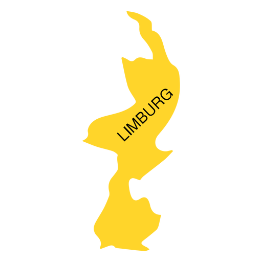
Limburg province map PNG Design
Choose a folder
All favorites
Create new
Save
Limburg province map PNG Design
Premium
Prince edward island province map PNG Design
Choose a folder
All favorites
Create new
Save
Prince edward island province map PNG Design
Premium
Marshall islands national flag PNG Design
Choose a folder
All favorites
Create new
Save
Marshall islands national flag PNG Design
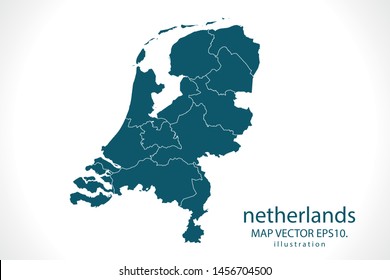
A silhouette of the map of Norway PNG Design
Choose a folder
All favorites
Create new
Save
A silhouette of the map of Norway PNG Design
Canada day maple leaf badge sticker PNG Design
Choose a folder
All favorites
Create new
Save
Canada day maple leaf badge sticker PNG Design
Premium
Congo republic national flag PNG Design
Choose a folder
All favorites
Create new
Save
Congo republic national flag PNG Design
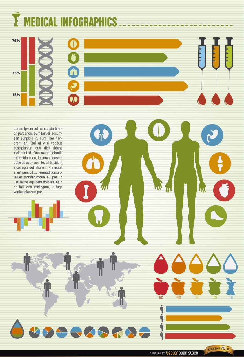
Men and women health world infographics
Choose a folder
All favorites
Create new
Save
Men and women health world infographics
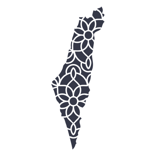
Mandala Israel Map PNG Design
Choose a folder
All favorites
Create new
Save
Mandala Israel Map PNG Design
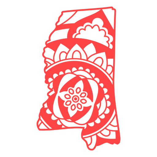
Mississippi state mandala map stroke PNG Design
Choose a folder
All favorites
Create new
Save
Mississippi state mandala map stroke PNG Design
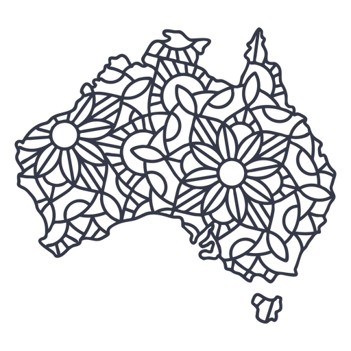
Australia map silhouette mandala stroke PNG Design
Choose a folder
All favorites
Create new
Save
Australia map silhouette mandala stroke PNG Design
Chipa paraguay stroke PNG Design
Choose a folder
All favorites
Create new
Save
Chipa paraguay stroke PNG Design
Costa rica frog stroke PNG Design
Choose a folder
All favorites
Create new
Save
Costa rica frog stroke PNG Design
Premium
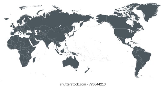
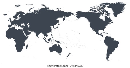
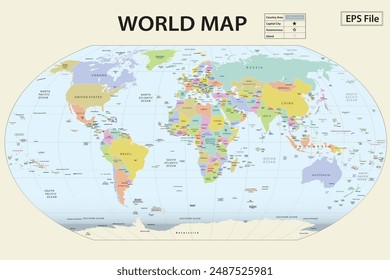
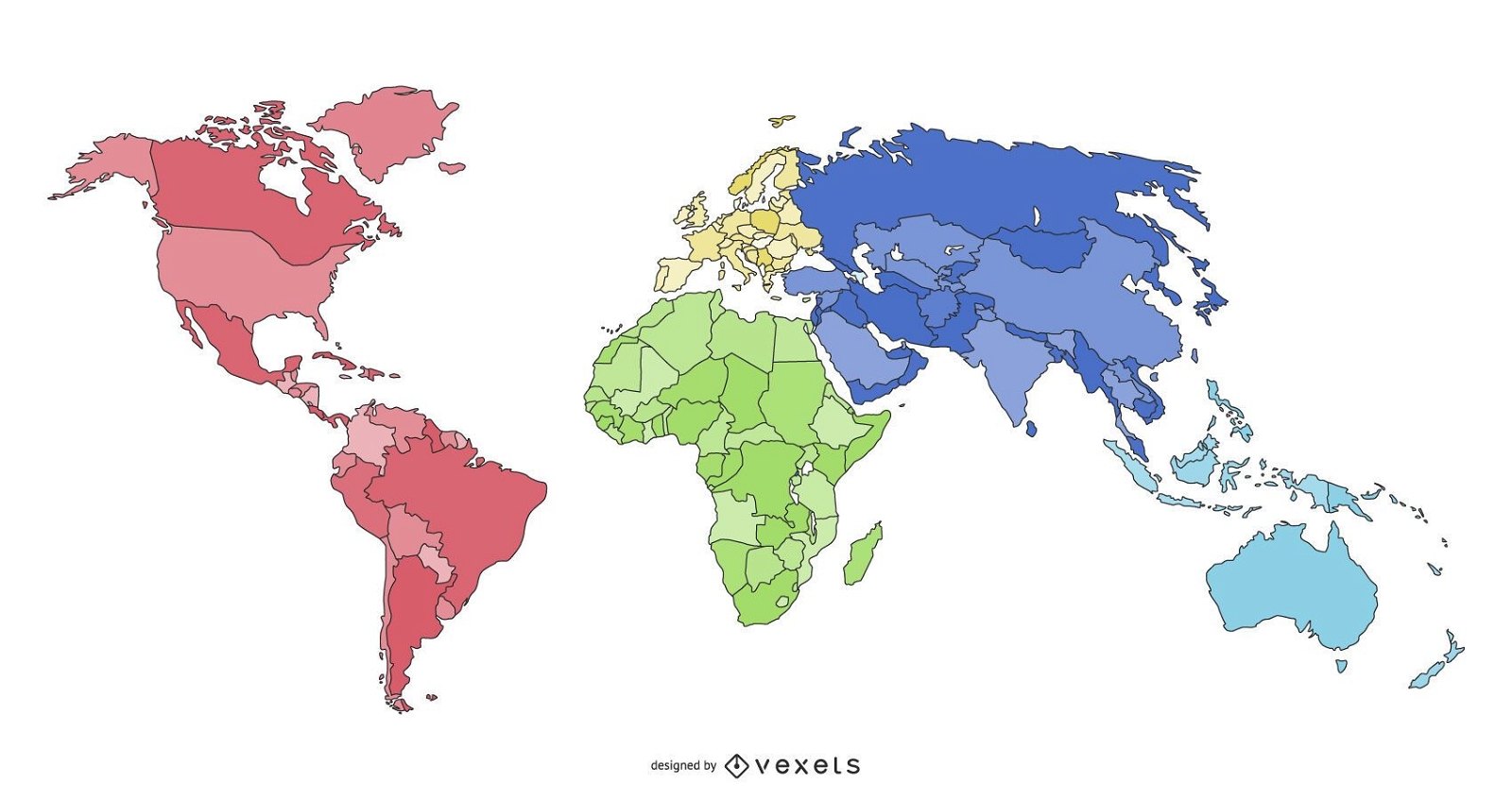
world continents map illustration design
Choose a folder
All favorites
Create new
Save
world continents map illustration design
Tocororo cuba bird flat design PNG Design
Choose a folder
All favorites
Create new
Save
Tocororo cuba bird flat design PNG Design
Uruguay bandoneon PNG Design
Choose a folder
All favorites
Create new
Save
Uruguay bandoneon PNG Design
Red and white maple leaf flat PNG Design
Choose a folder
All favorites
Create new
Save
Red and white maple leaf flat PNG Design
Premium
Federal district brasilia state map PNG Design
Choose a folder
All favorites
Create new
Save
Federal district brasilia state map PNG Design
Premium
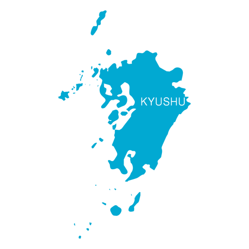
Kyushu region map PNG Design
Choose a folder
All favorites
Create new
Save
Kyushu region map PNG Design
Premium
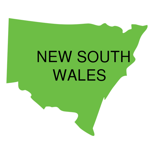
New south wales state map PNG Design
Choose a folder
All favorites
Create new
Save
New south wales state map PNG Design
Premium
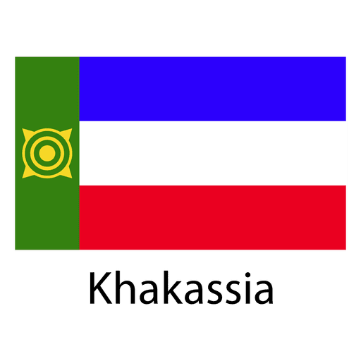
Khakassia national flag PNG Design
Choose a folder
All favorites
Create new
Save
Khakassia national flag PNG Design
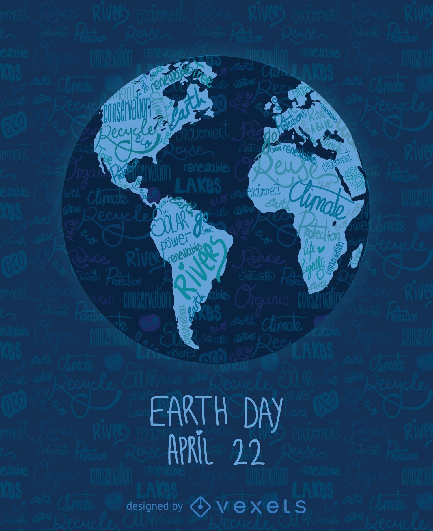
Earth Day written world map
Choose a folder
All favorites
Create new
Save
Earth Day written world map
Vermont color stroke states PNG Design
Choose a folder
All favorites
Create new
Save
Vermont color stroke states PNG Design
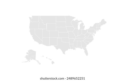
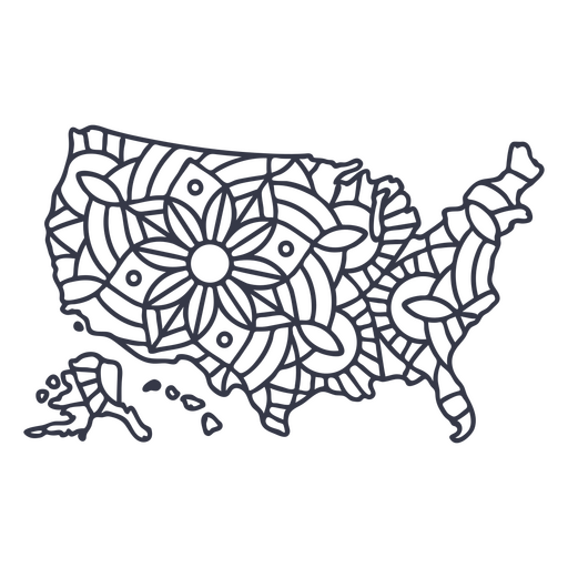
USA map silhouette mandala stroke PNG Design
Choose a folder
All favorites
Create new
Save
USA map silhouette mandala stroke PNG Design
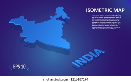
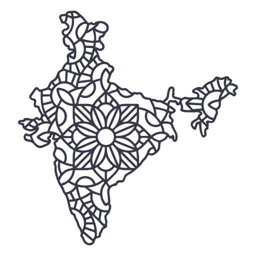
India map silhouette mandala stroke PNG Design
Choose a folder
All favorites
Create new
Save
India map silhouette mandala stroke PNG Design
Premium
Central african republic national flag PNG Design
Choose a folder
All favorites
Create new
Save
Central african republic national flag PNG Design
Premium
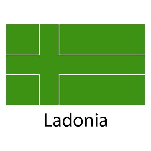
Ladonia national flag PNG Design
Choose a folder
All favorites
Create new
Save
Ladonia national flag PNG Design
Wyoming state stroke map PNG Design
Choose a folder
All favorites
Create new
Save
Wyoming state stroke map PNG Design
Guatemala rompope flat PNG Design
Choose a folder
All favorites
Create new
Save
Guatemala rompope flat PNG Design
Cuba traditional hat imagery flat PNG Design
Choose a folder
All favorites
Create new
Save
Cuba traditional hat imagery flat PNG Design
Flag cuba nationalism flat design PNG Design
Choose a folder
All favorites
Create new
Save
Flag cuba nationalism flat design PNG Design
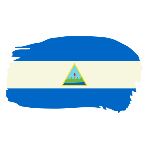
Nicaragua brushy flag design PNG Design
Choose a folder
All favorites
Create new
Save
Nicaragua brushy flag design PNG Design
Korean bibimbap element PNG Design
Choose a folder
All favorites
Create new
Save
Korean bibimbap element PNG Design
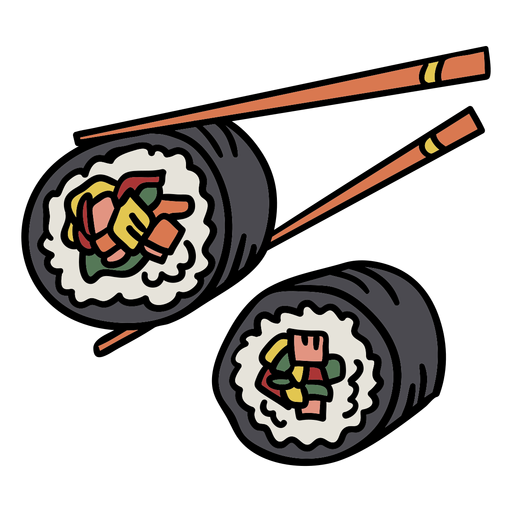
Korean gimbap element PNG Design
Choose a folder
All favorites
Create new
Save
Korean gimbap element PNG Design
Premium
Sheriff badge icon PNG Design
Choose a folder
All favorites
Create new
Save
Sheriff badge icon PNG Design
Happy canada day maple leaf sticker badge PNG Design
Choose a folder
All favorites
Create new
Save
Happy canada day maple leaf sticker badge PNG Design
Premium
Japan heart flag PNG Design
Choose a folder
All favorites
Create new
Save
Japan heart flag PNG Design
Premium
Bali province map PNG Design
Choose a folder
All favorites
Create new
Save
Bali province map PNG Design
Premium
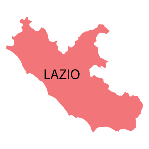
Lazio region map PNG Design
Choose a folder
All favorites
Create new
Save
Lazio region map PNG Design
Premium
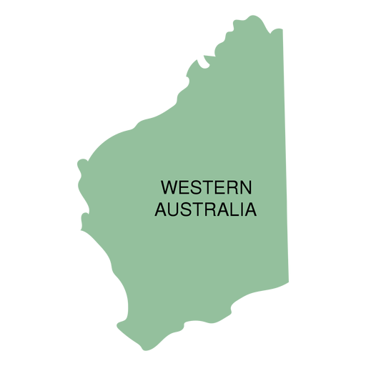
Western australia state map PNG Design
Choose a folder
All favorites
Create new
Save
Western australia state map PNG Design
Premium
British antarctic territory national flag PNG Design
Choose a folder
All favorites
Create new
Save
British antarctic territory national flag PNG Design
Premium
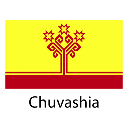
Chuvashia national flag PNG Design
Choose a folder
All favorites
Create new
Save
Chuvashia national flag PNG Design
Premium
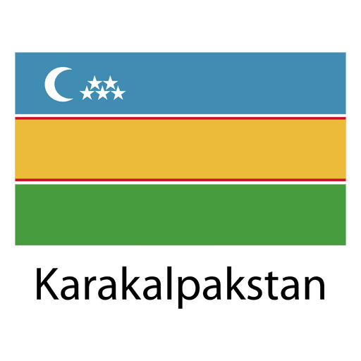
Karakalpakstan national flag PNG Design
Choose a folder
All favorites
Create new
Save
Karakalpakstan national flag PNG Design
Premium
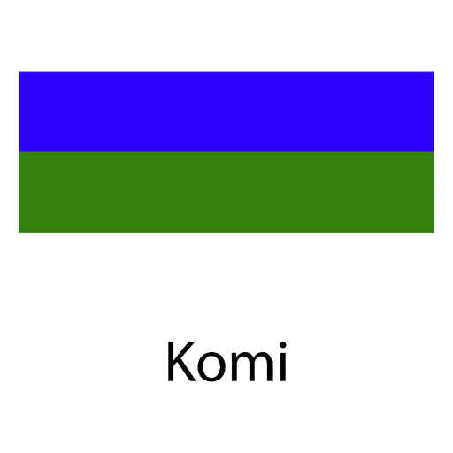
Komi national flag PNG Design
Choose a folder
All favorites
Create new
Save
Komi national flag PNG Design
Premium
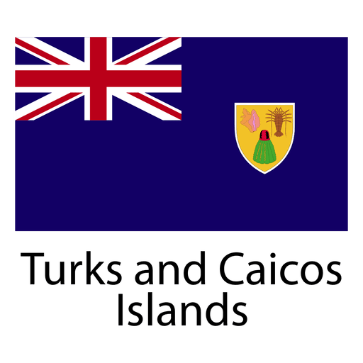
Turks and caicos islands national flag PNG Design
Choose a folder
All favorites
Create new
Save
Turks and caicos islands national flag PNG Design
Boost Your Business
With The Leading Graphic Platform For Merch.
SEE PLANS
Next
of 39
prev page
next page