Design Library
New Merch Designs
T-Shirts
Vectors
Trending Merch Designs
PNGs & SVGs
Mockups
T-Shirt PSD Templates
Explore Designs
KDP Designs
Posters
Mugs
Phone Cases
Tote Bags
Pillows
Design Tools
Merch Designer
New!
Mockup Generator
AI Design Generator
Image Vectorizer
Quote Generator
T-Shirt Maker (Old)
Resources
Merch Digest
Blog
Help Center
Learn About Merch
Feedback
Corporate Solutions
Enterprise
API Access
Design Studio
Bulk Design Production
Pricing
Loading...
Sign Up
Login
All
country
maps
Design Library
New Merch Designs
T-Shirts
Vectors
Trending Merch Designs
PNGs & SVGs
Mockups
T-Shirt PSD Templates
Explore Designs
KDP Designs
Posters
Mugs
Phone Cases
Tote Bags
Pillows
Design Tools
Merch Designer
New!
Mockup Generator
AI Design Generator
Image Vectorizer
Quote Generator
T-Shirt Maker (Old)
Resources
Merch Digest
Blog
Help Center
Learn About Merch
Feedback
Corporate Solutions
Enterprise
API Access
Design Studio
Bulk Design Production
PLANS
All
country
maps
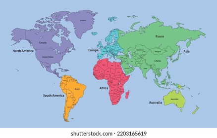
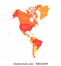
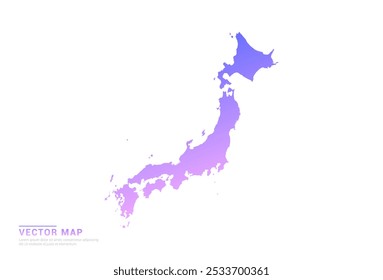
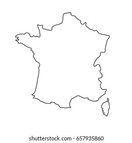
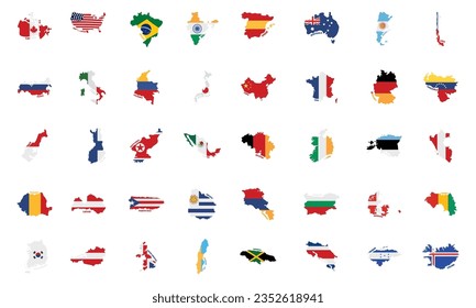
1936 country maps designs graphics for t-shirt and print on demand merch
Download country maps t-shirt designs and other merch graphics like book covers, phone cases, tote bags and more.
Sort by
Most relevant
Sponsored results by
Get 15% off with code: VEXELS15
Show more
Premium
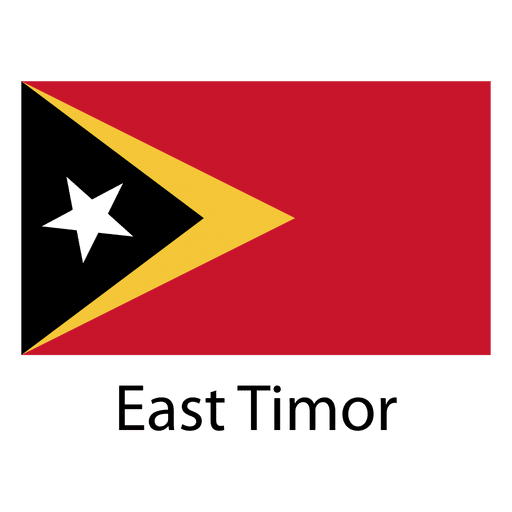
East timor national flag PNG Design
Choose a folder
All favorites
Create new
Save
East timor national flag PNG Design
Premium
Sealand principality of national flag PNG Design
Choose a folder
All favorites
Create new
Save
Sealand principality of national flag PNG Design
Premium
Thiland national flag PNG Design
Choose a folder
All favorites
Create new
Save
Thiland national flag PNG Design
A silhouette of the map of Spain PNG Design
Choose a folder
All favorites
Create new
Save
A silhouette of the map of Spain PNG Design
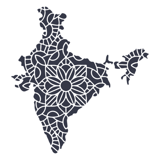
India map silhouette mandala cut out PNG Design
Choose a folder
All favorites
Create new
Save
India map silhouette mandala cut out PNG Design
Connecticut color stroke states PNG Design
Choose a folder
All favorites
Create new
Save
Connecticut color stroke states PNG Design
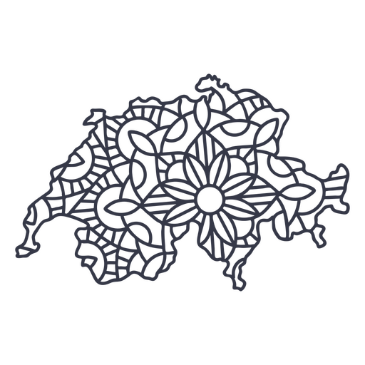
Switzerland map silhouette mandala stroke PNG Design
Choose a folder
All favorites
Create new
Save
Switzerland map silhouette mandala stroke PNG Design
Costa rica frog flat PNG Design
Choose a folder
All favorites
Create new
Save
Costa rica frog flat PNG Design
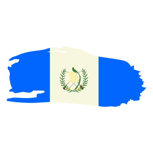
Guatemala brushy flag design PNG Design
Choose a folder
All favorites
Create new
Save
Guatemala brushy flag design PNG Design
Premium
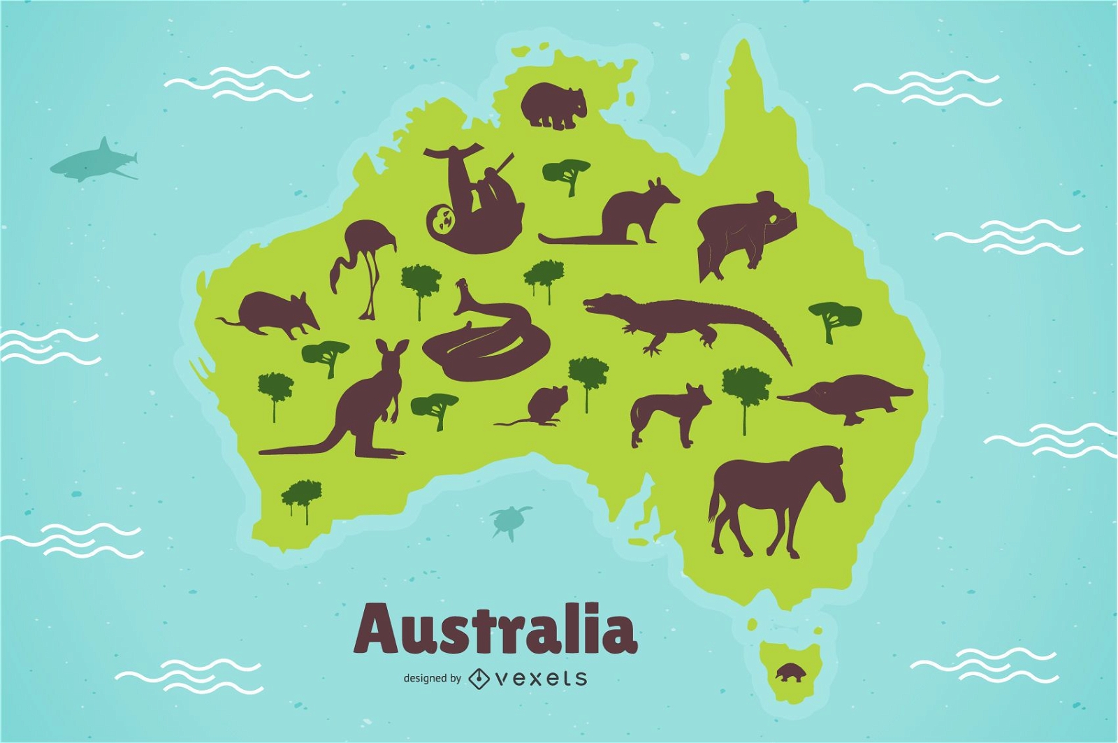
Australia Animal Map Illustration
Choose a folder
All favorites
Create new
Save
Australia Animal Map Illustration
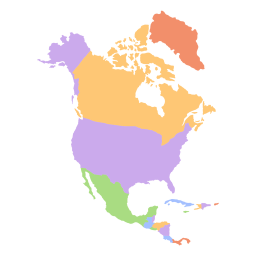
North america flat continents map PNG Design
Choose a folder
All favorites
Create new
Save
North america flat continents map PNG Design
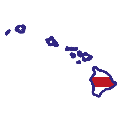
Hawaii color stroke states PNG Design
Choose a folder
All favorites
Create new
Save
Hawaii color stroke states PNG Design
Premium
Hockey player on canada flag flat PNG Design
Choose a folder
All favorites
Create new
Save
Hockey player on canada flag flat PNG Design
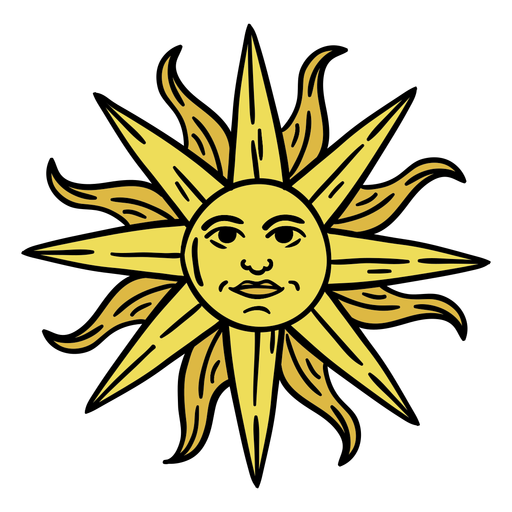
Uruguay sun art hand drawn PNG Design
Choose a folder
All favorites
Create new
Save
Uruguay sun art hand drawn PNG Design
Cute south korean girl character PNG Design
Choose a folder
All favorites
Create new
Save
Cute south korean girl character PNG Design
Premium
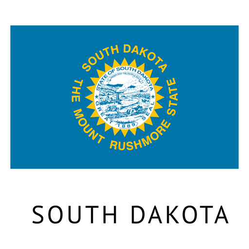
South dakota state flag PNG Design
Choose a folder
All favorites
Create new
Save
South dakota state flag PNG Design
Premium
Russia flag badge PNG Design
Choose a folder
All favorites
Create new
Save
Russia flag badge PNG Design
Premium
Farm girls cn do it all sticker PNG Design
Choose a folder
All favorites
Create new
Save
Farm girls cn do it all sticker PNG Design
Colorado color stroke states PNG Design
Choose a folder
All favorites
Create new
Save
Colorado color stroke states PNG Design
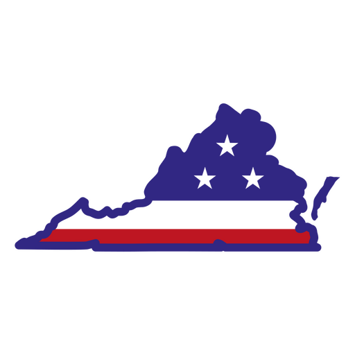
States color stroke virginia PNG Design
Choose a folder
All favorites
Create new
Save
States color stroke virginia PNG Design
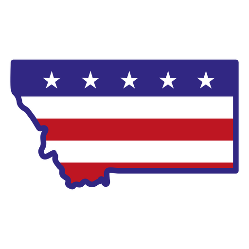
Montana color stroke states PNG Design
Choose a folder
All favorites
Create new
Save
Montana color stroke states PNG Design
Comayagua cathedral honduras PNG Design
Choose a folder
All favorites
Create new
Save
Comayagua cathedral honduras PNG Design
Maple leaf heart stroke PNG Design
Choose a folder
All favorites
Create new
Save
Maple leaf heart stroke PNG Design
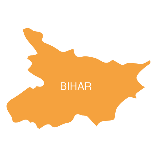
Premium
Bihar state map PNG Design
Choose a folder
All favorites
Create new
Save
Bihar state map PNG Design
Premium
Mizoram state map PNG Design
Choose a folder
All favorites
Create new
Save
Mizoram state map PNG Design
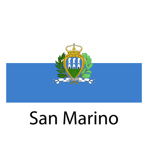
Premium
San marino national flag PNG Design
Choose a folder
All favorites
Create new
Save
San marino national flag PNG Design
Texas mandala states PNG Design
Choose a folder
All favorites
Create new
Save
Texas mandala states PNG Design
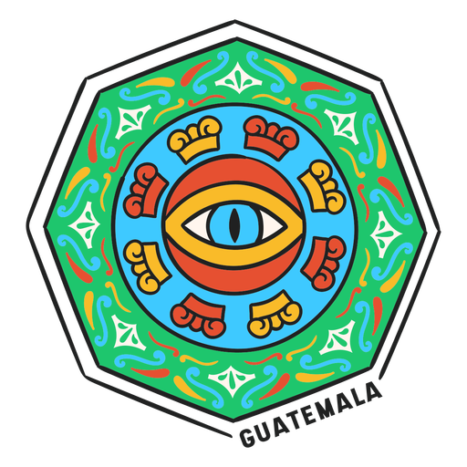
Eye mandala hectagon guatemala PNG Design
Choose a folder
All favorites
Create new
Save
Eye mandala hectagon guatemala PNG Design
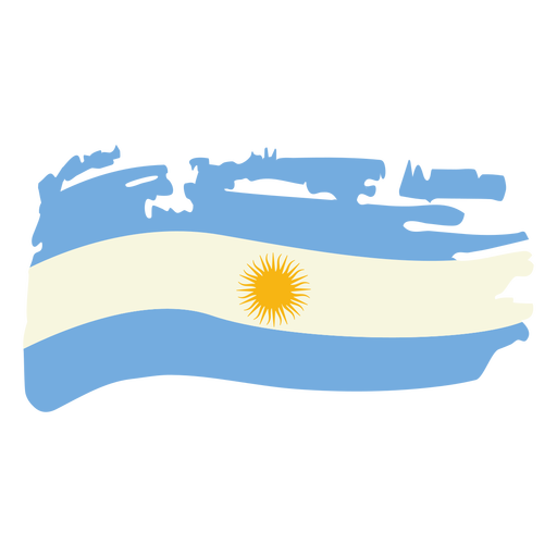
Argentina brushy flag design PNG Design
Choose a folder
All favorites
Create new
Save
Argentina brushy flag design PNG Design
Cute south korean gamer character PNG Design
Choose a folder
All favorites
Create new
Save
Cute south korean gamer character PNG Design
Premium
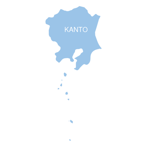
Kanto region map PNG Design
Choose a folder
All favorites
Create new
Save
Kanto region map PNG Design
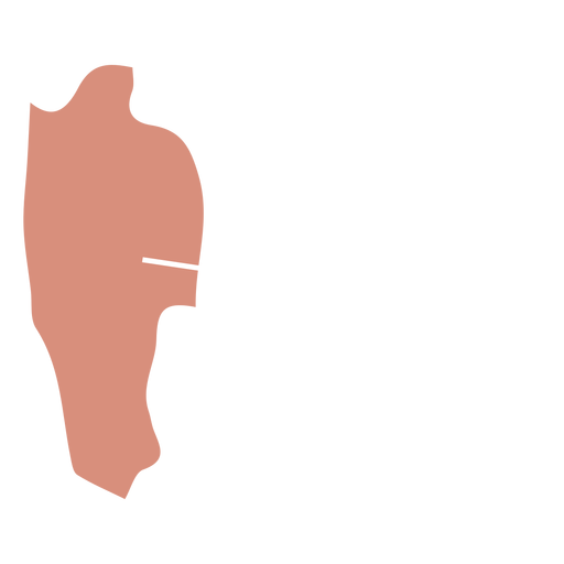
Premium
Nagaland state map PNG Design
Choose a folder
All favorites
Create new
Save
Nagaland state map PNG Design
Premium
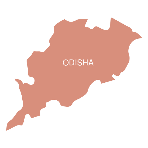
Odisha state map PNG Design
Choose a folder
All favorites
Create new
Save
Odisha state map PNG Design
West virginia duotone states PNG Design
Choose a folder
All favorites
Create new
Save
West virginia duotone states PNG Design
Tennessee color stroke states PNG Design
Choose a folder
All favorites
Create new
Save
Tennessee color stroke states PNG Design
South Dakota state stroke map PNG Design
Choose a folder
All favorites
Create new
Save
South Dakota state stroke map PNG Design
Flag maple leaf badge sticker PNG Design
Choose a folder
All favorites
Create new
Save
Flag maple leaf badge sticker PNG Design
Premium
Russia flag language icon circle PNG Design
Choose a folder
All favorites
Create new
Save
Russia flag language icon circle PNG Design
Premium
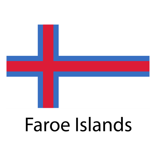
Faroe islands national flag PNG Design
Choose a folder
All favorites
Create new
Save
Faroe islands national flag PNG Design
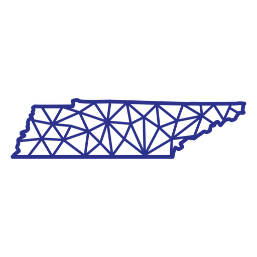
Tennessee map polygonal PNG Design
Choose a folder
All favorites
Create new
Save
Tennessee map polygonal PNG Design
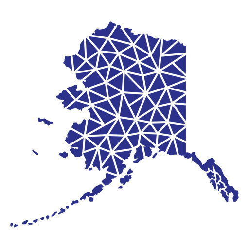
Alaska geometric states PNG Design
Choose a folder
All favorites
Create new
Save
Alaska geometric states PNG Design
Arepa food venezuela flat PNG Design
Choose a folder
All favorites
Create new
Save
Arepa food venezuela flat PNG Design
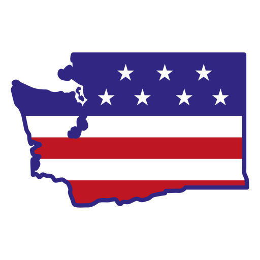
Washington color stroke states PNG Design
Choose a folder
All favorites
Create new
Save
Washington color stroke states PNG Design
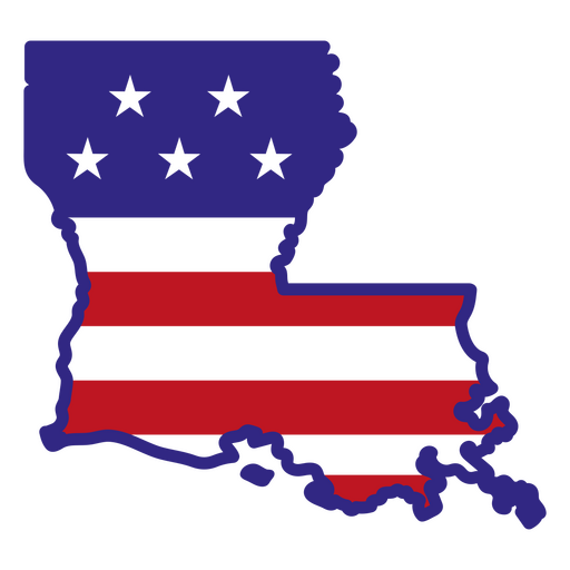
Louisiana color stroke states PNG Design
Choose a folder
All favorites
Create new
Save
Louisiana color stroke states PNG Design
North Dakota usa map silhouette PNG Design
Choose a folder
All favorites
Create new
Save
North Dakota usa map silhouette PNG Design
Official argentinian sun black PNG Design
Choose a folder
All favorites
Create new
Save
Official argentinian sun black PNG Design
Premium
Saint kitts and nevis national flag PNG Design
Choose a folder
All favorites
Create new
Save
Saint kitts and nevis national flag PNG Design
Premium
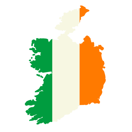
Map of ireland with the flag of ireland PNG Design
Choose a folder
All favorites
Create new
Save
Map of ireland with the flag of ireland PNG Design
Premium
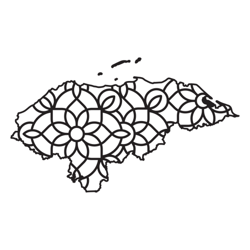
Mandala-style map shaped like Honduras PNG Design
Choose a folder
All favorites
Create new
Save
Mandala-style map shaped like Honduras PNG Design
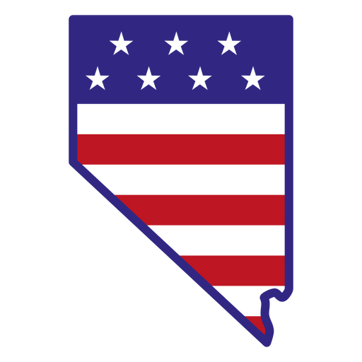
Nevada color stroke states PNG Design
Choose a folder
All favorites
Create new
Save
Nevada color stroke states PNG Design
Boost Your Business
With The Leading Graphic Platform For Merch.
SEE PLANS
Next
of 39
prev page
next page