Design Library
New Merch Designs
T-Shirts
Vectors
Trending Merch Designs
PNGs & SVGs
Mockups
T-Shirt PSD Templates
Explore Designs
KDP Designs
Posters
Mugs
Phone Cases
Tote Bags
Pillows
Design Tools
Merch Designer
New!
Mockup Generator
AI Design Generator
Image Vectorizer
Quote Generator
T-Shirt Maker (Old)
Resources
Merch Digest
Blog
Help Center
Learn About Merch
Feedback
Corporate Solutions
Enterprise
API Access
Design Studio
Bulk Design Production
Pricing
Loading...
Sign Up
Login
All
country
maps
Design Library
New Merch Designs
T-Shirts
Vectors
Trending Merch Designs
PNGs & SVGs
Mockups
T-Shirt PSD Templates
Explore Designs
KDP Designs
Posters
Mugs
Phone Cases
Tote Bags
Pillows
Design Tools
Merch Designer
New!
Mockup Generator
AI Design Generator
Image Vectorizer
Quote Generator
T-Shirt Maker (Old)
Resources
Merch Digest
Blog
Help Center
Learn About Merch
Feedback
Corporate Solutions
Enterprise
API Access
Design Studio
Bulk Design Production
PLANS
All
country
maps
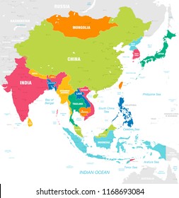
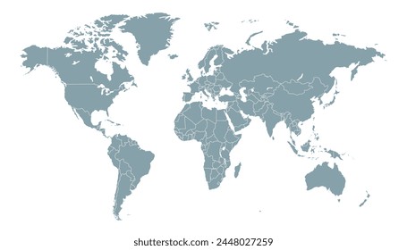
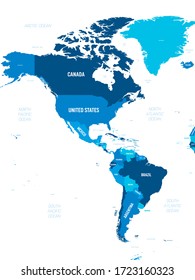
1936 country maps designs graphics for t-shirt and print on demand merch
Download country maps t-shirt designs and other merch graphics like book covers, phone cases, tote bags and more.
Sort by
Most relevant
Sponsored results by
Get 15% off with code: VEXELS15
Show more
Premium
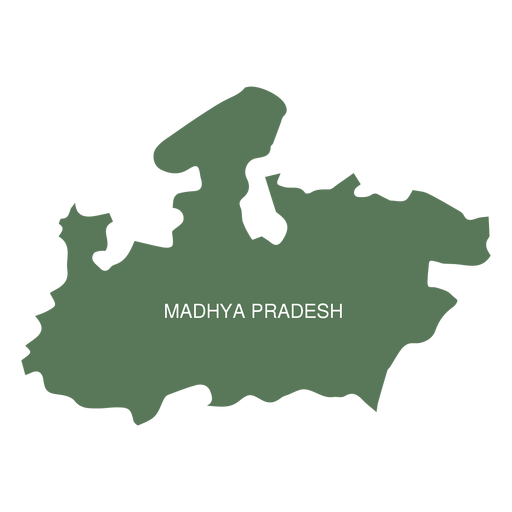
Madhya pradesh state map PNG Design
Choose a folder
All favorites
Create new
Save
Madhya pradesh state map PNG Design
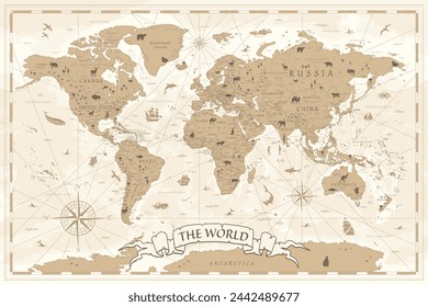
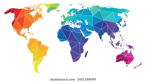
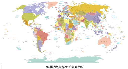
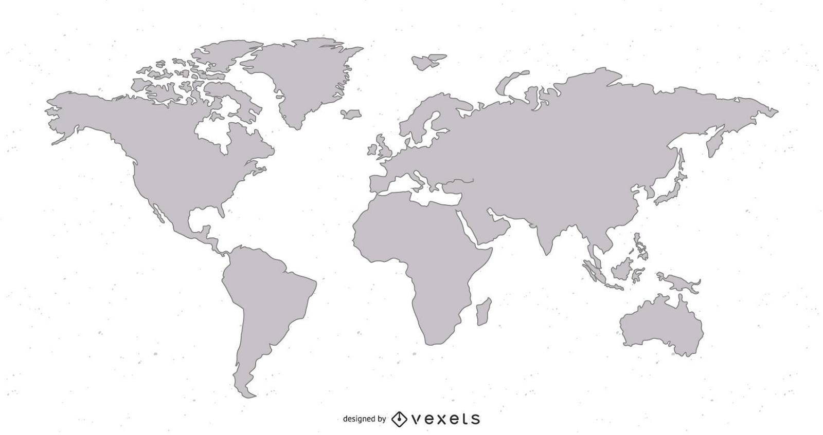
world map illustration design
Choose a folder
All favorites
Create new
Save
world map illustration design
South america stroke continents map PNG Design
Choose a folder
All favorites
Create new
Save
South america stroke continents map PNG Design
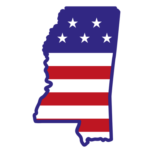
Mississippi color stroke states PNG Design
Choose a folder
All favorites
Create new
Save
Mississippi color stroke states PNG Design
Montana usa map silhouette PNG Design
Choose a folder
All favorites
Create new
Save
Montana usa map silhouette PNG Design
Honduras horchata stroke PNG Design
Choose a folder
All favorites
Create new
Save
Honduras horchata stroke PNG Design
Scarlet macaw honduras element PNG Design
Choose a folder
All favorites
Create new
Save
Scarlet macaw honduras element PNG Design
Premium
South africa heart flag PNG Design
Choose a folder
All favorites
Create new
Save
South africa heart flag PNG Design
Premium
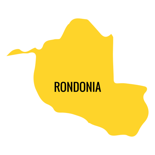
Rondonia state map PNG Design
Choose a folder
All favorites
Create new
Save
Rondonia state map PNG Design
Premium
Belgium flag badge PNG Design
Choose a folder
All favorites
Create new
Save
Belgium flag badge PNG Design
Premium
Congo democratic republic national flag PNG Design
Choose a folder
All favorites
Create new
Save
Congo democratic republic national flag PNG Design
Premium
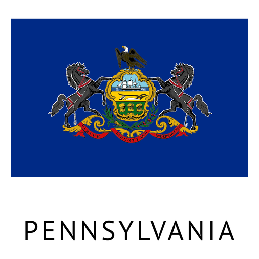
Pennsylvania state flag PNG Design
Choose a folder
All favorites
Create new
Save
Pennsylvania state flag PNG Design
Premium
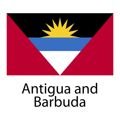
Antigua and barbuda national flag PNG Design
Choose a folder
All favorites
Create new
Save
Antigua and barbuda national flag PNG Design
Premium
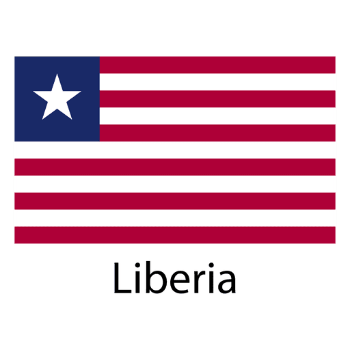
Liberia national flag PNG Design
Choose a folder
All favorites
Create new
Save
Liberia national flag PNG Design
Premium
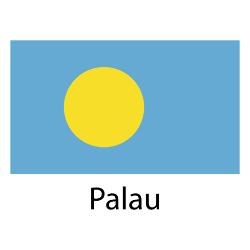
Palau national flag PNG Design
Choose a folder
All favorites
Create new
Save
Palau national flag PNG Design
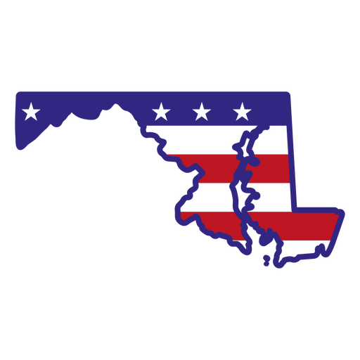
Maryland color stroke states PNG Design
Choose a folder
All favorites
Create new
Save
Maryland color stroke states PNG Design
South Carolina state stroke map PNG Design
Choose a folder
All favorites
Create new
Save
South Carolina state stroke map PNG Design
Premium
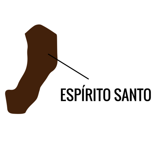
Espirito santo state map PNG Design
Choose a folder
All favorites
Create new
Save
Espirito santo state map PNG Design
Premium
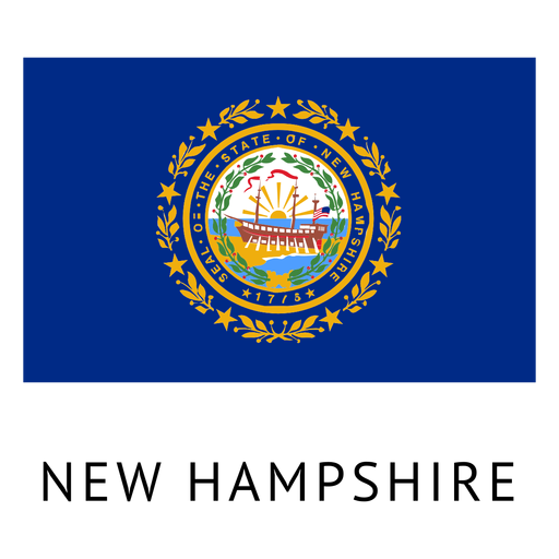
New hampshire state flag PNG Design
Choose a folder
All favorites
Create new
Save
New hampshire state flag PNG Design
Premium
Oregon state flag PNG Design
Choose a folder
All favorites
Create new
Save
Oregon state flag PNG Design
Alabama color stroke states PNG Design
Choose a folder
All favorites
Create new
Save
Alabama color stroke states PNG Design
Tikal guatemala flat PNG Design
Choose a folder
All favorites
Create new
Save
Tikal guatemala flat PNG Design
Premium
Adygea national flag PNG Design
Choose a folder
All favorites
Create new
Save
Adygea national flag PNG Design
Premium
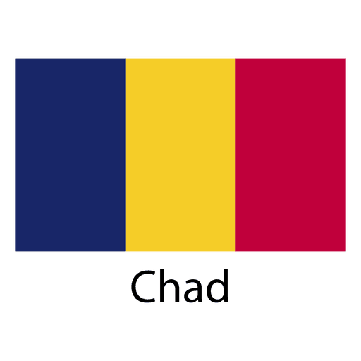
Chad national flag PNG Design
Choose a folder
All favorites
Create new
Save
Chad national flag PNG Design
Premium
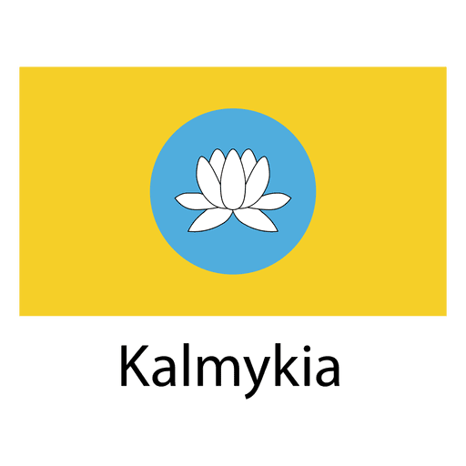
Kalmykia national flag PNG Design
Choose a folder
All favorites
Create new
Save
Kalmykia national flag PNG Design
Premium
Monaco national flag PNG Design
Choose a folder
All favorites
Create new
Save
Monaco national flag PNG Design
Wyoming color stroke states PNG Design
Choose a folder
All favorites
Create new
Save
Wyoming color stroke states PNG Design
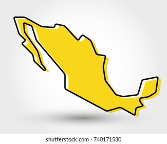
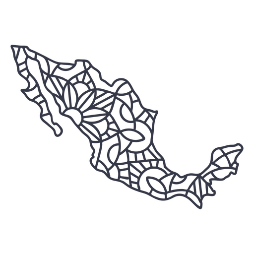
Mexico map silhouette mandala stroke PNG Design
Choose a folder
All favorites
Create new
Save
Mexico map silhouette mandala stroke PNG Design
Comayagua cathedral illustration PNG Design
Choose a folder
All favorites
Create new
Save
Comayagua cathedral illustration PNG Design
Premium
Acre state map PNG Design
Choose a folder
All favorites
Create new
Save
Acre state map PNG Design
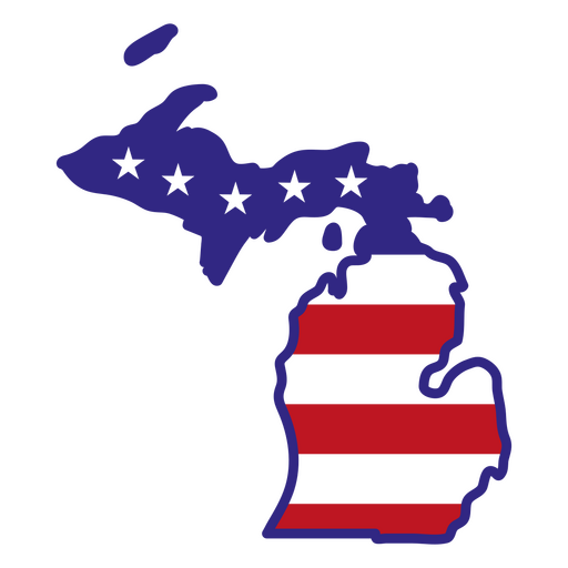
Michigan color stroke states PNG Design
Choose a folder
All favorites
Create new
Save
Michigan color stroke states PNG Design
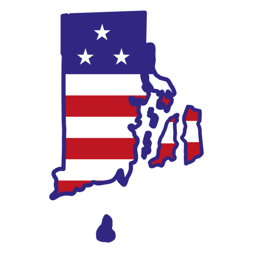
Rhode island color stroke states PNG Design
Choose a folder
All favorites
Create new
Save
Rhode island color stroke states PNG Design
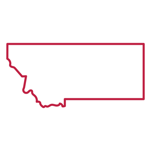
Montana state stroke map PNG Design
Choose a folder
All favorites
Create new
Save
Montana state stroke map PNG Design
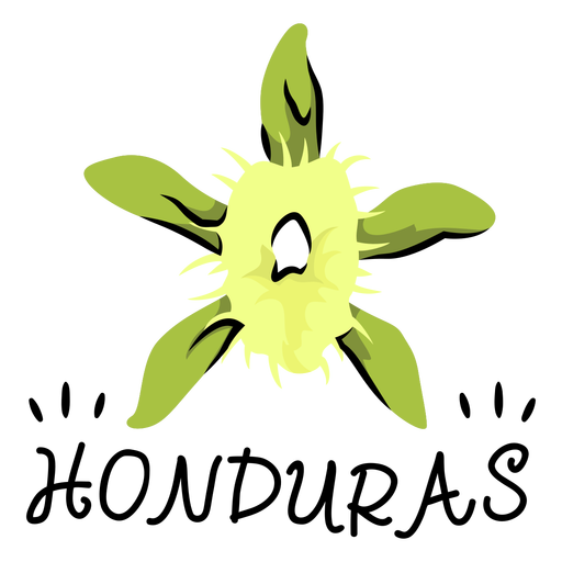
Honduras national orchid illustration PNG Design
Choose a folder
All favorites
Create new
Save
Honduras national orchid illustration PNG Design
Premium
Serbia heart flag PNG Design
Choose a folder
All favorites
Create new
Save
Serbia heart flag PNG Design
Premium
Haryana state map PNG Design
Choose a folder
All favorites
Create new
Save
Haryana state map PNG Design
Premium
French polynesia national flag PNG Design
Choose a folder
All favorites
Create new
Save
French polynesia national flag PNG Design
Kentucky color stroke states PNG Design
Choose a folder
All favorites
Create new
Save
Kentucky color stroke states PNG Design
Premium
Brushstroke canada flag flat PNG Design
Choose a folder
All favorites
Create new
Save
Brushstroke canada flag flat PNG Design
Uruguay sun art stroke PNG Design
Choose a folder
All favorites
Create new
Save
Uruguay sun art stroke PNG Design
Premium
Italy flag language icon PNG Design
Choose a folder
All favorites
Create new
Save
Italy flag language icon PNG Design
Premium
South carolina state flag PNG Design
Choose a folder
All favorites
Create new
Save
South carolina state flag PNG Design
Italy Mandala Map PNG Design
Choose a folder
All favorites
Create new
Save
Italy Mandala Map PNG Design
Premium
Roraima state map PNG Design
Choose a folder
All favorites
Create new
Save
Roraima state map PNG Design
Premium
Tocantins state map PNG Design
Choose a folder
All favorites
Create new
Save
Tocantins state map PNG Design
Premium
Idaho state flag PNG Design
Choose a folder
All favorites
Create new
Save
Idaho state flag PNG Design
Premium
Gibraltar national flag PNG Design
Choose a folder
All favorites
Create new
Save
Gibraltar national flag PNG Design
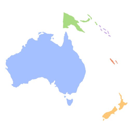
Oceania flat continents map PNG Design
Choose a folder
All favorites
Create new
Save
Oceania flat continents map PNG Design
Carnival dominican republic doodle PNG Design
Choose a folder
All favorites
Create new
Save
Carnival dominican republic doodle PNG Design
Premium
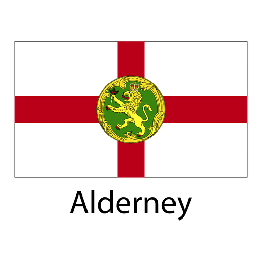
Alderney national flag PNG Design
Choose a folder
All favorites
Create new
Save
Alderney national flag PNG Design
Boost Your Business
With The Leading Graphic Platform For Merch.
SEE PLANS
Next
of 39
prev page
next page