Design Library
New Merch Designs
T-Shirts
Vectors
Trending Merch Designs
PNGs & SVGs
Mockups
T-Shirt PSD Templates
Explore Designs
KDP Designs
Posters
Mugs
Phone Cases
Tote Bags
Pillows
Design Tools
Merch Designer
New!
Mockup Generator
AI Design Generator
Image Vectorizer
Quote Generator
T-Shirt Maker (Old)
Resources
Merch Digest
Blog
Help Center
Learn About Merch
Feedback
Corporate Solutions
Enterprise
API Access
Design Studio
Bulk Design Production
Pricing
Loading...
Sign Up
Login
All
country
maps
Design Library
New Merch Designs
T-Shirts
Vectors
Trending Merch Designs
PNGs & SVGs
Mockups
T-Shirt PSD Templates
Explore Designs
KDP Designs
Posters
Mugs
Phone Cases
Tote Bags
Pillows
Design Tools
Merch Designer
New!
Mockup Generator
AI Design Generator
Image Vectorizer
Quote Generator
T-Shirt Maker (Old)
Resources
Merch Digest
Blog
Help Center
Learn About Merch
Feedback
Corporate Solutions
Enterprise
API Access
Design Studio
Bulk Design Production
PLANS
All
country
maps
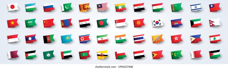
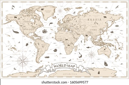
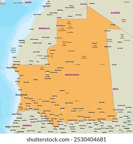
1936 country maps designs graphics for t-shirt and print on demand merch
Download country maps t-shirt designs and other merch graphics like book covers, phone cases, tote bags and more.
Sort by
Most relevant
Sponsored results by
Get 15% off with code: VEXELS15
Show more
Premium
Tlaxcala state map PNG Design
Choose a folder
All favorites
Create new
Save
Tlaxcala state map PNG Design
Premium
Liechtenstein national flag PNG Design
Choose a folder
All favorites
Create new
Save
Liechtenstein national flag PNG Design
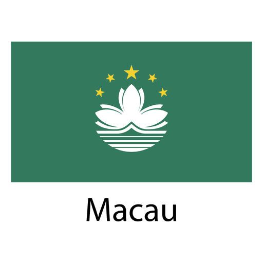
Premium
Macau national flag PNG Design
Choose a folder
All favorites
Create new
Save
Macau national flag PNG Design
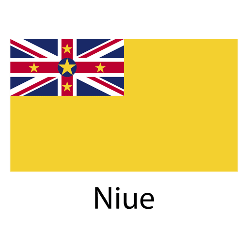
Premium
Niue national flag PNG Design
Choose a folder
All favorites
Create new
Save
Niue national flag PNG Design
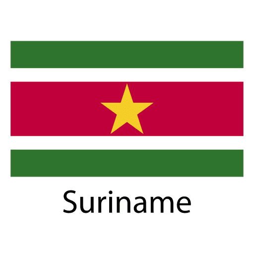
Premium
Suriname national flag PNG Design
Choose a folder
All favorites
Create new
Save
Suriname national flag PNG Design
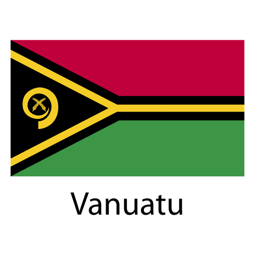
Premium
Vanuatu national flag PNG Design
Choose a folder
All favorites
Create new
Save
Vanuatu national flag PNG Design
Premium
Jamaica heart flag PNG Design
Choose a folder
All favorites
Create new
Save
Jamaica heart flag PNG Design
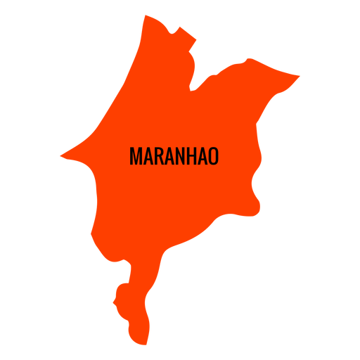
Premium
Maranhao state map PNG Design
Choose a folder
All favorites
Create new
Save
Maranhao state map PNG Design
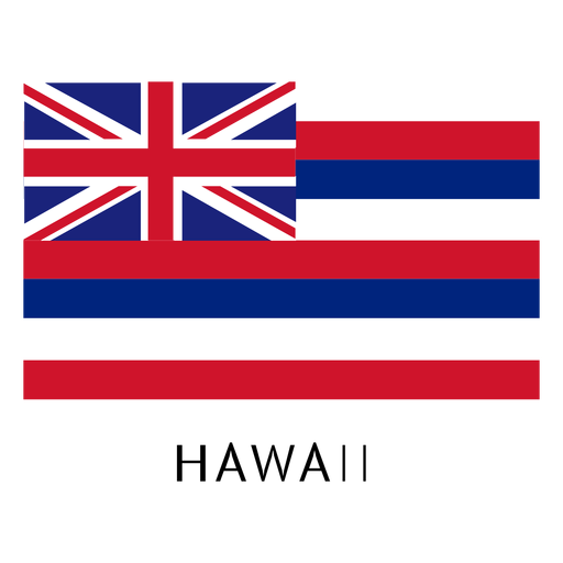
Premium
Hawaii state flag PNG Design
Choose a folder
All favorites
Create new
Save
Hawaii state flag PNG Design
Premium
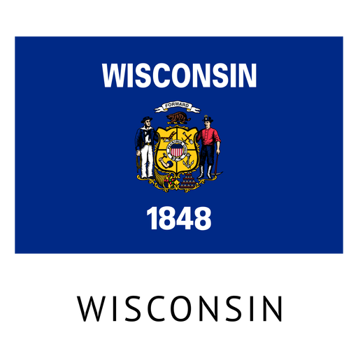
Wisconsin state flag PNG Design
Choose a folder
All favorites
Create new
Save
Wisconsin state flag PNG Design
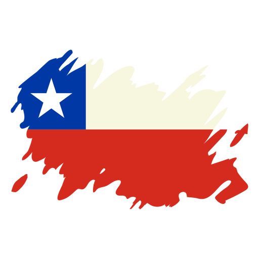
Chile brushy flag design PNG Design
Choose a folder
All favorites
Create new
Save
Chile brushy flag design PNG Design
Premium
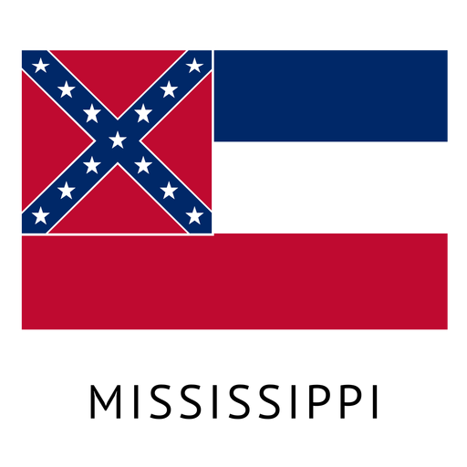
Mississippi state flag PNG Design
Choose a folder
All favorites
Create new
Save
Mississippi state flag PNG Design
Premium
Ingushetia national flag PNG Design
Choose a folder
All favorites
Create new
Save
Ingushetia national flag PNG Design
Premium
Sudan national flag PNG Design
Choose a folder
All favorites
Create new
Save
Sudan national flag PNG Design
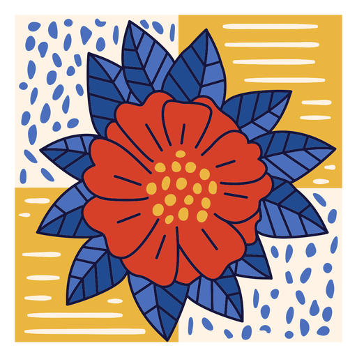
Bayahibe rose dominican doodle PNG Design
Choose a folder
All favorites
Create new
Save
Bayahibe rose dominican doodle PNG Design
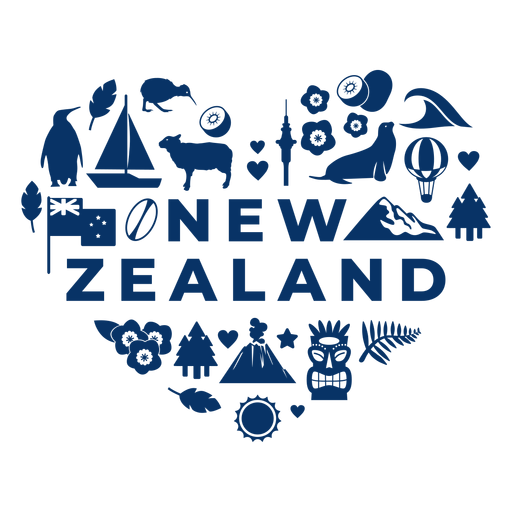
New zealand heart PNG Design
Choose a folder
All favorites
Create new
Save
New zealand heart PNG Design
Premium
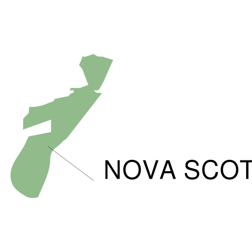
Nova scotia province map PNG Design
Choose a folder
All favorites
Create new
Save
Nova scotia province map PNG Design
Premium
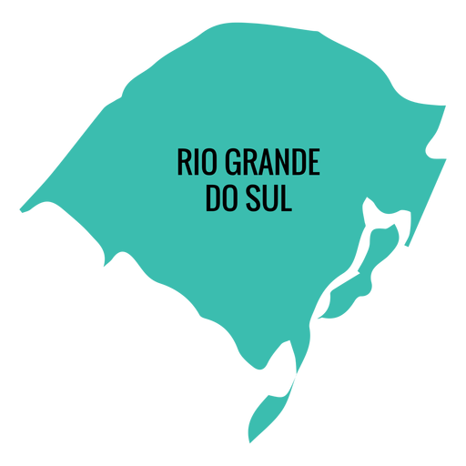
Rio grande do sul state map PNG Design
Choose a folder
All favorites
Create new
Save
Rio grande do sul state map PNG Design
Premium
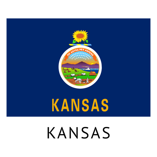
Kansas state flag PNG Design
Choose a folder
All favorites
Create new
Save
Kansas state flag PNG Design
Premium
Falkland islands national flag PNG Design
Choose a folder
All favorites
Create new
Save
Falkland islands national flag PNG Design
Premium
Trinidad and tobago national flag PNG Design
Choose a folder
All favorites
Create new
Save
Trinidad and tobago national flag PNG Design
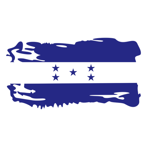
Honduras brushy flag design PNG Design
Choose a folder
All favorites
Create new
Save
Honduras brushy flag design PNG Design
Premium
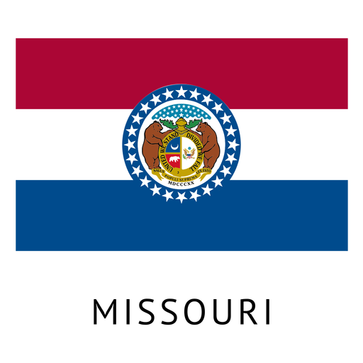
Missouri state flag PNG Design
Choose a folder
All favorites
Create new
Save
Missouri state flag PNG Design
Premium
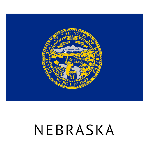
Nebraska state flag PNG Design
Choose a folder
All favorites
Create new
Save
Nebraska state flag PNG Design
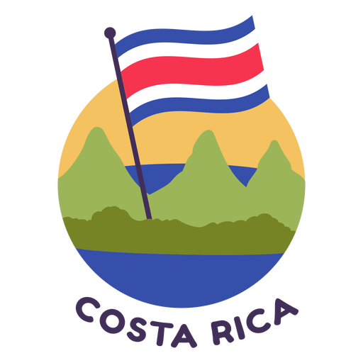
Costa rica flag flat PNG Design
Choose a folder
All favorites
Create new
Save
Costa rica flag flat PNG Design
Premium
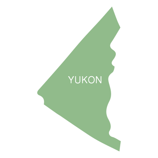
Yukon territory map PNG Design
Choose a folder
All favorites
Create new
Save
Yukon territory map PNG Design
Premium
Seychelles national flag PNG Design
Choose a folder
All favorites
Create new
Save
Seychelles national flag PNG Design
Premium
Syria national flag PNG Design
Choose a folder
All favorites
Create new
Save
Syria national flag PNG Design
New Mexico usa map silhouette PNG Design
Choose a folder
All favorites
Create new
Save
New Mexico usa map silhouette PNG Design
Print ready
for Merch
Scotland map t-shirt design
Choose a folder
All favorites
Create new
Save
Scotland map t-shirt design
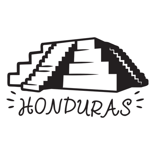
Copan ruins honduras element PNG Design
Choose a folder
All favorites
Create new
Save
Copan ruins honduras element PNG Design
Shinning maple leaf flat PNG Design
Choose a folder
All favorites
Create new
Save
Shinning maple leaf flat PNG Design
Premium
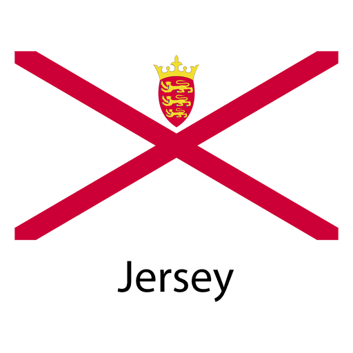
Jersey national flag PNG Design
Choose a folder
All favorites
Create new
Save
Jersey national flag PNG Design
Premium
Swaziland national flag PNG Design
Choose a folder
All favorites
Create new
Save
Swaziland national flag PNG Design
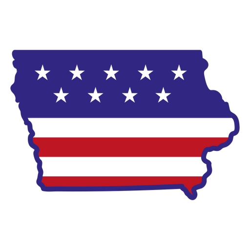
Iowa color stroke states PNG Design
Choose a folder
All favorites
Create new
Save
Iowa color stroke states PNG Design
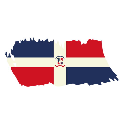
Dominican republic brushy flag design PNG Design
Choose a folder
All favorites
Create new
Save
Dominican republic brushy flag design PNG Design
Premium
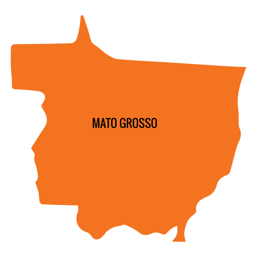
Mato grosso state map PNG Design
Choose a folder
All favorites
Create new
Save
Mato grosso state map PNG Design
Premium
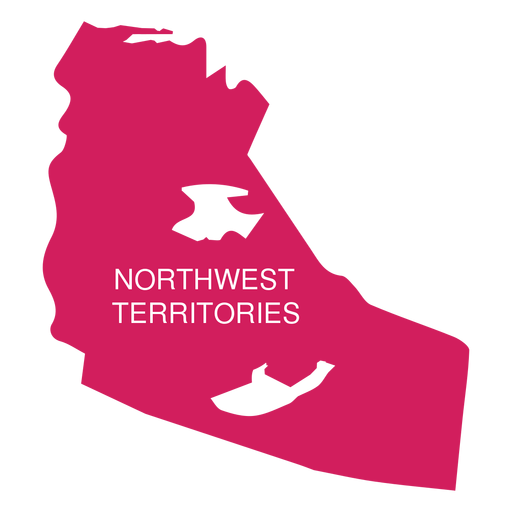
Northwest territories territory map PNG Design
Choose a folder
All favorites
Create new
Save
Northwest territories territory map PNG Design
Premium
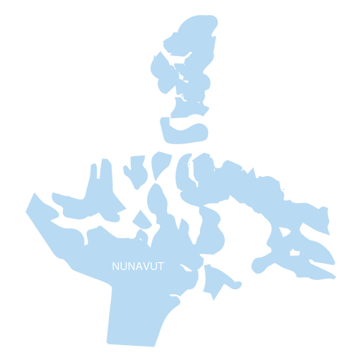
Nunavut territory map PNG Design
Choose a folder
All favorites
Create new
Save
Nunavut territory map PNG Design
Premium
Sergipe state map PNG Design
Choose a folder
All favorites
Create new
Save
Sergipe state map PNG Design
La havana traditional car flat design PNG Design
Choose a folder
All favorites
Create new
Save
La havana traditional car flat design PNG Design
United states of america icon PNG Design
Choose a folder
All favorites
Create new
Save
United states of america icon PNG Design
Premium
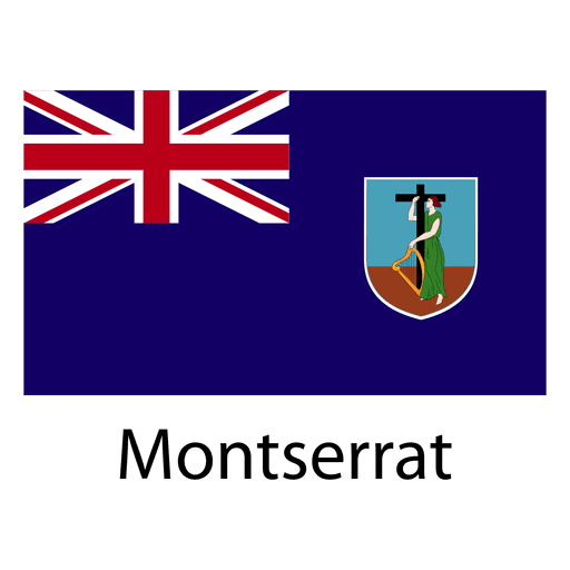
Montserrat national flag PNG Design
Choose a folder
All favorites
Create new
Save
Montserrat national flag PNG Design
Uruguay bandoneon stroke PNG Design
Choose a folder
All favorites
Create new
Save
Uruguay bandoneon stroke PNG Design
Premium
Alagoas state map PNG Design
Choose a folder
All favorites
Create new
Save
Alagoas state map PNG Design
Premium
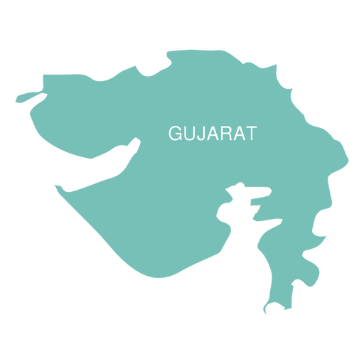
Gujarat state map PNG Design
Choose a folder
All favorites
Create new
Save
Gujarat state map PNG Design
Premium
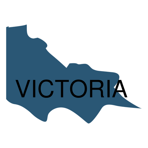
Victoria state map PNG Design
Choose a folder
All favorites
Create new
Save
Victoria state map PNG Design
Premium
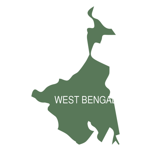
West bengal state map PNG Design
Choose a folder
All favorites
Create new
Save
West bengal state map PNG Design
Premium
Mordovia national flag PNG Design
Choose a folder
All favorites
Create new
Save
Mordovia national flag PNG Design
Premium
Wagon wheel cut out icon PNG Design
Choose a folder
All favorites
Create new
Save
Wagon wheel cut out icon PNG Design
Boost Your Business
With The Leading Graphic Platform For Merch.
SEE PLANS
Next
of 39
prev page
next page