Design Library
New Merch Designs
T-Shirts
Vectors
Trending Merch Designs
PNGs & SVGs
Mockups
T-Shirt PSD Templates
Explore Designs
KDP Designs
Posters
Mugs
Phone Cases
Tote Bags
Pillows
Design Tools
Merch Designer
New!
Mockup Generator
AI Design Generator
Image Vectorizer
Quote Generator
T-Shirt Maker (Old)
Resources
Merch Digest
Blog
Help Center
Learn About Merch
Feedback
Corporate Solutions
Enterprise
API Access
Design Studio
Bulk Design Production
Pricing
Loading...
Sign Up
Login
All
country
maps
Design Library
New Merch Designs
T-Shirts
Vectors
Trending Merch Designs
PNGs & SVGs
Mockups
T-Shirt PSD Templates
Explore Designs
KDP Designs
Posters
Mugs
Phone Cases
Tote Bags
Pillows
Design Tools
Merch Designer
New!
Mockup Generator
AI Design Generator
Image Vectorizer
Quote Generator
T-Shirt Maker (Old)
Resources
Merch Digest
Blog
Help Center
Learn About Merch
Feedback
Corporate Solutions
Enterprise
API Access
Design Studio
Bulk Design Production
PLANS
All
country
maps
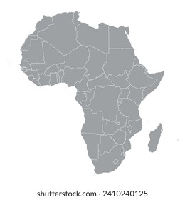
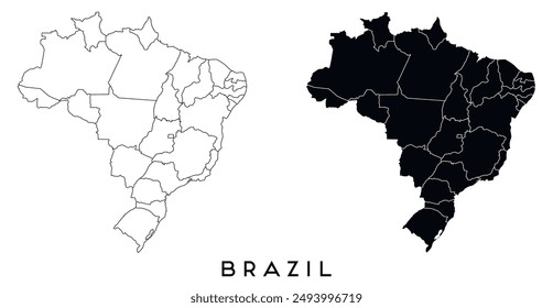
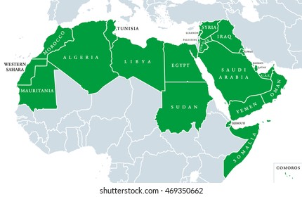
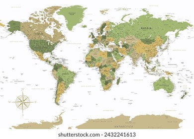
1936 country maps designs graphics for t-shirt and print on demand merch
Download country maps t-shirt designs and other merch graphics like book covers, phone cases, tote bags and more.
Sort by
Most relevant
Sponsored results by
Get 15% off with code: VEXELS15
Show more
Premium
Jalisko state map PNG Design
Choose a folder
All favorites
Create new
Save
Jalisko state map PNG Design
Premium
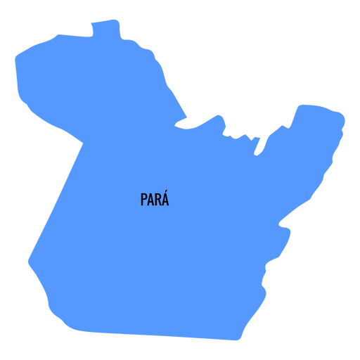
Para state map PNG Design
Choose a folder
All favorites
Create new
Save
Para state map PNG Design
Premium
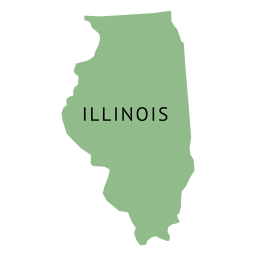
Illionois state plain map PNG Design
Choose a folder
All favorites
Create new
Save
Illionois state plain map PNG Design
Premium
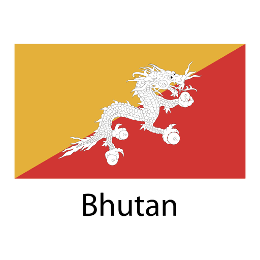
Bhutan national flag PNG Design
Choose a folder
All favorites
Create new
Save
Bhutan national flag PNG Design
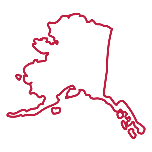
Alaska usa map stroke PNG Design
Choose a folder
All favorites
Create new
Save
Alaska usa map stroke PNG Design
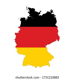
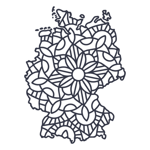
Germany map silhouette mandala stroke PNG Design
Choose a folder
All favorites
Create new
Save
Germany map silhouette mandala stroke PNG Design
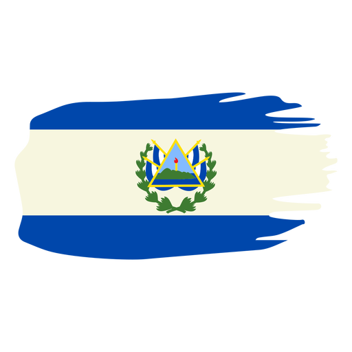
El salvador brushy flag design PNG Design
Choose a folder
All favorites
Create new
Save
El salvador brushy flag design PNG Design
Premium
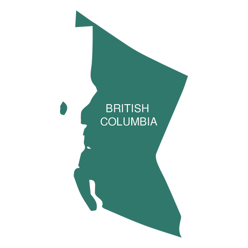
British columbia province map PNG Design
Choose a folder
All favorites
Create new
Save
British columbia province map PNG Design
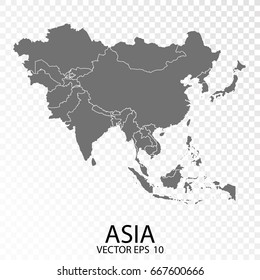
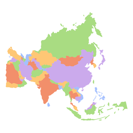
Asia flat continents map PNG Design
Choose a folder
All favorites
Create new
Save
Asia flat continents map PNG Design
Colorado usa map silhouette PNG Design
Choose a folder
All favorites
Create new
Save
Colorado usa map silhouette PNG Design
Premium
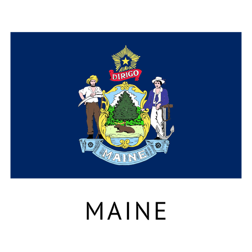
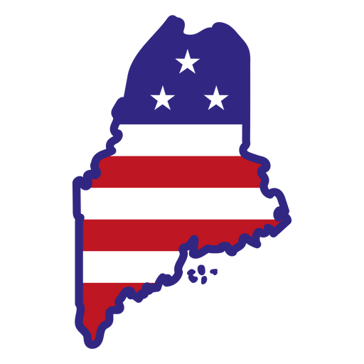
Maine state flag PNG Design
Choose a folder
All favorites
Create new
Save
Maine state flag PNG Design
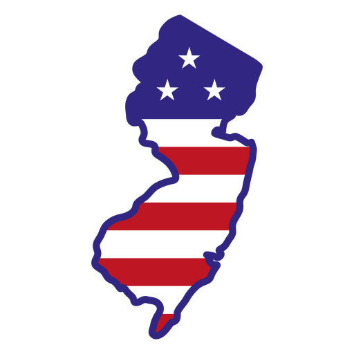
New jersey color stroke states PNG Design
Choose a folder
All favorites
Create new
Save
New jersey color stroke states PNG Design
Maine color stroke states PNG Design
Choose a folder
All favorites
Create new
Save
Maine color stroke states PNG Design
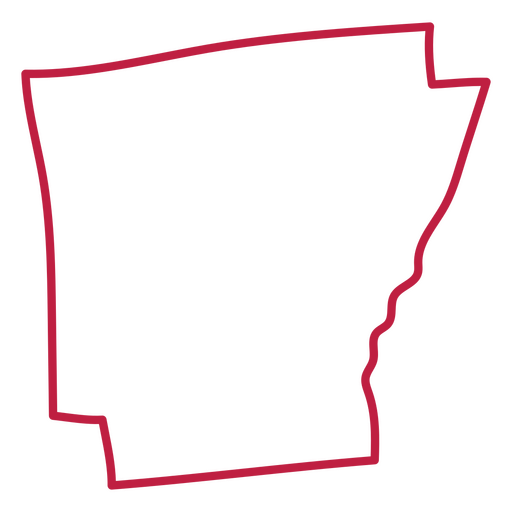
Arkansas usa map stroke PNG Design
Choose a folder
All favorites
Create new
Save
Arkansas usa map stroke PNG Design
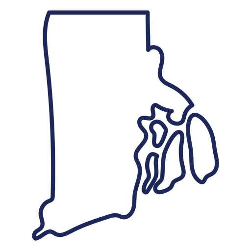
Rhode island state stroke map PNG Design
Choose a folder
All favorites
Create new
Save
Rhode island state stroke map PNG Design
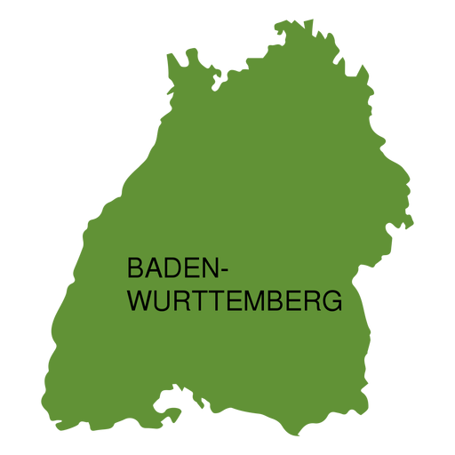
Premium
Baden wurttemberg state map PNG Design
Choose a folder
All favorites
Create new
Save
Baden wurttemberg state map PNG Design
Horchata honduras illustration PNG Design
Choose a folder
All favorites
Create new
Save
Horchata honduras illustration PNG Design
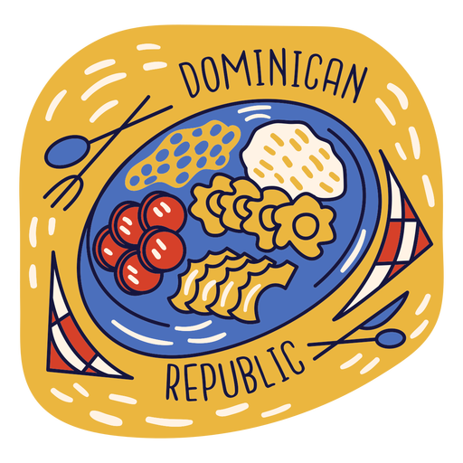
Merengue dominican republic doodle PNG Design
Choose a folder
All favorites
Create new
Save
Merengue dominican republic doodle PNG Design
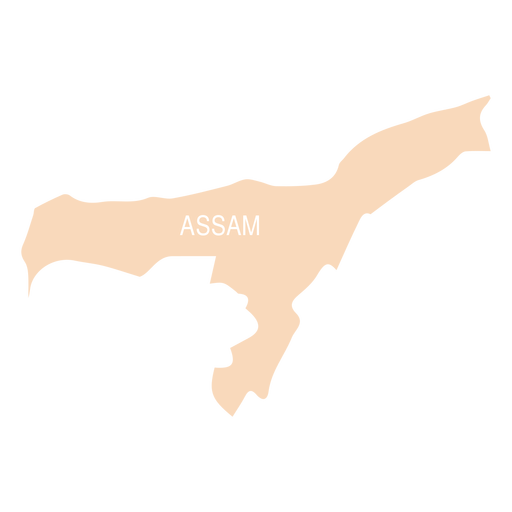
Premium
Assam state map PNG Design
Choose a folder
All favorites
Create new
Save
Assam state map PNG Design
Premium
Connecticut state flag PNG Design
Choose a folder
All favorites
Create new
Save
Connecticut state flag PNG Design
Premium
Portugal flag badge PNG Design
Choose a folder
All favorites
Create new
Save
Portugal flag badge PNG Design
Mangu breakfast dominican doodle PNG Design
Choose a folder
All favorites
Create new
Save
Mangu breakfast dominican doodle PNG Design
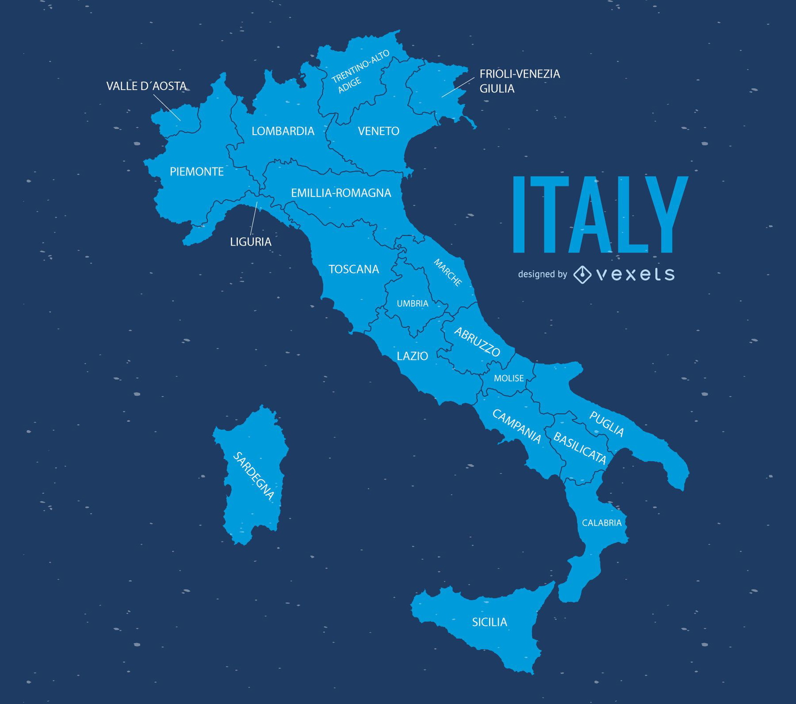
Italy map illustration
Choose a folder
All favorites
Create new
Save
Italy map illustration
Premium
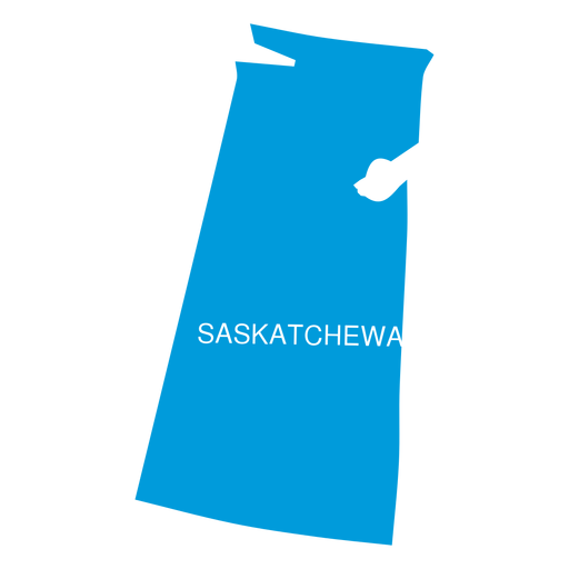
Saskatchewan province map PNG Design
Choose a folder
All favorites
Create new
Save
Saskatchewan province map PNG Design
Premium
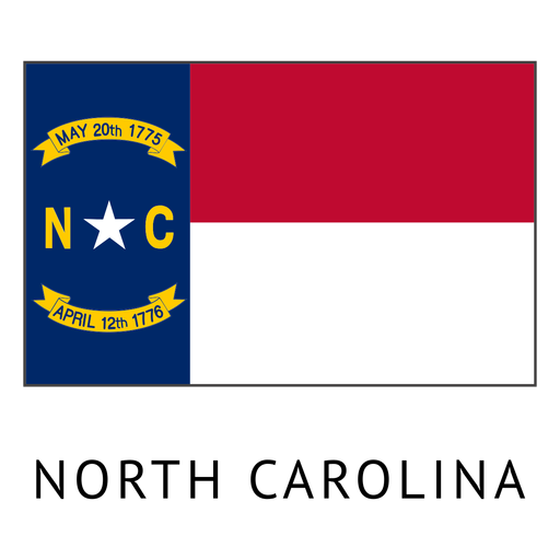
North carolina state flag PNG Design
Choose a folder
All favorites
Create new
Save
North carolina state flag PNG Design
Premium
France flag badge PNG Design
Choose a folder
All favorites
Create new
Save
France flag badge PNG Design
Premium
Italy flag language icon circle PNG Design
Choose a folder
All favorites
Create new
Save
Italy flag language icon circle PNG Design
Premium
Thailand heart flag PNG Design
Choose a folder
All favorites
Create new
Save
Thailand heart flag PNG Design
Premium
Paraiba state map PNG Design
Choose a folder
All favorites
Create new
Save
Paraiba state map PNG Design
Indiana color stroke states PNG Design
Choose a folder
All favorites
Create new
Save
Indiana color stroke states PNG Design
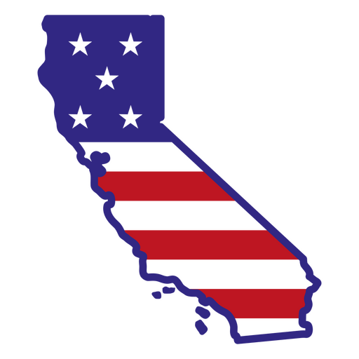
California color stroke states PNG Design
Choose a folder
All favorites
Create new
Save
California color stroke states PNG Design
Premium
Greece heart flag PNG Design
Choose a folder
All favorites
Create new
Save
Greece heart flag PNG Design
Premium
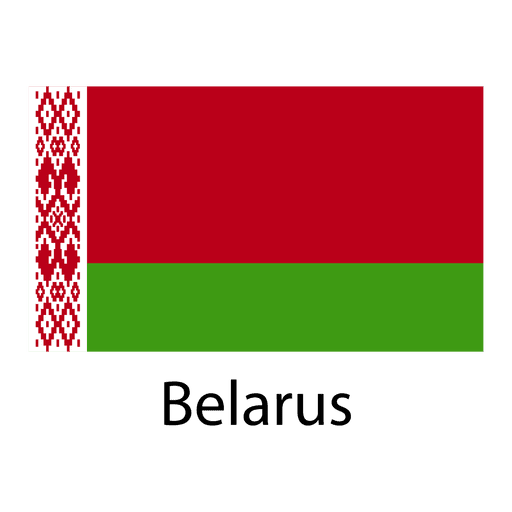
Belarus national flag PNG Design
Choose a folder
All favorites
Create new
Save
Belarus national flag PNG Design
Premium
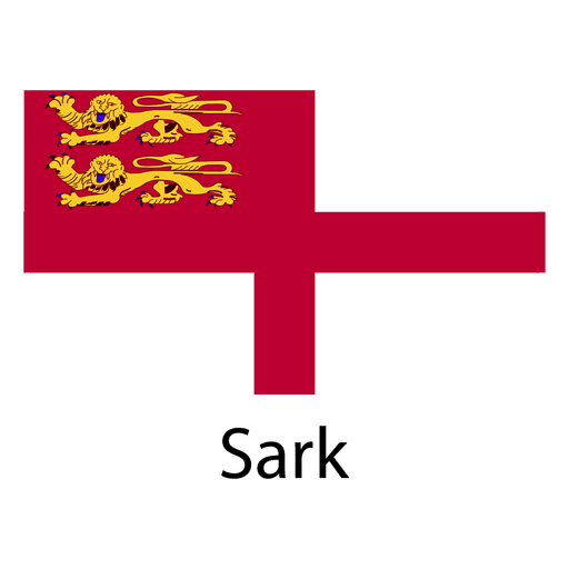
Sark national flag PNG Design
Choose a folder
All favorites
Create new
Save
Sark national flag PNG Design
Premium
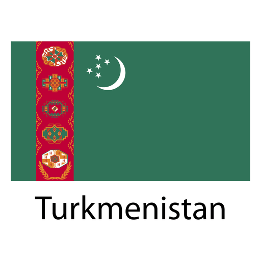
Turkmenistan national flag PNG Design
Choose a folder
All favorites
Create new
Save
Turkmenistan national flag PNG Design
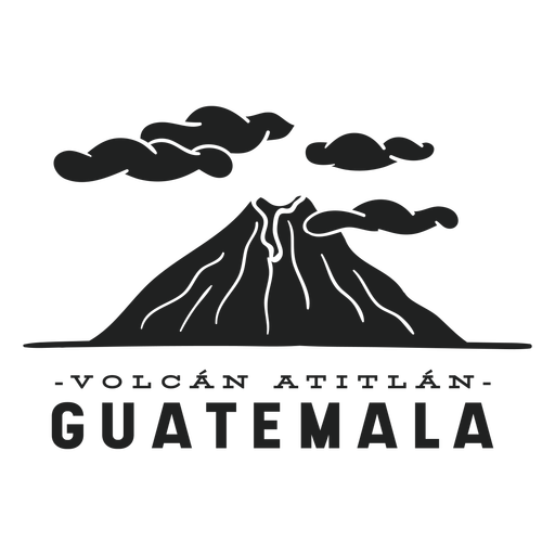
Atitlan volcano guatemala cut out PNG Design
Choose a folder
All favorites
Create new
Save
Atitlan volcano guatemala cut out PNG Design
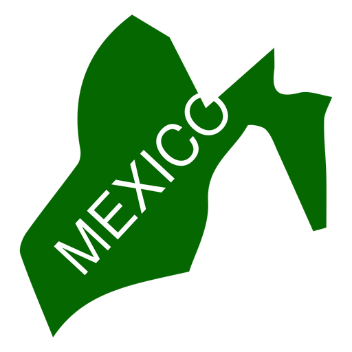
Premium
Mexico state map PNG Design
Choose a folder
All favorites
Create new
Save
Mexico state map PNG Design
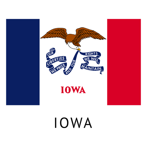
Premium
Iowa state flag PNG Design
Choose a folder
All favorites
Create new
Save
Iowa state flag PNG Design
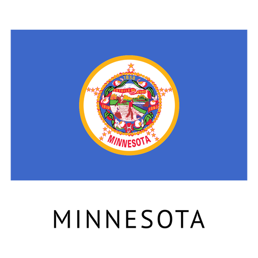
Premium
Minnesota state flag PNG Design
Choose a folder
All favorites
Create new
Save
Minnesota state flag PNG Design
Premium
Switzerland flag badge PNG Design
Choose a folder
All favorites
Create new
Save
Switzerland flag badge PNG Design
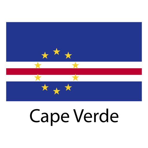
Premium
Cape verde national flag PNG Design
Choose a folder
All favorites
Create new
Save
Cape verde national flag PNG Design
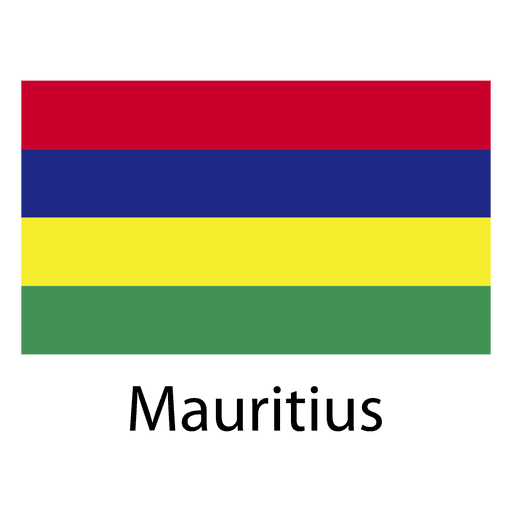
Premium
Mauritius national flag PNG Design
Choose a folder
All favorites
Create new
Save
Mauritius national flag PNG Design
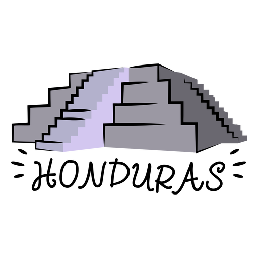
Copan ruins honduras illustration PNG Design
Choose a folder
All favorites
Create new
Save
Copan ruins honduras illustration PNG Design
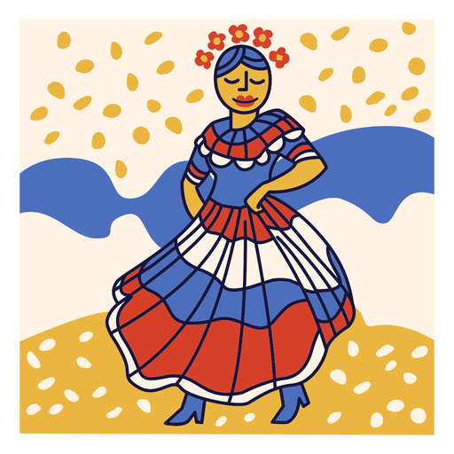
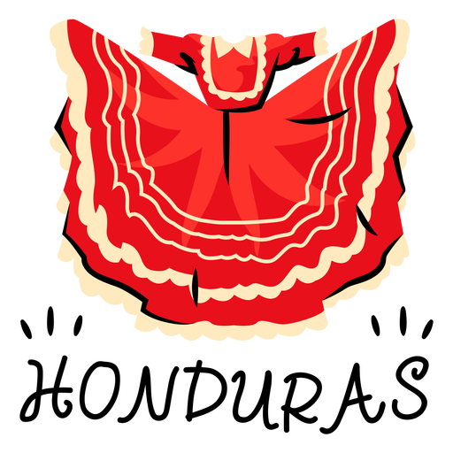
Guajiniquil dress honduras illustration PNG Design
Choose a folder
All favorites
Create new
Save
Guajiniquil dress honduras illustration PNG Design
Premium
Toronto landscape on maple leaf flat PNG Design
Choose a folder
All favorites
Create new
Save
Toronto landscape on maple leaf flat PNG Design
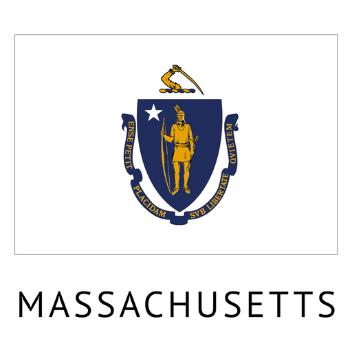
Premium
Massachusetts state flag PNG Design
Choose a folder
All favorites
Create new
Save
Massachusetts state flag PNG Design
Premium
Ecuador flag badge PNG Design
Choose a folder
All favorites
Create new
Save
Ecuador flag badge PNG Design
Premium
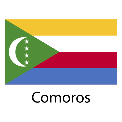
Comoros national flag PNG Design
Choose a folder
All favorites
Create new
Save
Comoros national flag PNG Design
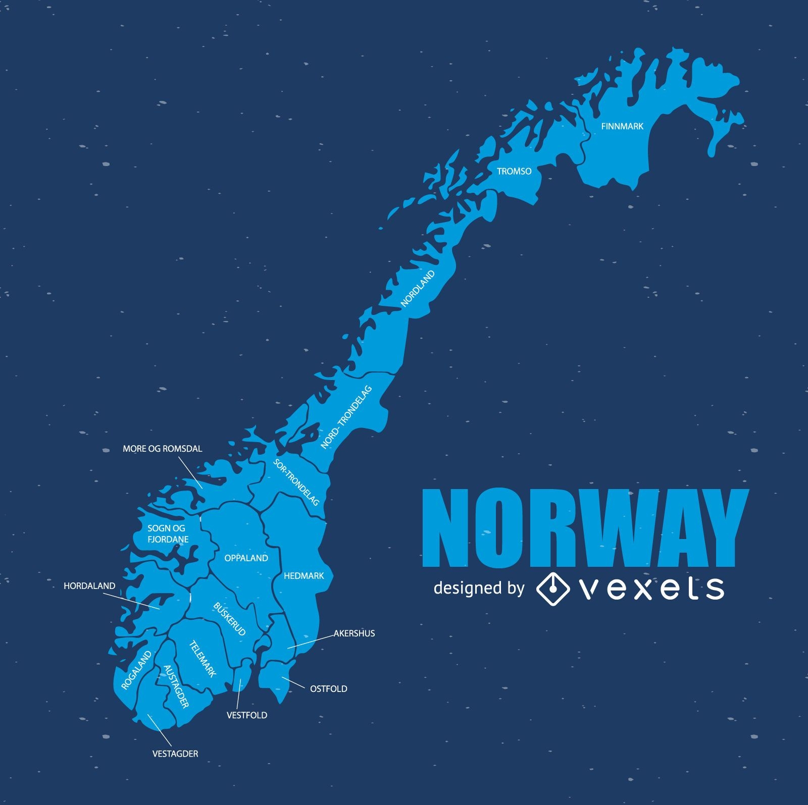
Norway map
Choose a folder
All favorites
Create new
Save
Norway map
Premium
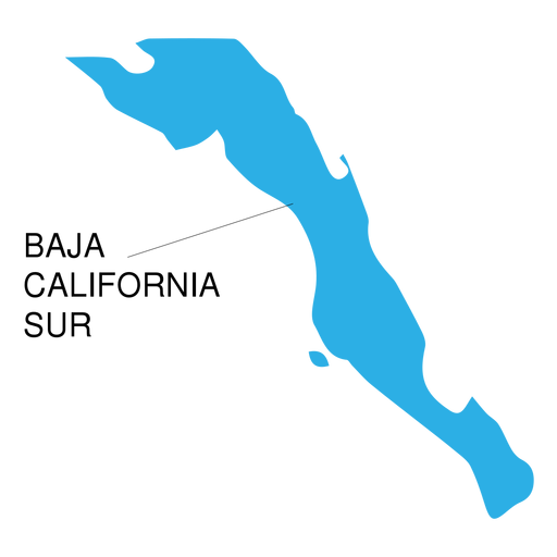
Baja california sur state map PNG Design
Choose a folder
All favorites
Create new
Save
Baja california sur state map PNG Design
Boost Your Business
With The Leading Graphic Platform For Merch.
SEE PLANS
Next
of 39
prev page
next page